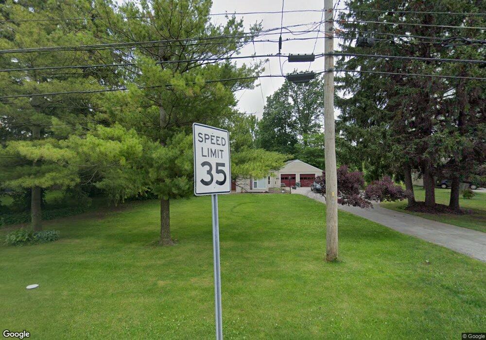
606 Napoleon Rd Bowling Green, OH 43402
Estimated Value: $195,000 - $228,263
2
Beds
1
Bath
1,452
Sq Ft
$148/Sq Ft
Est. Value
About This Home
This home is located at 606 Napoleon Rd, Bowling Green, OH 43402 and is currently estimated at $214,816, approximately $147 per square foot. 606 Napoleon Rd is a home located in Wood County with nearby schools including Bowling Green High School, Montessori School Of Bowling Green, and Bowling Green Christian Academy.
Ownership History
Date
Name
Owned For
Owner Type
Purchase Details
Closed on
Jul 16, 2020
Sold by
Swaney Gary L and Swaney Amy L
Bought by
Kominek Christopher J
Current Estimated Value
Home Financials for this Owner
Home Financials are based on the most recent Mortgage that was taken out on this home.
Original Mortgage
$148,105
Outstanding Balance
$131,330
Interest Rate
3.1%
Mortgage Type
New Conventional
Estimated Equity
$83,486
Purchase Details
Closed on
Jun 3, 1996
Sold by
Burke Richard
Bought by
Swaney Gary L and Swaney Amy L
Home Financials for this Owner
Home Financials are based on the most recent Mortgage that was taken out on this home.
Original Mortgage
$85,000
Interest Rate
7.99%
Mortgage Type
New Conventional
Purchase Details
Closed on
Jul 31, 1986
Bought by
Burke Richard
Create a Home Valuation Report for This Property
The Home Valuation Report is an in-depth analysis detailing your home's value as well as a comparison with similar homes in the area
Home Values in the Area
Average Home Value in this Area
Purchase History
| Date | Buyer | Sale Price | Title Company |
|---|---|---|---|
| Kominek Christopher J | $155,900 | None Available | |
| Swaney Gary L | $90,000 | -- | |
| Burke Richard | $62,500 | -- |
Source: Public Records
Mortgage History
| Date | Status | Borrower | Loan Amount |
|---|---|---|---|
| Open | Kominek Christopher J | $148,105 | |
| Previous Owner | Swaney Gary L | $85,000 |
Source: Public Records
Tax History Compared to Growth
Tax History
| Year | Tax Paid | Tax Assessment Tax Assessment Total Assessment is a certain percentage of the fair market value that is determined by local assessors to be the total taxable value of land and additions on the property. | Land | Improvement |
|---|---|---|---|---|
| 2024 | $2,411 | $54,180 | $23,555 | $30,625 |
| 2023 | $2,411 | $54,190 | $23,560 | $30,630 |
| 2021 | $2,082 | $46,980 | $19,920 | $27,060 |
| 2020 | $2,074 | $46,980 | $19,920 | $27,060 |
| 2019 | $1,923 | $41,660 | $19,920 | $21,740 |
| 2018 | $1,910 | $41,660 | $19,920 | $21,740 |
| 2017 | $1,888 | $41,660 | $19,920 | $21,740 |
| 2016 | $1,785 | $39,170 | $19,920 | $19,250 |
| 2015 | $1,785 | $39,170 | $19,920 | $19,250 |
| 2014 | $1,847 | $39,170 | $19,920 | $19,250 |
| 2013 | $1,986 | $39,170 | $19,920 | $19,250 |
Source: Public Records
Map
Nearby Homes
- 629 S Summit St
- 608 S Summit St
- Lot 36 S Prospect St
- Lot 41 S Prospect St
- Lot 40 S Prospect St
- 448 S Church St
- 518 S Grove St
- 4 Mackenzie Ct
- 7 Augusta Dr Unit 7
- 210 W Wooster St
- 519 Knollwood Dr
- 14732 Sand Ridge Rd
- 14580 Sand Ridge Rd
- 13380 Klopfenstein Rd
- 545 Wallace Ave
- 0 Haskins Rd Unit 6132516
- 1024 Clark St
- 893 W Wooster St
- 1025 Indian Ridge Dr
- 913 Tomahawk Ln