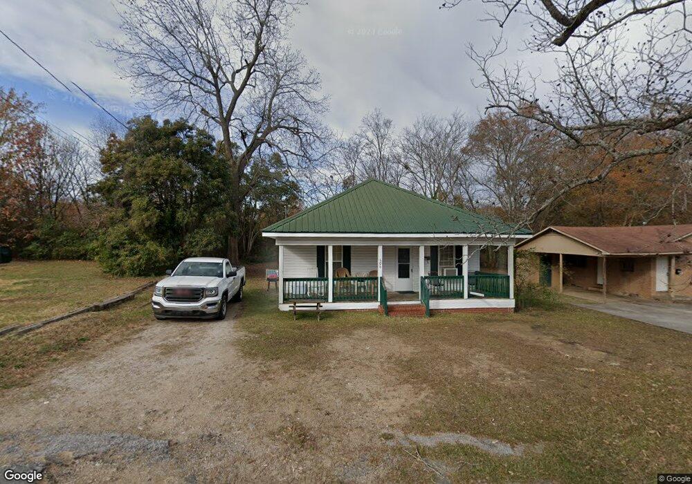
606 Rock St Lancaster, SC 29720
Lancaster AreaEstimated Value: $114,000 - $161,000
About This Home
This home is located at 606 Rock St, Lancaster, SC 29720 and is currently estimated at $141,386, approximately $117 per square foot. 606 Rock St is a home located in Lancaster County with nearby schools including Clinton Elementary School, Buford Middle School, and Lancaster High School.
Ownership History
We collect this data history from publicly available records. To have your information removed, we recommend requesting removal directly through your county’s website.
Purchase Details
Home Financials for this Owner
Home Financials are based on the most recent Mortgage that was taken out on this home.Purchase Details
Purchase Details
Home Values in the Area
Average Home Value in this Area
Purchase History
We collect this data history from publicly available records. To have your information removed, we recommend requesting removal directly through your county’s website.
| Date | Buyer | Sale Price | Title Company |
|---|---|---|---|
| $65,000 | -- | ||
| $12,000 | -- | ||
| $2,500 | -- |
Mortgage History
We collect this data history from publicly available records. To have your information removed, we recommend requesting removal directly through your county’s website.
| Date | Status | Borrower | Loan Amount |
|---|---|---|---|
| Open | $57,000 |
Tax History
We collect this data history from publicly available records. To have your information removed, we recommend requesting removal directly through your county’s website.
| Year | Tax Paid | Tax Assessment Tax Assessment Total Assessment is a certain percentage of the fair market value that is determined by local assessors to be the total taxable value of land and additions on the property. | Land | Improvement |
|---|---|---|---|---|
| 2025 | $157 | $2,806 | $132 | $2,674 |
| 2024 | $87 | $2,440 | $204 | $2,236 |
| 2023 | $98 | $2,440 | $204 | $2,236 |
| 2022 | $105 | $2,440 | $204 | $2,236 |
| 2021 | $103 | $2,440 | $204 | $2,236 |
| 2020 | $532 | $2,268 | $204 | $2,064 |
| 2019 | $1,160 | $2,268 | $204 | $2,064 |
| 2018 | $739 | $2,268 | $204 | $2,064 |
| 2017 | $490 | $0 | $0 | $0 |
| 2016 | $505 | $0 | $0 | $0 |
| 2015 | $511 | $0 | $0 | $0 |
| 2014 | $511 | $0 | $0 | $0 |
| 2013 | $511 | $0 | $0 | $0 |
Map
- 711 Chesterfield Ave
- 508 Chesterfield Ave
- 705 Sumter St
- 1105 Marion St
- 801 Calhoun St
- 504 Chesterfield Ave
- 341 Buckelew St
- 337 Buckelew St
- 829 E Arch St
- 333 Buckelew St
- 418 Kershaw St
- 422 Kershaw St
- 308 Kershaw St
- 111 Magnolia Ln
- 306 E Arch St
- 307 E Arch St
- 1153 Faile St
- 301 Hampton Rd
- 6327 Witherspoon
- 5639 Soft Shell Dr
- 610 Rock St
- 607 Rock St
- 800 Chesterfield Ave
- 605 Rock St
- 706 Chesterfield Ave
- 601 Rock St
- 802 Chesterfield Ave
- 100 Marion St
- 804 Chesterfield Ave
- 907 Marion St
- 509 Rock St
- 508 Rock St
- 511 Glenwood Ave
- 803 Chesterfield Ave
- 509 Glenwood Ave
- 104 Marion St
- 707 Chesterfield Ave
- 211 Datura Way
- 806 Chesterfield Ave
- 902 Marion St
Ask me questions while you tour the home.