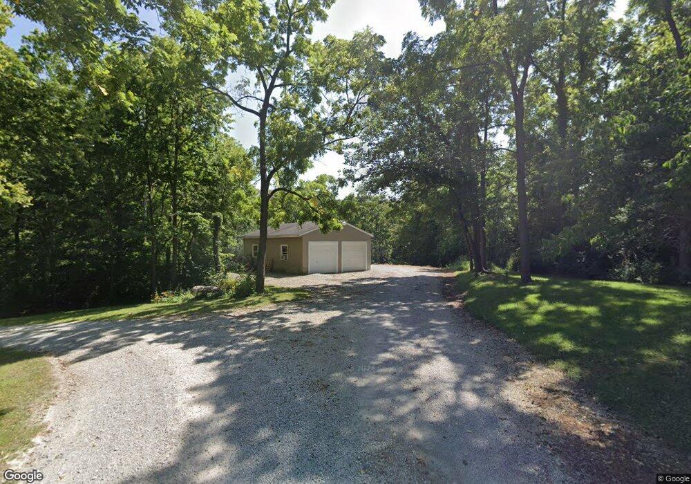
606 State Line Dr New Paris, OH 45347
Estimated Value: $316,000 - $431,261
4
Beds
3
Baths
2,760
Sq Ft
$136/Sq Ft
Est. Value
About This Home
This home is located at 606 State Line Dr, New Paris, OH 45347 and is currently estimated at $375,815, approximately $136 per square foot. 606 State Line Dr is a home located in Preble County with nearby schools including National Trail Elementary School, National Trail Middle School, and National Trail High School.
Ownership History
Date
Name
Owned For
Owner Type
Purchase Details
Closed on
Feb 19, 2013
Sold by
Kuck Klayton A
Bought by
Denlinger Marcus Z
Current Estimated Value
Home Financials for this Owner
Home Financials are based on the most recent Mortgage that was taken out on this home.
Original Mortgage
$100,000
Outstanding Balance
$69,808
Interest Rate
3.38%
Mortgage Type
Future Advance Clause Open End Mortgage
Estimated Equity
$306,007
Purchase Details
Closed on
Nov 13, 2002
Sold by
Varney Robert
Bought by
Presson David H and Presson Mary
Home Financials for this Owner
Home Financials are based on the most recent Mortgage that was taken out on this home.
Original Mortgage
$155,200
Interest Rate
6.1%
Mortgage Type
New Conventional
Create a Home Valuation Report for This Property
The Home Valuation Report is an in-depth analysis detailing your home's value as well as a comparison with similar homes in the area
Home Values in the Area
Average Home Value in this Area
Purchase History
| Date | Buyer | Sale Price | Title Company |
|---|---|---|---|
| Denlinger Marcus Z | $165,000 | None Available | |
| Presson David H | $194,000 | -- |
Source: Public Records
Mortgage History
| Date | Status | Borrower | Loan Amount |
|---|---|---|---|
| Open | Denlinger Marcus Z | $100,000 | |
| Previous Owner | Presson David H | $155,200 |
Source: Public Records
Tax History Compared to Growth
Tax History
| Year | Tax Paid | Tax Assessment Tax Assessment Total Assessment is a certain percentage of the fair market value that is determined by local assessors to be the total taxable value of land and additions on the property. | Land | Improvement |
|---|---|---|---|---|
| 2024 | $3,506 | $108,330 | $11,100 | $97,230 |
| 2023 | $3,506 | $108,330 | $11,100 | $97,230 |
| 2022 | $2,721 | $76,450 | $10,260 | $66,190 |
| 2021 | $2,885 | $76,450 | $10,260 | $66,190 |
| 2020 | $2,686 | $76,450 | $10,260 | $66,190 |
| 2019 | $2,341 | $68,430 | $8,750 | $59,680 |
| 2018 | $2,435 | $68,430 | $8,750 | $59,680 |
| 2017 | $2,209 | $68,430 | $8,750 | $59,680 |
| 2016 | $1,883 | $57,230 | $8,510 | $48,720 |
| 2014 | $1,859 | $57,230 | $8,510 | $48,720 |
| 2013 | $2,389 | $69,370 | $8,505 | $60,865 |
Source: Public Records
Map
Nearby Homes
- 6100 Hodgin Rd Unit LotWP002
- 6100 Hodgin Rd
- 0 Industrial Pkwy Unit 10048533
- 0 Industrial Pkwy Unit 202406115
- 0 Hodgin Rd Unit LotWP003 23959386
- 0 Hodgin Rd
- 10263 Cr 335
- 10051 State Route 320
- 61000 Hodgin Rd
- 5.71A Greenmount Pike
- 3907 Woodside Dr
- 4280 S C St
- 0000 Woodside Dr
- 4056 Quail Hill Dr
- 4024 Backmeyer Rd
- 1100 Kingston Ct
- 1111 Archdale Dr
- 4741 Wolverton Rd
- 3715 Sandbridge Dr
- 8.5+/- ACRES S 37th Street & Backmeyer Rd
- 582 State Line Dr
- 540 State Line Dr
- 415 W Eaton Pike
- 512 State Line Dr
- 4985 Meadowcrest Ln
- 4972 Meadowcrest Ln
- 4995 Meadowcrest Ln
- 4897 Meadowcrest Ln
- 4821 Meadowcrest Ln
- Lot 5 Meadowcrest Ln
- 4733 Meadowcrest Ln
- 0 Meadowcrest Ln Unit 766390
- 0 Meadowcrest Ln Unit 706367
- 0 Meadowcrest Ln Unit 10027683
- 0 Meadowcrest Ln Unit 10033604
- 0 Meadowcrest Ln Unit 10038985
- 0 Meadowcrest Ln Unit 820236
- 4954 Meadowcrest Ln
- 4745 Meadowcrest Ln
- 4948 Meadowcrest Ln