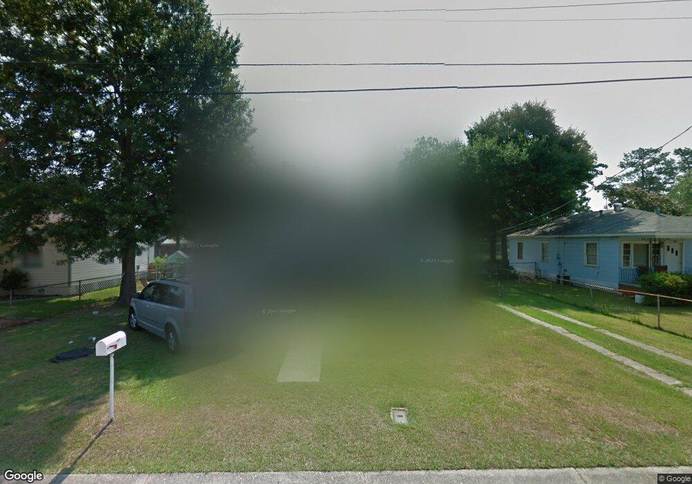
606 Townsend Cir Mobile, AL 36611
Estimated Value: $75,566 - $115,000
3
Beds
1
Bath
1,141
Sq Ft
$83/Sq Ft
Est. Value
About This Home
This home is located at 606 Townsend Cir, Mobile, AL 36611 and is currently estimated at $94,142, approximately $82 per square foot. 606 Townsend Cir is a home located in Mobile County with nearby schools including Chickasaw City Elementary School, Chickasaw City High School, and Prichard Preparatory School.
Ownership History
Date
Name
Owned For
Owner Type
Purchase Details
Closed on
Jul 22, 2020
Sold by
Crawford Joseph B
Bought by
Ofield Duane
Current Estimated Value
Purchase Details
Closed on
Nov 30, 2005
Sold by
Mankin Linda W
Bought by
Crawford Joseph B
Home Financials for this Owner
Home Financials are based on the most recent Mortgage that was taken out on this home.
Original Mortgage
$70,085
Interest Rate
6.04%
Mortgage Type
FHA
Purchase Details
Closed on
Mar 10, 1998
Sold by
Chrean Lilly Winona
Bought by
Pridgen Ronald D
Create a Home Valuation Report for This Property
The Home Valuation Report is an in-depth analysis detailing your home's value as well as a comparison with similar homes in the area
Home Values in the Area
Average Home Value in this Area
Purchase History
| Date | Buyer | Sale Price | Title Company |
|---|---|---|---|
| Ofield Duane | $7,000 | None Available | |
| Crawford Joseph B | $71,585 | -- | |
| Pridgen Ronald D | -- | -- |
Source: Public Records
Mortgage History
| Date | Status | Borrower | Loan Amount |
|---|---|---|---|
| Previous Owner | Crawford Joseph B | $70,085 |
Source: Public Records
Tax History
| Year | Tax Paid | Tax Assessment Tax Assessment Total Assessment is a certain percentage of the fair market value that is determined by local assessors to be the total taxable value of land and additions on the property. | Land | Improvement |
|---|---|---|---|---|
| 2025 | $627 | $11,180 | $3,000 | $8,180 |
| 2024 | $627 | $10,220 | $2,600 | $7,620 |
| 2023 | $496 | $9,280 | $2,640 | $6,640 |
| 2022 | $465 | $8,700 | $2,400 | $6,300 |
| 2021 | $447 | $8,360 | $2,400 | $5,960 |
| 2020 | $457 | $8,540 | $2,580 | $5,960 |
| 2019 | $467 | $8,720 | $2,980 | $5,740 |
| 2018 | $467 | $8,720 | $0 | $0 |
| 2017 | $462 | $8,720 | $0 | $0 |
| 2016 | $470 | $8,860 | $0 | $0 |
| 2013 | $340 | $15,200 | $0 | $0 |
Source: Public Records
Map
Nearby Homes
- 608 Townsend Cir
- 604 Townsend Cir
- 602 Townsend Cir
- 650 Townsend Cir
- 652 Townsend Cir
- 603 Townsend Cir
- 600 Townsend Cir
- 2 Edinborough Ave
- 3 Edinborough Ave
- 654 Townsend Cir
- 601 Townsend Cir
- 4 Edinborough Ave
- 653 Townsend Cir
- 258 W Lee St
- 206 W Lee St
- 200 W Lee St
- 5 Edinborough Ave
- 656 Townsend Cir
- 6 Edinborough Ave
- 260 W Lee St
Your Personal Tour Guide
Ask me questions while you tour the home.