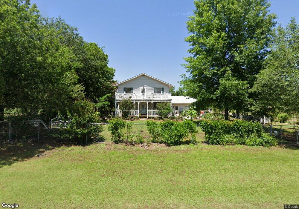
606 W Airport Rd Stillwater, OK 74075
Estimated Value: $229,000 - $263,875
3
Beds
2
Baths
2,315
Sq Ft
$104/Sq Ft
Est. Value
About This Home
This home is located at 606 W Airport Rd, Stillwater, OK 74075 and is currently estimated at $241,719, approximately $104 per square foot. 606 W Airport Rd is a home located in Payne County with nearby schools including Richmond Elementary School, Stillwater Junior High School, and Stillwater Middle School.
Ownership History
Date
Name
Owned For
Owner Type
Purchase Details
Closed on
Apr 17, 2019
Sold by
Harms Janette Marie and Johnson Kris
Bought by
Harper Janet M
Current Estimated Value
Home Financials for this Owner
Home Financials are based on the most recent Mortgage that was taken out on this home.
Original Mortgage
$124,000
Outstanding Balance
$109,238
Interest Rate
4.4%
Mortgage Type
New Conventional
Estimated Equity
$132,481
Purchase Details
Closed on
Apr 7, 2017
Sold by
Harms Byron Timothy
Bought by
Harms Janette Marie
Create a Home Valuation Report for This Property
The Home Valuation Report is an in-depth analysis detailing your home's value as well as a comparison with similar homes in the area
Home Values in the Area
Average Home Value in this Area
Purchase History
| Date | Buyer | Sale Price | Title Company |
|---|---|---|---|
| Harper Janet M | $155,000 | American Eagle Title Ins Co | |
| Harms Janette Marie | -- | None Available |
Source: Public Records
Mortgage History
| Date | Status | Borrower | Loan Amount |
|---|---|---|---|
| Open | Harper Janet M | $124,000 |
Source: Public Records
Tax History Compared to Growth
Tax History
| Year | Tax Paid | Tax Assessment Tax Assessment Total Assessment is a certain percentage of the fair market value that is determined by local assessors to be the total taxable value of land and additions on the property. | Land | Improvement |
|---|---|---|---|---|
| 2024 | $1,988 | $19,554 | $3,636 | $15,918 |
| 2023 | $1,988 | $18,623 | $3,869 | $14,754 |
| 2022 | $1,795 | $17,736 | $3,912 | $13,824 |
| 2021 | $1,579 | $15,916 | $3,990 | $11,926 |
| 2020 | $1,781 | $17,960 | $3,990 | $13,970 |
| 2019 | $1,183 | $11,670 | $2,508 | $9,162 |
| 2018 | $1,023 | $11,113 | $2,388 | $8,725 |
| 2017 | $1,090 | $10,790 | $3,990 | $6,800 |
| 2016 | $1,010 | $10,790 | $3,990 | $6,800 |
| 2015 | $1,024 | $10,790 | $3,990 | $6,800 |
| 2014 | $1,033 | $10,790 | $3,990 | $6,800 |
Source: Public Records
Map
Nearby Homes
- 724 W Lakeshore Dr
- 823 Ranch Ave
- 0000 N Washington St
- 1199 W Airport Rd
- 3135 N Madison Ct
- 4409 N Greenvale Cir
- 4417 N Greenvale Cir
- 104 E Rogers Ct
- 108 E Rogers Ct
- 2718 N Crescent Dr
- 315 E Thomas Ave
- 4700 N Washington St
- 4703 N Washington St
- 4803 N Rogers Dr
- 4816 N Rogers Dr
- 4810 N Rogers Dr
- 2502 N Glenwood Dr
- 2420 N Glenwood Dr
- 535 Greenbriar Ct
- 4628 N Rogers Dr
- 17900 Bronco
- 601 W Arapaho Ave
- 603 W Arapaho Ave
- 0 W Airport Rd
- 708 W Airport Rd
- 611 W Arapaho Ave
- 623 W Arapaho Ave
- 714 W Airport Rd
- 602 W Arapaho Ave
- 701 W Arapaho Ave
- 612 W Arapaho Ave
- 722 W Airport Rd
- 711 W Arapaho Ave
- 601 W Cheyenne Dr
- 609 W Cheyenne Dr
- 702 W Arapaho Ave
- 615 W Cheyenne Dr
- 723 W Arapaho Ave
- 619 W Cheyenne Ave
- 619 W Cheyenne Dr