Estimated Value: $263,264 - $298,000
2
Beds
2
Baths
2,240
Sq Ft
$122/Sq Ft
Est. Value
About This Home
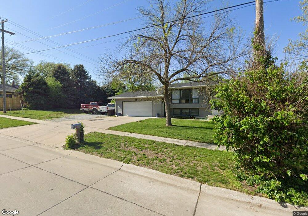
This home is located at 606 W Elm St, York, NE 68467 and is currently estimated at $273,316, approximately $122 per square foot. 606 W Elm St is a home located in York County with nearby schools including York Elementary School, York Middle School, and York High School.
Ownership History
Date
Name
Owned For
Owner Type
Purchase Details
Closed on
Jun 26, 2008
Sold by
Andrew T Rathbun Wikoff and Andrew T Rathbun Brande L
Bought by
Schow Michael and Schow Michelle
Current Estimated Value
Purchase Details
Closed on
Jun 4, 2008
Sold by
Wikoff Brande L and Rathbun Andrew T
Bought by
Schow Michael and Schow Michelle
Purchase Details
Closed on
Sep 28, 2007
Sold by
Bettger Scott A
Bought by
Andrew T Rathbun Wikoff and Andrew T Rathbun Brande~L
Purchase Details
Closed on
Sep 27, 2007
Sold by
Bettger Scott A
Bought by
Wikoff Brande L and Rathbun Andrew T
Purchase Details
Closed on
Aug 15, 2003
Sold by
Pfenning William W and Pfenning Carolee
Bought by
Bettger Scott A
Create a Home Valuation Report for This Property
The Home Valuation Report is an in-depth analysis detailing your home's value as well as a comparison with similar homes in the area
Home Values in the Area
Average Home Value in this Area
Purchase History
| Date | Buyer | Sale Price | Title Company |
|---|---|---|---|
| Schow Michael | $140,000 | -- | |
| Schow Michael | -- | York County Title | |
| Andrew T Rathbun Wikoff | $136,000 | -- | |
| Wikoff Brande L | -- | Community Title | |
| Bettger Scott A | $116,000 | -- |
Source: Public Records
Tax History Compared to Growth
Tax History
| Year | Tax Paid | Tax Assessment Tax Assessment Total Assessment is a certain percentage of the fair market value that is determined by local assessors to be the total taxable value of land and additions on the property. | Land | Improvement |
|---|---|---|---|---|
| 2024 | $2,500 | $148,753 | $25,350 | $123,403 |
| 2023 | $2,644 | $148,753 | $25,350 | $123,403 |
| 2022 | $2,617 | $148,753 | $25,350 | $123,403 |
| 2021 | $2,611 | $146,333 | $25,350 | $120,983 |
| 2020 | $2,551 | $146,333 | $25,350 | $120,983 |
| 2019 | $2,491 | $142,992 | $25,350 | $117,642 |
| 2018 | $2,414 | $142,992 | $25,350 | $117,642 |
| 2017 | $2,258 | $140,993 | $24,735 | $116,258 |
| 2016 | $2,302 | $140,993 | $24,735 | $116,258 |
| 2015 | $2,272 | $140,993 | $24,735 | $116,258 |
| 2014 | $2,317 | $140,993 | $24,735 | $116,258 |
Source: Public Records
Map
Nearby Homes
- 927 S Hutchins Ave
- 115 S York Ave
- 717 Nicholas Cir
- 907 W Nobes Rd
- 915 W Nobes Rd
- 819 S Country Club Ave
- 900 Saint Andrews Ct
- 652 W 5th St
- 215 N Burlington Ave
- 707 N Beaver Ave
- 320 E 4th St
- 120 N Iowa Ave
- 418 E 5th St
- 309 N East Ave
- 800 W 9th St
- 320 N East Ave
- 921 N Beaver Ave
- 423 E 6th St
- 612 E 4th St
- 618 E 4th St
- 712 Kingsley Ave
- 727 S Cowan Ave
- 719 S Cowan Ave
- 609 W Walnut St
- 804 Kingsley Ave
- 804 S Kingsley Ave
- 729 S Kingsley Ave
- 711 Kingsley Ave
- 729 Kingsley Ave
- 621 W Walnut St
- 603 W Walnut St
- 803 S Kingsley Ave
- 803 Kingsley Ave
- 803 S Cowan Ave
- 703 S Cowan Ave
- 703 Kingsley Ave
- 813 S Kingsley Ave
- 811 S Cowan Ave
- 816 Kingsley Ave
- 813 Kingsley Ave