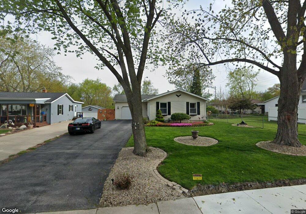
606 W Porter St Crown Point, IN 46307
Estimated Value: $257,520 - $302,000
3
Beds
1
Bath
1,114
Sq Ft
$247/Sq Ft
Est. Value
About This Home
This home is located at 606 W Porter St, Crown Point, IN 46307 and is currently estimated at $274,880, approximately $246 per square foot. 606 W Porter St is a home located in Lake County with nearby schools including Timothy Ball Elementary School, Robert Taft Middle School, and Crown Point High School.
Ownership History
Date
Name
Owned For
Owner Type
Purchase Details
Closed on
Apr 27, 2011
Sold by
Shaver Tina M
Bought by
Shaver Kevin W and Shaver Tina M
Current Estimated Value
Home Financials for this Owner
Home Financials are based on the most recent Mortgage that was taken out on this home.
Original Mortgage
$108,750
Outstanding Balance
$6,702
Interest Rate
4.88%
Mortgage Type
New Conventional
Estimated Equity
$268,178
Purchase Details
Closed on
Jan 5, 2007
Sold by
Shaver Kevin W
Bought by
Shaver Tina M
Create a Home Valuation Report for This Property
The Home Valuation Report is an in-depth analysis detailing your home's value as well as a comparison with similar homes in the area
Home Values in the Area
Average Home Value in this Area
Purchase History
| Date | Buyer | Sale Price | Title Company |
|---|---|---|---|
| Shaver Kevin W | -- | Meridian Title Corp | |
| Shaver Tina M | -- | None Available |
Source: Public Records
Mortgage History
| Date | Status | Borrower | Loan Amount |
|---|---|---|---|
| Open | Shaver Kevin W | $108,750 |
Source: Public Records
Tax History Compared to Growth
Tax History
| Year | Tax Paid | Tax Assessment Tax Assessment Total Assessment is a certain percentage of the fair market value that is determined by local assessors to be the total taxable value of land and additions on the property. | Land | Improvement |
|---|---|---|---|---|
| 2024 | $5,664 | $227,500 | $36,600 | $190,900 |
| 2023 | $2,211 | $206,100 | $36,600 | $169,500 |
| 2022 | $2,152 | $195,700 | $36,600 | $159,100 |
| 2021 | $2,107 | $191,800 | $30,500 | $161,300 |
| 2020 | $2,018 | $183,900 | $30,500 | $153,400 |
| 2019 | $1,998 | $178,200 | $30,500 | $147,700 |
| 2018 | $2,085 | $172,500 | $30,500 | $142,000 |
| 2017 | $2,038 | $168,200 | $30,500 | $137,700 |
| 2016 | $1,944 | $160,600 | $30,500 | $130,100 |
| 2014 | $1,664 | $152,400 | $30,500 | $121,900 |
| 2013 | $1,647 | $150,100 | $30,500 | $119,600 |
Source: Public Records
Map
Nearby Homes
- 301 Hoffman St
- 621 Pratt St
- 306 Holton Ridge
- 512 W Joliet St
- 221 N West St
- 511 N West St
- 312 Summit Park Ct S
- 114 S Chase Dr
- 767 Kenmare Pkwy
- 771 Kenmare Pkwy
- 0 W Joliet St
- 808 N West St
- 1 Walnut Pkwy
- 290 S Chase Dr
- 7830 W 106th Ln
- 7770 W 106th Ln
- 138 N Grant St
- 3725 W 105th Ave
- 222 Maple St
- 629 W South St