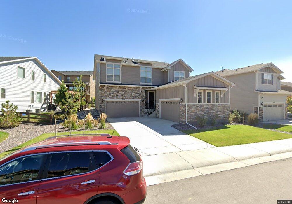
6060 E 143rd Dr Thornton, CO 80602
Estimated Value: $777,255 - $823,000
3
Beds
4
Baths
2,843
Sq Ft
$280/Sq Ft
Est. Value
About This Home
This home is located at 6060 E 143rd Dr, Thornton, CO 80602 and is currently estimated at $796,064, approximately $280 per square foot. 6060 E 143rd Dr is a home located in Adams County with nearby schools including West Ridge Elementary School, Rodger Quist Middle School, and Riverdale Ridge High School.
Ownership History
Date
Name
Owned For
Owner Type
Purchase Details
Closed on
Sep 30, 2021
Sold by
Toll Soutwest Llc
Bought by
Dunn Justin M and Dunn Ashley M
Current Estimated Value
Home Financials for this Owner
Home Financials are based on the most recent Mortgage that was taken out on this home.
Original Mortgage
$548,300
Outstanding Balance
$495,638
Interest Rate
2.8%
Mortgage Type
New Conventional
Estimated Equity
$300,426
Create a Home Valuation Report for This Property
The Home Valuation Report is an in-depth analysis detailing your home's value as well as a comparison with similar homes in the area
Purchase History
| Date | Buyer | Sale Price | Title Company |
|---|---|---|---|
| Dunn Justin M | $789,995 | None Available |
Source: Public Records
Mortgage History
| Date | Status | Borrower | Loan Amount |
|---|---|---|---|
| Open | Dunn Justin M | $548,300 |
Source: Public Records
Tax History
| Year | Tax Paid | Tax Assessment Tax Assessment Total Assessment is a certain percentage of the fair market value that is determined by local assessors to be the total taxable value of land and additions on the property. | Land | Improvement |
|---|---|---|---|---|
| 2025 | $8,198 | $52,970 | $8,840 | $44,130 |
| 2024 | $8,198 | $48,690 | $8,130 | $40,560 |
| 2023 | $7,990 | $52,090 | $7,780 | $44,310 |
| 2022 | $6,031 | $36,680 | $7,990 | $28,690 |
| 2021 | $3,625 | $36,680 | $7,990 | $28,690 |
| 2020 | $2,971 | $18,320 | $18,320 | $0 |
| 2019 | $2,884 | $18,320 | $18,320 | $0 |
| 2018 | $44 | $280 | $280 | $0 |
| 2017 | $41 | $280 | $280 | $0 |
Source: Public Records
Map
Nearby Homes
- 6129 E 143rd Ave
- 6322 E 142nd Place
- 14240 Ivanhoe St
- 14450 Hudson St
- 14067 Hudson St
- 14513 Hudson Way
- 14741 Hudson Way
- 14593 Hudson Way
- 14523 Hudson Way
- 14533 Hudson Way
- 14573 Hudson St
- 14553 Hudson Way
- 14572 Hudson Way
- 13905 Ivy St
- 14437 Grape St
- 5261 E 143rd Dr
- 13871 Ivy St
- 5382 E 140th Place
- 5323 E 140th Place
- 13814 Lilac St
- 6046 E 143rd Dr
- 6124 E 143rd Dr
- 14233 Kearney Loop
- 14233 Kearney St
- 6022 E 143rd Dr
- 6160 E 143rd Dr
- 6063 E 143rd Dr
- 6083 E 143rd Dr
- 14223 Kearney Loop
- 6043 E 143rd Dr
- 14253 Kearney Loop
- 6182 E 143rd Dr
- 6023 E 143rd Dr
- 6147 E 143rd Dr
- 5980 E 143rd Dr
- 14213 Kearney Loop
- 5987 E 143rd Dr
- 6167 E 143rd Dr
- 6167 E 143rd Ave
- 14243 Kearney Loop
Your Personal Tour Guide
Ask me questions while you tour the home.