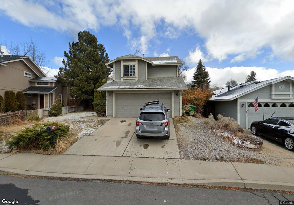
6061 Bankside Way Reno, NV 89523
Mae Anne Avenue NeighborhoodEstimated Value: $522,000 - $546,000
3
Beds
3
Baths
1,464
Sq Ft
$363/Sq Ft
Est. Value
About This Home
This home is located at 6061 Bankside Way, Reno, NV 89523 and is currently estimated at $531,047, approximately $362 per square foot. 6061 Bankside Way is a home located in Washoe County with nearby schools including Sarah Winnemucca Elementary School, B D Billinghurst Middle School, and Robert McQueen High School.
Ownership History
Date
Name
Owned For
Owner Type
Purchase Details
Closed on
Jul 30, 2002
Sold by
Gonda Mark B and Gonda Susan
Bought by
Tambelini Richard P and Tambelini Dale R
Current Estimated Value
Purchase Details
Closed on
Sep 7, 1999
Sold by
Gonda John A and Gonda Joanne B
Bought by
Gonda Mark B and Gonda Susan
Home Financials for this Owner
Home Financials are based on the most recent Mortgage that was taken out on this home.
Original Mortgage
$126,892
Interest Rate
7.66%
Mortgage Type
FHA
Create a Home Valuation Report for This Property
The Home Valuation Report is an in-depth analysis detailing your home's value as well as a comparison with similar homes in the area
Home Values in the Area
Average Home Value in this Area
Purchase History
| Date | Buyer | Sale Price | Title Company |
|---|---|---|---|
| Tambelini Richard P | $167,000 | Western Title Inc | |
| Gonda Mark B | -- | Western Title Inc |
Source: Public Records
Mortgage History
| Date | Status | Borrower | Loan Amount |
|---|---|---|---|
| Previous Owner | Gonda Mark B | $126,892 |
Source: Public Records
Tax History Compared to Growth
Tax History
| Year | Tax Paid | Tax Assessment Tax Assessment Total Assessment is a certain percentage of the fair market value that is determined by local assessors to be the total taxable value of land and additions on the property. | Land | Improvement |
|---|---|---|---|---|
| 2025 | $2,236 | $76,584 | $39,340 | $37,244 |
| 2024 | $2,236 | $73,727 | $35,595 | $38,132 |
| 2023 | $2,072 | $74,097 | $37,520 | $36,577 |
| 2022 | $1,920 | $62,465 | $31,605 | $30,860 |
| 2021 | $1,835 | $52,812 | $21,735 | $31,077 |
| 2020 | $1,725 | $52,390 | $20,895 | $31,495 |
| 2019 | $1,676 | $51,479 | $20,755 | $30,724 |
| 2018 | $1,599 | $45,488 | $15,085 | $30,403 |
| 2017 | $1,535 | $44,806 | $14,070 | $30,736 |
| 2016 | $1,496 | $44,342 | $12,670 | $31,672 |
| 2015 | $379 | $42,984 | $11,095 | $31,889 |
| 2014 | $1,450 | $41,236 | $9,975 | $31,261 |
| 2013 | -- | $38,270 | $7,245 | $31,025 |
Source: Public Records
Map
Nearby Homes
- 6087 White Water Way
- 6357 Moon Ridge Terrace
- 5870 Blue Horizon Dr
- 5895 Blue Horizon Dr
- 5830 Blue Horizon Dr
- 1500 Backer Way
- 1031 Ambassador Dr
- 6339 Park Place
- 6440 Enchanted Valley Dr
- 5878 Grand Row Way
- 5882 Grand Row Way Unit Lot 61
- 6338 Chesterfield Ln
- 1621 Icelandic Way
- 1621 Icelandic Way Unit Lot 2
- 1659 Shadow Park Dr
- 1618 Icelandic Way Unit Lot 67
- 1618 Icelandic Way
- 1625 Icelandic Way
- 1627 Prancer St Unit Lot 50
- 1627 Prancer St
- 6051 Bankside Way
- 6075 Bankside Way
- 1245 Dry Falls Cir
- 1265 Dry Falls Cir
- 6085 Bankside Way
- 6062 Bankside Way
- 6072 Bankside Way
- 6052 Bankside Way
- 1226 Canyon Creek Rd
- 1216 Canyon Creek Rd
- 6091 Bankside Way
- 6082 Bankside Way
- 1236 Canyon Creek Rd
- 6042 Bankside Way
- 1206 Canyon Creek Rd
- 1275 Dry Falls Cir
- 1246 Canyon Creek Rd
- 6092 Bankside Way
- 6032 Bankside Way
- 1200 Canyon Creek Rd