6061 Hartwick Dr Lansing, MI 48906
Estimated Value: $292,506 - $342,000
--
Bed
3
Baths
1,547
Sq Ft
$208/Sq Ft
Est. Value
About This Home
This home is located at 6061 Hartwick Dr, Lansing, MI 48906 and is currently estimated at $321,627, approximately $207 per square foot. 6061 Hartwick Dr is a home located in Clinton County with nearby schools including Wacousta Elementary School, Leon W. Hayes Middle School, and Grand Ledge High School.
Ownership History
Date
Name
Owned For
Owner Type
Purchase Details
Closed on
Feb 24, 2021
Sold by
Bennett Mark B and Bennett Beth Ann
Bought by
Bennett Mark B and Moore Beth Ann
Current Estimated Value
Purchase Details
Closed on
May 4, 2004
Sold by
Auge Larry L and Auge Debra J
Bought by
Bennett Mark B
Home Financials for this Owner
Home Financials are based on the most recent Mortgage that was taken out on this home.
Original Mortgage
$80,000
Outstanding Balance
$35,839
Interest Rate
4.87%
Mortgage Type
Purchase Money Mortgage
Estimated Equity
$285,788
Create a Home Valuation Report for This Property
The Home Valuation Report is an in-depth analysis detailing your home's value as well as a comparison with similar homes in the area
Home Values in the Area
Average Home Value in this Area
Purchase History
| Date | Buyer | Sale Price | Title Company |
|---|---|---|---|
| Bennett Mark B | -- | None Available | |
| Bennett Mark B | -- | None Available | |
| Bennett Mark B | $206,000 | -- |
Source: Public Records
Mortgage History
| Date | Status | Borrower | Loan Amount |
|---|---|---|---|
| Open | Bennett Mark B | $80,000 |
Source: Public Records
Tax History Compared to Growth
Tax History
| Year | Tax Paid | Tax Assessment Tax Assessment Total Assessment is a certain percentage of the fair market value that is determined by local assessors to be the total taxable value of land and additions on the property. | Land | Improvement |
|---|---|---|---|---|
| 2025 | $3,640 | $138,050 | $25,600 | $112,450 |
| 2024 | $1,220 | $129,500 | $23,300 | $106,200 |
| 2023 | $1,155 | $118,200 | $0 | $0 |
| 2022 | $3,216 | $107,750 | $18,450 | $89,300 |
| 2021 | $3,117 | $104,700 | $18,500 | $86,200 |
| 2020 | $2,898 | $100,400 | $17,450 | $82,950 |
| 2019 | $2,791 | $93,800 | $16,450 | $77,350 |
| 2018 | $2,575 | $95,750 | $15,550 | $80,200 |
| 2017 | $2,529 | $96,200 | $15,400 | $80,800 |
| 2016 | $2,529 | $92,750 | $14,550 | $78,200 |
| 2015 | $2,564 | $84,000 | $0 | $0 |
| 2011 | -- | $86,000 | $0 | $0 |
Source: Public Records
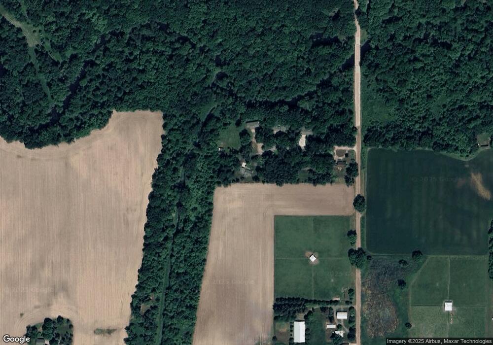
Map
Nearby Homes
- 6157 W Stoll Rd
- 7895 W Herbison Rd
- 00 Driftwood Dr
- 0 Driftwood Dr
- 15240 Nottingham Fields Pkwy
- 15080 Loxley Ln Unit 21
- 15250 Nottingham Fields Pkwy
- 15260 Nottingham Fields Pkwy
- 15332 Sherwood Ln
- 15292 Sherwood Ln
- 15347 Sherwood Ln
- 15312 Sherwood Ln
- 15277 Sherwood Ln
- 15317 Sherwood Ln
- 12733 Ospreys Way
- 12684 Airport Rd
- 4270 Calipso Ct
- 11433 S Francis Rd
- V/L N Grove
- 15895 Turnberry St
- 6090 Hartwick Dr
- 6080 Hartwick Dr
- 6057 Hartwick Dr
- 6060 Hartwick Dr
- 6049 Hartwick Dr
- 13600 Lowell Rd
- 13960 S Lowell Rd
- 13460 Lowell Rd
- 6300 W Clark Rd
- 13488 Lowell Rd
- 14001 S Lowell Rd
- 6275 W Clark Rd
- 5991 W Clark Rd
- 5885 W Clark Rd
- 5820 W Clark Rd
- 13435 Lowell Rd
- 14009 S Lowell Rd
- 5800 W Clark Rd
- 5780 W Clark Rd
- 5770 W Clark Rd