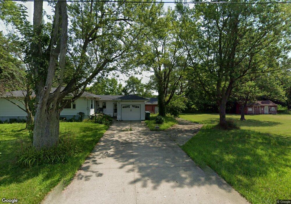
60610 Fir Rd Mishawaka, IN 46544
Estimated Value: $325,000 - $411,000
3
Beds
2
Baths
2,404
Sq Ft
$156/Sq Ft
Est. Value
About This Home
This home is located at 60610 Fir Rd, Mishawaka, IN 46544 and is currently estimated at $375,922, approximately $156 per square foot. 60610 Fir Rd is a home located in St. Joseph County with nearby schools including J.C. Hoglan Elementary School, Madison Elementary School, and Virgil I. Grissom Middle School.
Ownership History
Date
Name
Owned For
Owner Type
Purchase Details
Closed on
May 23, 2024
Sold by
Montgomery Robert E
Bought by
Pascarella Allison A
Current Estimated Value
Purchase Details
Closed on
Apr 16, 2024
Sold by
Montgomery Robert E
Bought by
Pascarella Allison A
Purchase Details
Closed on
Jul 11, 2014
Sold by
Simons Julia Anne
Bought by
Montgomery Robert E and Pascarella Allison A
Home Financials for this Owner
Home Financials are based on the most recent Mortgage that was taken out on this home.
Original Mortgage
$174,000
Interest Rate
4.2%
Mortgage Type
New Conventional
Create a Home Valuation Report for This Property
The Home Valuation Report is an in-depth analysis detailing your home's value as well as a comparison with similar homes in the area
Home Values in the Area
Average Home Value in this Area
Purchase History
| Date | Buyer | Sale Price | Title Company |
|---|---|---|---|
| Pascarella Allison A | -- | None Listed On Document | |
| Pascarella Allison A | -- | None Listed On Document | |
| Montgomery Robert E | -- | Metropolitan Title |
Source: Public Records
Mortgage History
| Date | Status | Borrower | Loan Amount |
|---|---|---|---|
| Previous Owner | Montgomery Robert E | $174,000 |
Source: Public Records
Tax History Compared to Growth
Tax History
| Year | Tax Paid | Tax Assessment Tax Assessment Total Assessment is a certain percentage of the fair market value that is determined by local assessors to be the total taxable value of land and additions on the property. | Land | Improvement |
|---|---|---|---|---|
| 2024 | $2,782 | $264,100 | $53,300 | $210,800 |
| 2023 | $2,753 | $275,200 | $53,300 | $221,900 |
| 2022 | $2,753 | $259,000 | $53,300 | $205,700 |
| 2021 | $2,391 | $211,300 | $27,000 | $184,300 |
| 2020 | $2,453 | $218,100 | $27,000 | $191,100 |
| 2019 | $2,479 | $218,100 | $27,000 | $191,100 |
| 2018 | $2,394 | $219,700 | $27,000 | $192,700 |
| 2017 | $2,060 | $189,300 | $23,700 | $165,600 |
| 2016 | $2,088 | $189,700 | $23,700 | $166,000 |
| 2014 | $1,743 | $155,100 | $20,600 | $134,500 |
| 2013 | $3,018 | $201,500 | $69,800 | $131,700 |
Source: Public Records
Map
Nearby Homes
- Lot 681A Stoneham Dr Unit 681A
- Lot 682A Stoneham Dr Unit 682A
- 16170 Jackson Rd
- Integrity 1810 Plan at Autumn Ridge
- 3307 Falling Oak Dr
- 3409 Falling Oak Dr
- 3717 Bremen Hwy
- 3729 Bremen Hwy
- 3126 Falling Oak Dr
- 3204 Falling Oak Dr
- 3024 Falling Oak Dr
- 14334 Dragoon Trail
- 16305 Ronnies Dr
- 13550 Dragoon Trail
- 1622 Gauley River Dr
- 16470 Petro Dr
- 16382 Petro Dr
- 929 Deepwood Dr
- 731 Steeplechase Dr
- 745 E 18th St