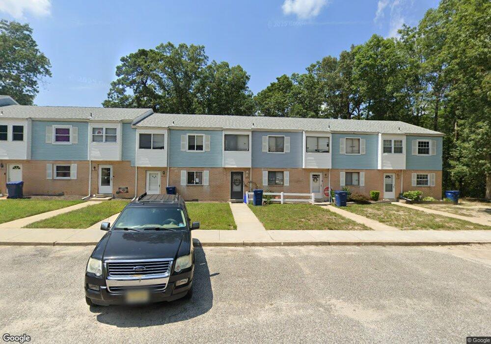
6066 Hoover Dr Mays Landing, NJ 08330
Estimated Value: $135,296 - $164,000
--
Bed
--
Bath
1,292
Sq Ft
$118/Sq Ft
Est. Value
About This Home
This home is located at 6066 Hoover Dr, Mays Landing, NJ 08330 and is currently estimated at $152,824, approximately $118 per square foot. 6066 Hoover Dr is a home located in Atlantic County with nearby schools including Joseph Shaner School, George L. Hess Educational Complex, and William Davies Middle School.
Ownership History
Date
Name
Owned For
Owner Type
Purchase Details
Closed on
Jul 27, 1998
Sold by
Cooper Edward X and Cooper Barbara Ann
Bought by
Bailey Lawrence and Bailey Estella
Current Estimated Value
Home Financials for this Owner
Home Financials are based on the most recent Mortgage that was taken out on this home.
Original Mortgage
$47,700
Outstanding Balance
$9,951
Interest Rate
6.92%
Estimated Equity
$142,873
Create a Home Valuation Report for This Property
The Home Valuation Report is an in-depth analysis detailing your home's value as well as a comparison with similar homes in the area
Home Values in the Area
Average Home Value in this Area
Purchase History
| Date | Buyer | Sale Price | Title Company |
|---|---|---|---|
| Bailey Lawrence | $53,000 | The Title Company |
Source: Public Records
Mortgage History
| Date | Status | Borrower | Loan Amount |
|---|---|---|---|
| Open | Bailey Lawrence | $47,700 |
Source: Public Records
Tax History Compared to Growth
Tax History
| Year | Tax Paid | Tax Assessment Tax Assessment Total Assessment is a certain percentage of the fair market value that is determined by local assessors to be the total taxable value of land and additions on the property. | Land | Improvement |
|---|---|---|---|---|
| 2025 | $1,451 | $63,200 | $20,000 | $43,200 |
| 2024 | $1,451 | $42,300 | $4,500 | $37,800 |
| 2023 | $1,365 | $42,300 | $4,500 | $37,800 |
| 2022 | $1,365 | $42,300 | $4,500 | $37,800 |
| 2021 | $1,140 | $35,400 | $3,000 | $32,400 |
| 2020 | $1,140 | $35,400 | $3,000 | $32,400 |
| 2019 | $1,142 | $35,400 | $3,000 | $32,400 |
| 2018 | $1,102 | $35,400 | $3,000 | $32,400 |
| 2017 | $1,085 | $35,400 | $3,000 | $32,400 |
| 2016 | $1,195 | $40,100 | $5,000 | $35,100 |
| 2015 | $1,154 | $40,100 | $5,000 | $35,100 |
| 2014 | $1,458 | $55,500 | $5,000 | $50,500 |
Source: Public Records
Map
Nearby Homes
- 6310 Phillips Ave
- 6301 Knight Ave
- 37 Delancy Ct
- 6314 Lance Ave
- 6202 Lance Ave
- 87 Devon Rd
- 0 Harding Hwy Unit 597638
- 0 Harding Hwy Unit NJAC2019438
- 6206 Roberts Ave
- 6140 Robin Dr
- 16 Holly Ct
- 24 Holly Ct
- 0 Wheeling Ave Unit NJAC2018470
- 13 Hickory Ln
- 11 Maple Ct
- 1 Walnut Ct
- 9 Oaks Dr Unit 341
- 6126 Longwood Ave
- 14 Hickory Ln
- 10 Locust Ct
- 6067 Hoover Dr
- 6065 Hoover Dr Unit 605
- 6065 Hoover Dr Unit 6E
- 6068 Hoover Dr Unit 6H
- 6064 Hoover Dr
- 6063 Hoover Dr Unit 8
- 6062 Hoover Dr Unit 6062
- 6062 Hoover Dr
- 6062 Hoover Dr
- 6061 Hoover Dr
- 6078 Hoover Dr Unit 7H
- 6053 Hoover Dr
- 6054 Hoover Dr
- 6055 Hoover Dr Unit 5E
- 6052 Hoover Dr
- 6077 Hoover Dr
- 6051 Hoover Dr Unit 5A
- 6056 Hoover Dr
- 6057 Hoover Dr
- 6076 Hoover Dr