6067 Thomas St Davison, MI 48423
Estimated Value: $177,000 - $221,000
2
Beds
1
Bath
1,264
Sq Ft
$154/Sq Ft
Est. Value
About This Home
This home is located at 6067 Thomas St, Davison, MI 48423 and is currently estimated at $195,201, approximately $154 per square foot. 6067 Thomas St is a home located in Genesee County with nearby schools including Thomson Elementary School, Siple Elementary School, and Hill Elementary School.
Ownership History
Date
Name
Owned For
Owner Type
Purchase Details
Closed on
Sep 27, 2007
Sold by
Enott Sharon L
Bought by
Grierson Dennis P
Current Estimated Value
Purchase Details
Closed on
Mar 27, 2006
Sold by
Fannie Mae
Bought by
Enott Sharon L
Purchase Details
Closed on
Jun 28, 2005
Sold by
Countrywide Home Loans Inc
Bought by
Federal National Mortgage Association
Purchase Details
Closed on
May 18, 2005
Sold by
Frey Christina M and Lennox Christina M
Bought by
Countrywide Home Loans Inc
Create a Home Valuation Report for This Property
The Home Valuation Report is an in-depth analysis detailing your home's value as well as a comparison with similar homes in the area
Home Values in the Area
Average Home Value in this Area
Purchase History
| Date | Buyer | Sale Price | Title Company |
|---|---|---|---|
| Grierson Dennis P | $106,000 | Guaranty Title Company | |
| Enott Sharon L | $65,000 | Guaranty Title Company | |
| Federal National Mortgage Association | -- | -- | |
| Countrywide Home Loans Inc | $101,042 | -- |
Source: Public Records
Tax History
| Year | Tax Paid | Tax Assessment Tax Assessment Total Assessment is a certain percentage of the fair market value that is determined by local assessors to be the total taxable value of land and additions on the property. | Land | Improvement |
|---|---|---|---|---|
| 2025 | $1,627 | $65,100 | $0 | $0 |
| 2024 | $393 | $62,900 | $0 | $0 |
| 2023 | $375 | $60,900 | $0 | $0 |
| 2022 | $1,357 | $56,500 | $0 | $0 |
| 2021 | $1,347 | $47,800 | $0 | $0 |
| 2020 | $343 | $46,200 | $0 | $0 |
| 2019 | $337 | $39,500 | $0 | $0 |
| 2018 | $856 | $35,000 | $0 | $0 |
| 2017 | $1,123 | $35,000 | $0 | $0 |
| 2016 | $1,149 | $34,200 | $0 | $0 |
| 2015 | $806 | $31,800 | $0 | $0 |
| 2014 | $311 | $27,400 | $0 | $0 |
| 2012 | -- | $26,000 | $26,000 | $0 |
Source: Public Records
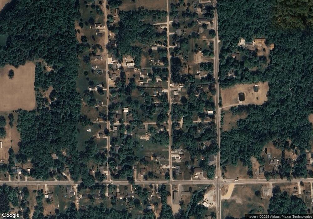
Map
Nearby Homes
- 1240 N Irish Rd
- 5165 N Irish Rd
- 5177 N Irish Rd
- 6152 N Gale Rd
- 9110 E Coldwater Rd
- 6363 Bluejay Dr
- 9377 Hubbard Rd
- 9465 Hubbard Rd
- 4120 Spring Hue Ln
- 5412 E Stanley Rd
- 4063 N Gale Rd
- 8054 N Gale Rd
- 6161 Finch Ln
- 329 Hidden Pine Rd
- 312 Black Oak Ct
- 254 Green Valley Rd
- 3485 N Vassar Rd
- 18 Timber Ct
- 6478 Oxbow Ln
- 6443 Richfield Rd
- 6071 Thomas St
- 7460 Russell St
- 6051 Thomas St
- 6079 Thomas St
- 7447 Russell St
- 7450 Russell St
- 6050 Thomas St
- 6089 Thomas St
- 6058 Thomas St
- 6080 Thomas St
- 6033 Thomas St
- 6060 Rich St
- 6076 Thomas St
- 6054 Rich St
- 6040 Rich St
- 6099 Thomas St
- 6023 Thomas St
- 6030 Rich St
- 6082 Thomas St Unit Bldg-Unit
- 6082 Thomas St
Your Personal Tour Guide
Ask me questions while you tour the home.