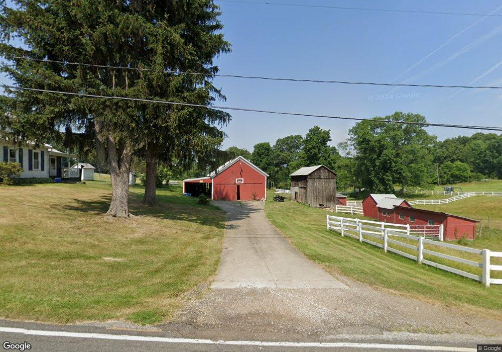
6068 Grove Rd Clinton, OH 44216
Estimated Value: $182,500
3
Beds
1
Bath
1,344
Sq Ft
$136/Sq Ft
Est. Value
About This Home
This home is located at 6068 Grove Rd, Clinton, OH 44216 and is currently priced at $182,500, approximately $135 per square foot. 6068 Grove Rd is a home located in Summit County with nearby schools including Northwest Primary School, W.S. Stinson Elementary School, and Northwest Middle School.
Ownership History
Date
Name
Owned For
Owner Type
Purchase Details
Closed on
Sep 28, 2021
Sold by
Burnett Proctor R and Burnett Karen L
Bought by
Downing Lindsay Nicole
Current Estimated Value
Home Financials for this Owner
Home Financials are based on the most recent Mortgage that was taken out on this home.
Original Mortgage
$129,600
Outstanding Balance
$118,183
Interest Rate
2.8%
Mortgage Type
New Conventional
Purchase Details
Closed on
Mar 31, 2021
Sold by
Burnett Proctor B and Burnett Karen L
Bought by
Burnett Proctor B and Burnett Karen L
Purchase Details
Closed on
Jul 5, 2017
Sold by
Burnett Proctor R
Bought by
Burnett Proctor R and Burnett Karen L
Create a Home Valuation Report for This Property
The Home Valuation Report is an in-depth analysis detailing your home's value as well as a comparison with similar homes in the area
Home Values in the Area
Average Home Value in this Area
Purchase History
| Date | Buyer | Sale Price | Title Company |
|---|---|---|---|
| Downing Lindsay Nicole | $162,000 | First Security Title Corp | |
| Burnett Proctor B | -- | None Available | |
| Burnett Proctor R | -- | None Available | |
| Burnett Proctor R | -- | None Available | |
| Burnett Proctor R | -- | C&J Title Box |
Source: Public Records
Mortgage History
| Date | Status | Borrower | Loan Amount |
|---|---|---|---|
| Open | Downing Lindsay Nicole | $129,600 |
Source: Public Records
Tax History
| Year | Tax Paid | Tax Assessment Tax Assessment Total Assessment is a certain percentage of the fair market value that is determined by local assessors to be the total taxable value of land and additions on the property. | Land | Improvement |
|---|---|---|---|---|
| 2020 | $2,332 | $64,450 | $29,110 | $35,340 |
| 2019 | $2,347 | $45,530 | $29,110 | $16,420 |
| 2018 | $2,331 | $45,530 | $29,110 | $16,420 |
| 2017 | $2,362 | $45,530 | $29,110 | $16,420 |
| 2016 | $2,362 | $42,760 | $29,110 | $13,650 |
| 2015 | $2,362 | $42,760 | $29,110 | $13,650 |
| 2014 | $2,466 | $42,760 | $29,110 | $13,650 |
| 2013 | $2,488 | $43,170 | $29,110 | $14,060 |
Source: Public Records
Map
Nearby Homes
- 5429 Grove Rd
- 6775 Grove Rd
- 6090 Manchester Rd Unit 6096
- 781 Leeman Dr
- 6235 Manchester Rd
- 1365 Vanderhoof Rd
- 1420 Trails End Dr
- 715 Highland Park Dr
- 2672 Lyman Dr
- 692 Zeletta Dr
- 4698 Manchester Rd
- 6300 S Cleveland Massillon Rd
- 2761 North St
- 2543 Shadow Ln
- 8177 S Cleveland Massillon Rd Unit 16
- 2457 Bishop Oval
- 427 Catalina Dr
- 2682 Himelrigh Blvd
- 6407 Southview Dr
- 5042 Laddie Dr
Your Personal Tour Guide
Ask me questions while you tour the home.