607 Confederate Dr Locust Grove, VA 22508
Estimated Value: $394,000 - $424,000
3
Beds
2
Baths
2,481
Sq Ft
$165/Sq Ft
Est. Value
About This Home
This home is located at 607 Confederate Dr, Locust Grove, VA 22508 and is currently estimated at $408,420, approximately $164 per square foot. 607 Confederate Dr is a home located in Orange County with nearby schools including Locust Grove Primary School, Locust Grove Elementary School, and Locust Grove Middle School.
Ownership History
Date
Name
Owned For
Owner Type
Purchase Details
Closed on
Nov 30, 2006
Sold by
Voit Patrick A
Bought by
Courtright Richard W and Courtright Betty Lynn
Current Estimated Value
Home Financials for this Owner
Home Financials are based on the most recent Mortgage that was taken out on this home.
Original Mortgage
$228,000
Outstanding Balance
$134,921
Interest Rate
6.31%
Mortgage Type
New Conventional
Estimated Equity
$273,499
Create a Home Valuation Report for This Property
The Home Valuation Report is an in-depth analysis detailing your home's value as well as a comparison with similar homes in the area
Home Values in the Area
Average Home Value in this Area
Purchase History
| Date | Buyer | Sale Price | Title Company |
|---|---|---|---|
| Courtright Richard W | $285,000 | None Available |
Source: Public Records
Mortgage History
| Date | Status | Borrower | Loan Amount |
|---|---|---|---|
| Open | Courtright Richard W | $228,000 |
Source: Public Records
Tax History Compared to Growth
Tax History
| Year | Tax Paid | Tax Assessment Tax Assessment Total Assessment is a certain percentage of the fair market value that is determined by local assessors to be the total taxable value of land and additions on the property. | Land | Improvement |
|---|---|---|---|---|
| 2025 | $1,779 | $233,800 | $30,000 | $203,800 |
| 2024 | $1,779 | $233,800 | $30,000 | $203,800 |
| 2023 | $1,779 | $233,800 | $30,000 | $203,800 |
| 2022 | $1,779 | $233,800 | $30,000 | $203,800 |
| 2021 | $1,708 | $237,200 | $30,000 | $207,200 |
| 2020 | $1,708 | $237,200 | $30,000 | $207,200 |
| 2019 | $1,641 | $204,100 | $30,000 | $174,100 |
| 2018 | $1,641 | $204,100 | $30,000 | $174,100 |
| 2017 | $1,641 | $204,100 | $30,000 | $174,100 |
| 2016 | $1,641 | $204,100 | $30,000 | $174,100 |
| 2015 | -- | $195,900 | $30,000 | $165,900 |
| 2014 | -- | $195,900 | $30,000 | $165,900 |
Source: Public Records
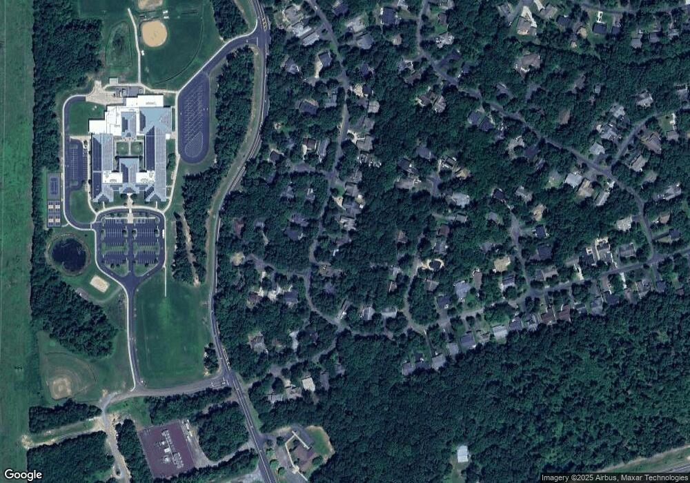
Map
Nearby Homes
- 111 Butler Cir
- 104 Butler Cir
- 112 Butler Cir
- 109 Aspen Ct
- 203 Battlefield Rd
- 537 Monticello Cir
- 108 Confederate Cir
- 518 Monticello Cir
- 2606 Lakeview Pkwy
- 118 Confederate Cir
- 502 Monticello Cir
- 102 Monroe St
- 0 Gold Dale Rd Unit VAOR2012618
- 604 Stratford Cir
- 308 Harrison Cir
- 101 Monticello Cir
- 135 Monticello Cir
- 3114 Lakeview Pkwy
- 405 Harrison Cir
- 323 Stratford Cir
- 609 Confederate Dr
- 605 Confederate Dr
- 687 Confederate Dr
- 611 Confederate Dr
- 603 Confederate Dr
- 606 Confederate Dr
- 806 Confederate Dr
- 604 Confederate Dr
- 601 Confederate Dr
- 701 Confederate Dr
- 107 Butler Cir
- 109 Butler Cir
- 105 Butler Cir
- 101 Forest Ct
- 100 Cedar Ct
- 703 Confederate Dr
- 103 Butler Cir
- 113 Butler Cir
- 101 Cedar Ct
- 101 Butler Cir