607 Currahee Ridge Rd Toccoa, GA 30577
Estimated Value: $727,000 - $902,000
5
Beds
3
Baths
3,262
Sq Ft
$244/Sq Ft
Est. Value
About This Home
This home is located at 607 Currahee Ridge Rd, Toccoa, GA 30577 and is currently estimated at $795,285, approximately $243 per square foot. 607 Currahee Ridge Rd is a home located in Stephens County with nearby schools including Stephens County High School.
Ownership History
Date
Name
Owned For
Owner Type
Purchase Details
Closed on
Sep 25, 2020
Sold by
Digieso Joseph V
Bought by
Smith Ted William and Norton Jill Walker
Current Estimated Value
Home Financials for this Owner
Home Financials are based on the most recent Mortgage that was taken out on this home.
Original Mortgage
$372,800
Outstanding Balance
$329,329
Interest Rate
2.9%
Mortgage Type
New Conventional
Estimated Equity
$465,956
Purchase Details
Closed on
Jun 28, 2010
Sold by
Turner James B
Bought by
Digieso Joseph V
Purchase Details
Closed on
Oct 26, 1999
Bought by
Turner James B and Turner Brenda C
Purchase Details
Closed on
Jun 1, 1995
Bought by
<Buyer Info Not Present>
Purchase Details
Closed on
Mar 1, 1986
Bought by
<Buyer Info Not Present>
Create a Home Valuation Report for This Property
The Home Valuation Report is an in-depth analysis detailing your home's value as well as a comparison with similar homes in the area
Home Values in the Area
Average Home Value in this Area
Purchase History
| Date | Buyer | Sale Price | Title Company |
|---|---|---|---|
| Smith Ted William | $467,800 | -- | |
| Digieso Joseph V | $350,000 | -- | |
| Turner James B | $225,000 | -- | |
| <Buyer Info Not Present> | $195,000 | -- | |
| <Buyer Info Not Present> | $10,500 | -- |
Source: Public Records
Mortgage History
| Date | Status | Borrower | Loan Amount |
|---|---|---|---|
| Open | Smith Ted William | $372,800 |
Source: Public Records
Tax History Compared to Growth
Tax History
| Year | Tax Paid | Tax Assessment Tax Assessment Total Assessment is a certain percentage of the fair market value that is determined by local assessors to be the total taxable value of land and additions on the property. | Land | Improvement |
|---|---|---|---|---|
| 2025 | $6,976 | $254,118 | $45,930 | $208,188 |
| 2024 | $5,511 | $180,987 | $45,930 | $135,057 |
| 2023 | $5,098 | $171,250 | $45,930 | $125,320 |
| 2022 | $4,872 | $163,668 | $45,930 | $117,738 |
| 2021 | $4,813 | $153,918 | $45,240 | $108,678 |
| 2020 | $4,184 | $132,500 | $45,240 | $87,260 |
| 2019 | $4,202 | $132,500 | $45,240 | $87,260 |
| 2017 | $4,271 | $132,610 | $45,240 | $87,370 |
| 2016 | $4,205 | $132,609 | $45,240 | $87,369 |
| 2015 | $4,398 | $132,424 | $45,240 | $87,184 |
| 2014 | $4,543 | $134,568 | $45,240 | $89,328 |
| 2013 | -- | $135,880 | $45,240 | $90,640 |
Source: Public Records
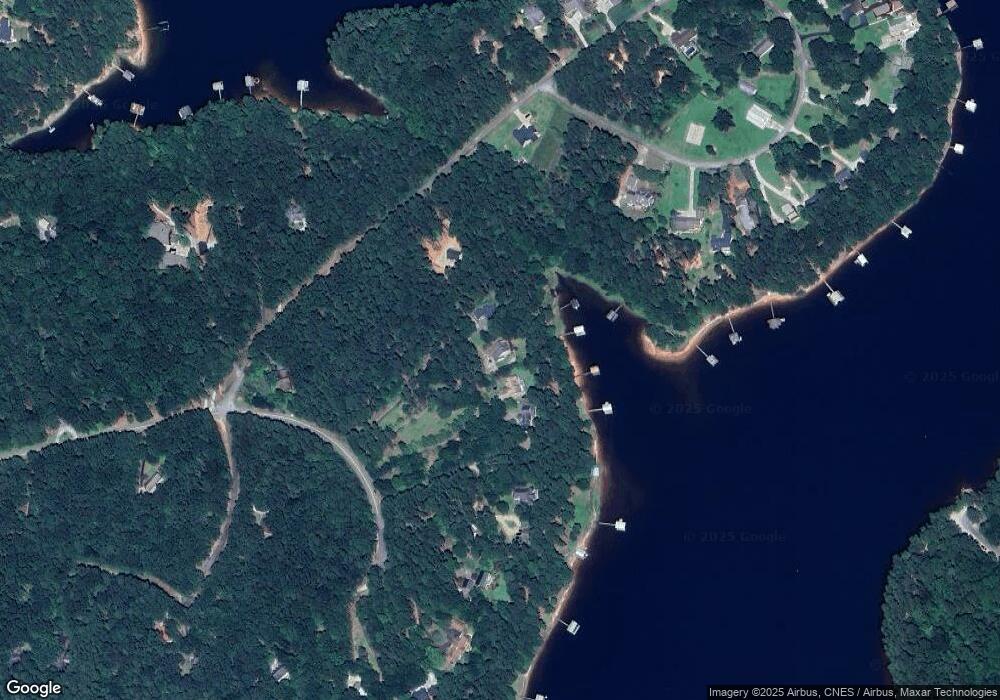
Map
Nearby Homes
- 49 Currahee Point
- 287 Spring Branch Cir
- 455 Chase Landing Rd
- 604 Mckinney Way
- 173 Laura Dr
- 245 Currahee Place
- 88 Currahee Place
- 347 River Trail
- 0 Oliver Rd Unit 20284767
- 0 Oliver Rd Unit 1550308
- Lot 34 Stillwater Place
- 3 Lost Forest Dr
- 679 Suttles Rd
- 02 Wood Valley Dr
- Lot 6 Lost Forest Dr
- 9B Lost Forest Dr
- 0 Lost Forest Dr
- 223 Brookside Dr
- 004 Brookside Dr Unit 10A
- Lot 9 Block A Brookside Dr
- 65 Penn Dr
- 587 Currahee Ridge Rd
- 105 Penn Dr
- 71 Coastline Dr
- 647 Currahee Ridge Rd
- 154 Currahee Point
- 118 Currahee Point
- 18A Currahee Point Unit Circle East
- 172 Currahee Point
- 651 Currahee Point
- 621 Currahee Point
- 669 Currahee Point
- 28 Currahee Point
- 451 Currahee Ridge
- 451 Currahee Ridge Unit RG
- 28 Currahee Point
- 28 Currahee Point
- 28 Currahee Point
- 112 Currahee Point
- 0 Currahee Point Unit LOT 9 2841734