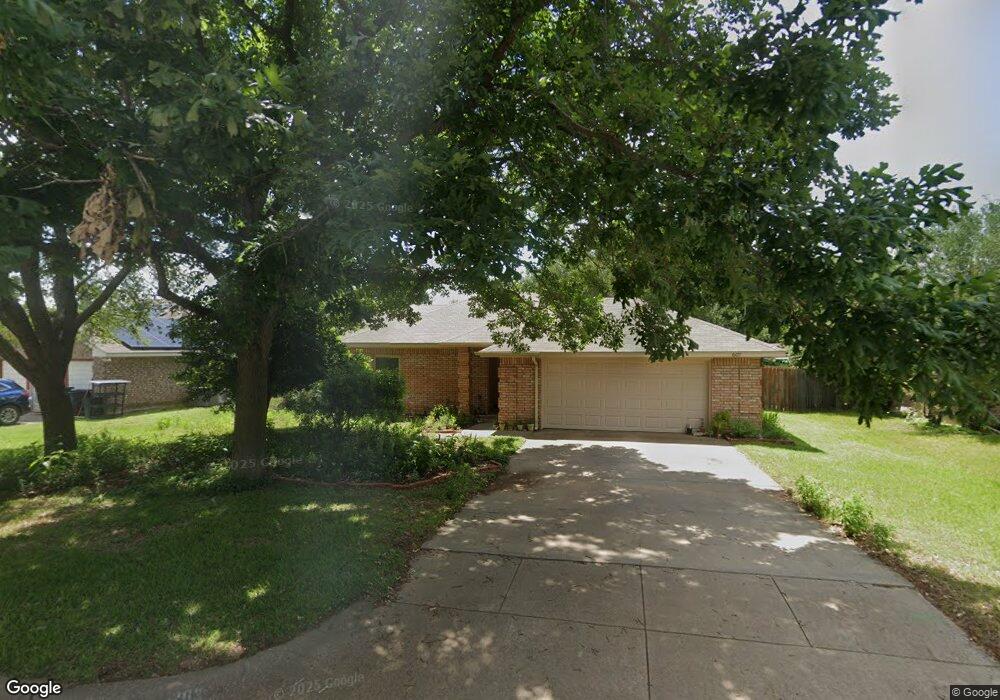
607 Dakota Dr Joshua, TX 76058
Estimated Value: $239,939 - $266,000
3
Beds
2
Baths
1,252
Sq Ft
$204/Sq Ft
Est. Value
About This Home
This home is located at 607 Dakota Dr, Joshua, TX 76058 and is currently estimated at $255,485, approximately $204 per square foot. 607 Dakota Dr is a home located in Johnson County with nearby schools including A.G. Elder Elementary School, Joshua High School, and Joshua High School - 9th Grade Campus.
Ownership History
Date
Name
Owned For
Owner Type
Purchase Details
Closed on
Sep 14, 2006
Sold by
Secretary Of Housing & Urban Development
Bought by
Higgins Dagmar K
Current Estimated Value
Home Financials for this Owner
Home Financials are based on the most recent Mortgage that was taken out on this home.
Original Mortgage
$87,400
Outstanding Balance
$52,401
Interest Rate
6.64%
Mortgage Type
New Conventional
Estimated Equity
$203,084
Create a Home Valuation Report for This Property
The Home Valuation Report is an in-depth analysis detailing your home's value as well as a comparison with similar homes in the area
Home Values in the Area
Average Home Value in this Area
Purchase History
| Date | Buyer | Sale Price | Title Company |
|---|---|---|---|
| Higgins Dagmar K | -- | Fatco |
Source: Public Records
Mortgage History
| Date | Status | Borrower | Loan Amount |
|---|---|---|---|
| Open | Higgins Dagmar K | $87,400 |
Source: Public Records
Tax History Compared to Growth
Tax History
| Year | Tax Paid | Tax Assessment Tax Assessment Total Assessment is a certain percentage of the fair market value that is determined by local assessors to be the total taxable value of land and additions on the property. | Land | Improvement |
|---|---|---|---|---|
| 2025 | $932 | $205,600 | $25,000 | $180,600 |
| 2024 | $3,416 | $140,361 | $0 | $0 |
| 2023 | $2,840 | $141,163 | $25,000 | $116,163 |
| 2022 | $2,911 | $141,163 | $25,000 | $116,163 |
| 2021 | $2,670 | $141,163 | $25,000 | $116,163 |
| 2020 | $2,625 | $95,868 | $25,000 | $70,868 |
| 2019 | $2,837 | $98,628 | $25,000 | $73,628 |
| 2018 | $2,916 | $98,628 | $25,000 | $73,628 |
| 2017 | $2,914 | $98,628 | $25,000 | $73,628 |
| 2016 | $2,785 | $94,230 | $15,000 | $79,230 |
| 2015 | $1,883 | $94,230 | $15,000 | $79,230 |
| 2014 | $1,883 | $94,230 | $15,000 | $79,230 |
Source: Public Records
Map
Nearby Homes
- 520 Palo Duro Dr
- 414 Dakota Dr
- 312 Comanche Walk
- 304 Comanche Walk
- 527 Lone Star St
- 608 W Sheila Cir
- 613 W Sheila Cir
- 108 Sally St
- 628 E Sheila Cir
- 629 E Sheila Cir
- 200 Wayside St
- 205 Greenhill Dr
- 107 E 10th St
- 209 E 8th St
- 102 Carlock St
- 401 Eddy Ave
- 307 Gregory St
- 601 Eddy Ave
- 500 N Main St
- 408 Eddy Ave
- 605 Dakota Dr
- 609 Dakota Dr
- 603 Dakota Dr
- 102 Catie Ln
- 104 Catie Ln
- 100 Catie Ln
- 606 Dakota Dr
- 604 Dakota Dr
- 608 Dakota Dr
- 106 Catie Ln
- 501 Alta Vista St
- 602 Dakota Dr
- 218 Lone Star St
- 216 Lone Star St
- 500 Palo Duro Dr
- 214 Lone Star St
- 502 Lone Star St
- 500 Alta Vista St
- 505 Alta Vista St
- 504 Palo Duro Dr