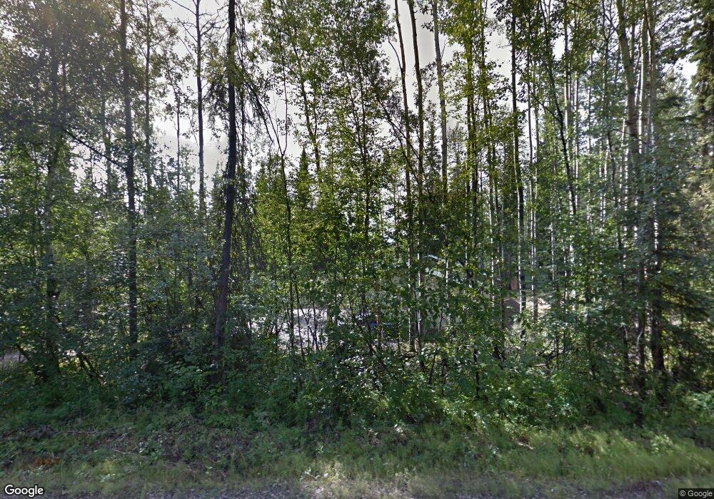
607 Hardrock Rd Fairbanks, AK 99712
Steele Creek NeighborhoodEstimated Value: $238,000 - $359,000
--
Bed
2
Baths
1,192
Sq Ft
$254/Sq Ft
Est. Value
About This Home
This home is located at 607 Hardrock Rd, Fairbanks, AK 99712 and is currently estimated at $302,783, approximately $254 per square foot. 607 Hardrock Rd is a home located in Fairbanks North Star Borough with nearby schools including Weller Elementary School, Tanana Middle School, and Lathrop High School.
Ownership History
Date
Name
Owned For
Owner Type
Purchase Details
Closed on
May 23, 2008
Sold by
Fagan Chris M
Bought by
Mayo Alicia S
Current Estimated Value
Home Financials for this Owner
Home Financials are based on the most recent Mortgage that was taken out on this home.
Original Mortgage
$20,250
Interest Rate
5.88%
Purchase Details
Closed on
Sep 2, 2003
Sold by
Michel John R and Estate Of Gregory E Grove
Bought by
Morisette Bill and Larson Vance J
Create a Home Valuation Report for This Property
The Home Valuation Report is an in-depth analysis detailing your home's value as well as a comparison with similar homes in the area
Home Values in the Area
Average Home Value in this Area
Purchase History
| Date | Buyer | Sale Price | Title Company |
|---|---|---|---|
| Mayo Alicia S | -- | Fairbanks Title Agency Inc | |
| Morisette Bill | -- | -- |
Source: Public Records
Mortgage History
| Date | Status | Borrower | Loan Amount |
|---|---|---|---|
| Closed | Mayo Alicia S | $20,250 |
Source: Public Records
Tax History Compared to Growth
Tax History
| Year | Tax Paid | Tax Assessment Tax Assessment Total Assessment is a certain percentage of the fair market value that is determined by local assessors to be the total taxable value of land and additions on the property. | Land | Improvement |
|---|---|---|---|---|
| 2025 | $4,679 | $298,352 | $36,038 | $262,314 |
| 2024 | $4,619 | $296,445 | $36,038 | $260,407 |
| 2023 | $4,546 | $296,500 | $36,038 | $260,462 |
| 2022 | $4,520 | $271,382 | $36,038 | $235,344 |
| 2021 | $4,251 | $238,845 | $36,038 | $202,807 |
| 2020 | $3,456 | $198,430 | $24,464 | $173,966 |
| 2019 | $3,396 | $196,710 | $24,464 | $172,246 |
| 2018 | $3,149 | $194,430 | $24,464 | $169,966 |
| 2017 | $3,380 | $192,824 | $24,464 | $168,360 |
| 2016 | $3,230 | $188,761 | $24,464 | $164,297 |
| 2015 | $3,072 | $184,697 | $24,464 | $160,233 |
| 2014 | $3,072 | $184,752 | $24,464 | $160,288 |
Source: Public Records
Map
Nearby Homes
- NHN Gold Mine Trail
- 565 Prospectors Trail
- 675 Grubstake Rd
- 693 Gold Vein Rd
- 652 Goldstreak Rd
- NHN Lot 3 Grubstake Rd
- 764 Grubstake Rd
- 309 Bullion Dr
- L7 B6 High Grade Way
- 1339 Westwick Dr
- NHN Westwick Dr
- 1335 Maya Ln
- 1210 Gilmore Trail
- 925 Derek Dr
- 1382 Gilmore Trail
- NHN Jade St
- 1212 Little Fox Trail
- NHN Sourdough St
- 1359 Great View Ln
- 1211 Broadview Dr
- 595 Hardrock Rd
- 616 Hardrock Rd
- 616 Gold Vein Rd
- 629 Gold Vein Rd
- 605 Gold Mine Trail
- 585 Gold Mine Trail
- 611 Gold Vein Rd
- 613 Gold Mine Trail
- 651 Gold Vein Rd
- 586 Bullion Dr
- L7 Gold Mine Trail
- L6 B12 Gold Mine Trail
- 654 Gold Vein Rd
- 636 Hardrock Rd
- 630 Bullion Dr
- 590 Gold Mine Trail
- 567 Gold Mine Trail
- 642 Bullion Dr
- 625 Gold Mine Trail
- 621 Bullion Dr
