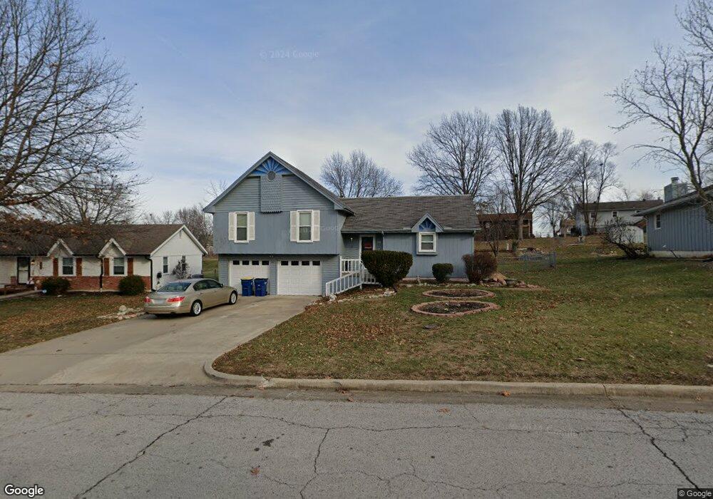
607 Lodwick Ln Excelsior Springs, MO 64024
Estimated Value: $260,000 - $291,000
3
Beds
2
Baths
1,316
Sq Ft
$209/Sq Ft
Est. Value
About This Home
This home is located at 607 Lodwick Ln, Excelsior Springs, MO 64024 and is currently estimated at $275,120, approximately $209 per square foot. 607 Lodwick Ln is a home located in Clay County with nearby schools including Excelsior Springs High School.
Ownership History
Date
Name
Owned For
Owner Type
Purchase Details
Closed on
Jun 29, 2023
Sold by
Walker-Alexander Marcia and Alexander Clauis
Bought by
Walker-Alexander Marcia and Alexander Clauis
Current Estimated Value
Purchase Details
Closed on
Oct 7, 2009
Sold by
Walker Alexander Marcia S and Alexander Clauis
Bought by
Walker Alexander Marcia S and Alexander Clauis
Home Financials for this Owner
Home Financials are based on the most recent Mortgage that was taken out on this home.
Original Mortgage
$91,850
Interest Rate
5.1%
Mortgage Type
New Conventional
Purchase Details
Closed on
Aug 17, 1998
Sold by
Redhair Henry Gray
Bought by
Walker Marcia S
Create a Home Valuation Report for This Property
The Home Valuation Report is an in-depth analysis detailing your home's value as well as a comparison with similar homes in the area
Home Values in the Area
Average Home Value in this Area
Purchase History
| Date | Buyer | Sale Price | Title Company |
|---|---|---|---|
| Walker-Alexander Marcia | -- | None Listed On Document | |
| Walker Alexander Marcia S | -- | Platinum Title Llc | |
| Walker Marcia S | -- | -- |
Source: Public Records
Mortgage History
| Date | Status | Borrower | Loan Amount |
|---|---|---|---|
| Previous Owner | Walker Alexander Marcia S | $91,850 |
Source: Public Records
Tax History Compared to Growth
Tax History
| Year | Tax Paid | Tax Assessment Tax Assessment Total Assessment is a certain percentage of the fair market value that is determined by local assessors to be the total taxable value of land and additions on the property. | Land | Improvement |
|---|---|---|---|---|
| 2025 | $2,213 | $35,210 | -- | -- |
| 2024 | $2,213 | $31,560 | -- | -- |
| 2023 | $2,200 | $31,560 | $0 | $0 |
| 2022 | $1,943 | $27,420 | $0 | $0 |
| 2021 | $1,950 | $27,417 | $3,800 | $23,617 |
| 2020 | $1,660 | $22,690 | $0 | $0 |
| 2019 | $1,659 | $22,690 | $0 | $0 |
| 2018 | $1,523 | $20,770 | $0 | $0 |
| 2017 | $1,486 | $20,770 | $3,420 | $17,350 |
| 2016 | $1,486 | $20,770 | $3,420 | $17,350 |
| 2015 | $1,499 | $20,770 | $3,420 | $17,350 |
| 2014 | $1,455 | $19,970 | $3,420 | $16,550 |
Source: Public Records
Map
Nearby Homes
- 617 Lodwick Ln
- 609 Kimberly Dr
- Lot 2 Wornall Rd
- 2017 Wornall Rd
- 2017 Karlton Way
- 106 Sunset Ln
- 206 Crest Dr
- 2116 Bradford Place
- 2081 Rock Bridge Pkwy
- 125 Crown Hill Rd
- 240 Rock Bridge Pkwy
- 220 Rock Bridge Pkwy
- 1318 Kristie Cir
- 2021 Riverstone Dr
- 112 Delores St
- 1104 Frontier St
- 328 Virginia Rd
- 1101 Williams St
- 100 Sherri Ln
- 941 N Jesse James Rd