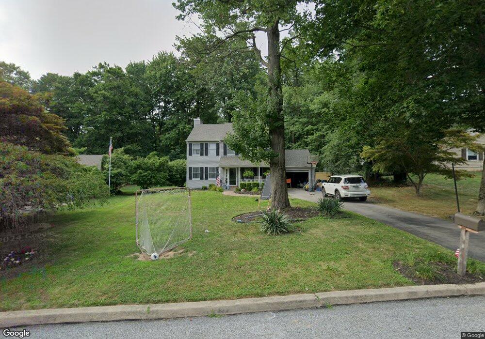
607 Lorient Dr West Chester, PA 19382
Estimated Value: $605,000 - $678,000
4
Beds
3
Baths
1,878
Sq Ft
$340/Sq Ft
Est. Value
About This Home
This home is located at 607 Lorient Dr, West Chester, PA 19382 and is currently estimated at $637,986, approximately $339 per square foot. 607 Lorient Dr is a home located in Chester County with nearby schools including Westtown-Thornbury Elementary School, Stetson Middle School, and Bayard Rustin High School.
Ownership History
Date
Name
Owned For
Owner Type
Purchase Details
Closed on
Jun 19, 1998
Sold by
Whittington D Scott and Whittington Nancy
Bought by
Maslanka Francis C and Maslanka Jennifer L
Current Estimated Value
Home Financials for this Owner
Home Financials are based on the most recent Mortgage that was taken out on this home.
Original Mortgage
$190,950
Interest Rate
7.09%
Create a Home Valuation Report for This Property
The Home Valuation Report is an in-depth analysis detailing your home's value as well as a comparison with similar homes in the area
Home Values in the Area
Average Home Value in this Area
Purchase History
| Date | Buyer | Sale Price | Title Company |
|---|---|---|---|
| Maslanka Francis C | $201,000 | Fidelity National Title |
Source: Public Records
Mortgage History
| Date | Status | Borrower | Loan Amount |
|---|---|---|---|
| Previous Owner | Maslanka Francis C | $190,950 |
Source: Public Records
Tax History Compared to Growth
Tax History
| Year | Tax Paid | Tax Assessment Tax Assessment Total Assessment is a certain percentage of the fair market value that is determined by local assessors to be the total taxable value of land and additions on the property. | Land | Improvement |
|---|---|---|---|---|
| 2025 | $5,085 | $175,410 | $48,350 | $127,060 |
| 2024 | $5,085 | $175,410 | $48,350 | $127,060 |
| 2023 | $5,085 | $175,410 | $48,350 | $127,060 |
| 2022 | $5,019 | $175,410 | $48,350 | $127,060 |
| 2021 | $4,949 | $175,410 | $48,350 | $127,060 |
| 2020 | $4,917 | $175,410 | $48,350 | $127,060 |
| 2019 | $4,849 | $175,410 | $48,350 | $127,060 |
| 2018 | $4,745 | $175,410 | $48,350 | $127,060 |
| 2017 | $4,643 | $175,410 | $48,350 | $127,060 |
| 2016 | $3,916 | $175,410 | $48,350 | $127,060 |
| 2015 | $3,916 | $175,410 | $48,350 | $127,060 |
| 2014 | $3,916 | $175,410 | $48,350 | $127,060 |
Source: Public Records
Map
Nearby Homes
- 602 Bowers Dr
- 809 Amelia Dr
- 1626 S Coventry Ln
- 859 Empress Rd
- 878 Empress Rd
- 1549 S Coventry Ln
- 924 Trellis Ln
- 802 Little Shiloh Rd
- 45 Sawmill Ct
- 104 Giunta Ln
- 103 Giunta Ln
- 1114 Stoneybrook Ln
- 202 Larchwood Rd
- 737 S Matlack St
- 738 S Matlack St
- 852 Cedar Ave
- 635 S Matlack St
- 538 S Adams St
- 404 Warren Rd
- 503 Warren Rd