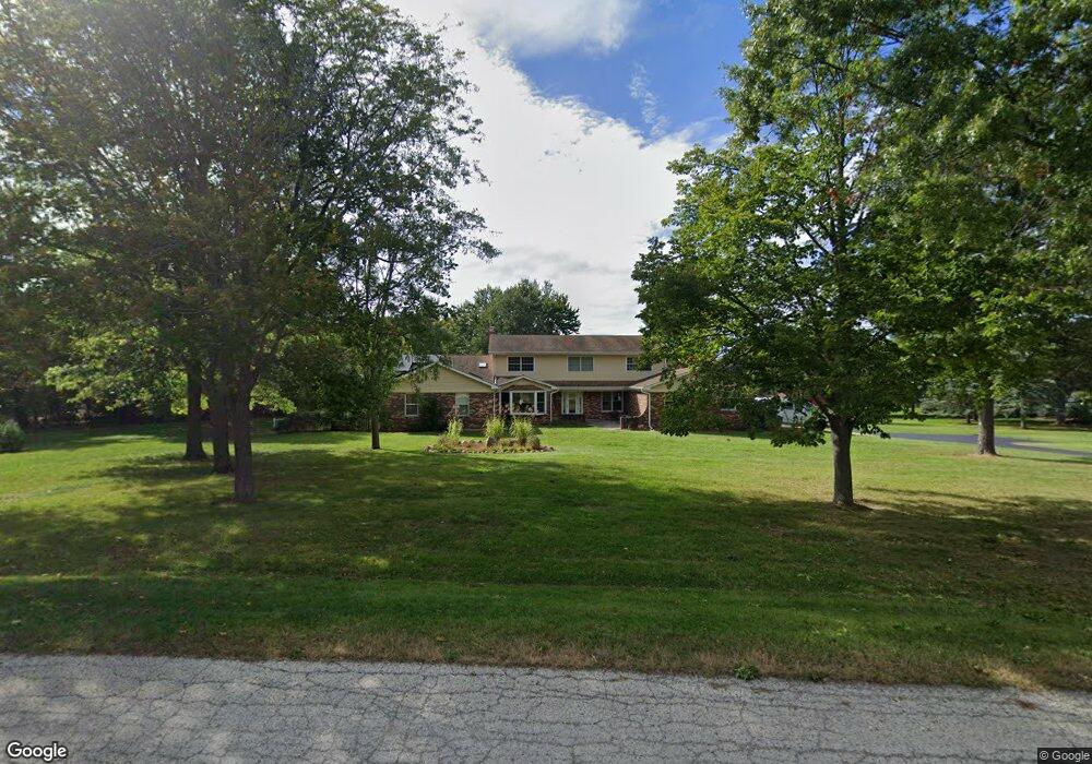
607 N Concord Dr Woodstock, IL 60098
Estimated Value: $619,000 - $697,000
4
Beds
8
Baths
4,011
Sq Ft
$164/Sq Ft
Est. Value
About This Home
This home is located at 607 N Concord Dr, Woodstock, IL 60098 and is currently estimated at $656,213, approximately $163 per square foot. 607 N Concord Dr is a home located in McHenry County with nearby schools including Valley View Elementary School, Parkland School, and McHenry Community High School - Upper Campus.
Ownership History
Date
Name
Owned For
Owner Type
Purchase Details
Closed on
Aug 24, 2005
Sold by
Veith Richard H
Bought by
Pawlowski Robert S and Pawloski Linda S
Current Estimated Value
Home Financials for this Owner
Home Financials are based on the most recent Mortgage that was taken out on this home.
Original Mortgage
$284,900
Outstanding Balance
$151,867
Interest Rate
5.89%
Mortgage Type
Fannie Mae Freddie Mac
Estimated Equity
$504,346
Purchase Details
Closed on
Apr 26, 2005
Sold by
Miner Russell Scott and Miner Elizabeth C
Bought by
Pawloski Robert S and Pawloski Linda S
Home Financials for this Owner
Home Financials are based on the most recent Mortgage that was taken out on this home.
Original Mortgage
$233,000
Interest Rate
6.05%
Mortgage Type
Fannie Mae Freddie Mac
Create a Home Valuation Report for This Property
The Home Valuation Report is an in-depth analysis detailing your home's value as well as a comparison with similar homes in the area
Home Values in the Area
Average Home Value in this Area
Purchase History
| Date | Buyer | Sale Price | Title Company |
|---|---|---|---|
| Pawlowski Robert S | -- | Chicago Title Insurance Comp | |
| Pawloski Robert S | $423,000 | Ticor |
Source: Public Records
Mortgage History
| Date | Status | Borrower | Loan Amount |
|---|---|---|---|
| Open | Pawlowski Robert S | $284,900 | |
| Previous Owner | Pawloski Robert S | $233,000 | |
| Closed | Pawloski Robert S | $50,000 |
Source: Public Records
Tax History Compared to Growth
Tax History
| Year | Tax Paid | Tax Assessment Tax Assessment Total Assessment is a certain percentage of the fair market value that is determined by local assessors to be the total taxable value of land and additions on the property. | Land | Improvement |
|---|---|---|---|---|
| 2024 | $16,046 | $195,461 | $34,383 | $161,078 |
| 2023 | $15,574 | $175,113 | $30,804 | $144,309 |
| 2022 | $14,980 | $162,458 | $28,578 | $133,880 |
| 2021 | $14,259 | $151,293 | $26,614 | $124,679 |
| 2020 | $13,805 | $144,987 | $25,505 | $119,482 |
| 2019 | $13,548 | $137,676 | $24,219 | $113,457 |
| 2018 | $13,281 | $131,433 | $23,121 | $108,312 |
| 2017 | $12,764 | $123,354 | $21,700 | $101,654 |
| 2016 | $15,168 | $139,751 | $20,280 | $119,471 |
| 2013 | -- | $107,391 | $19,967 | $87,424 |
Source: Public Records
Map
Nearby Homes
- 7408 Forest Oak Dr
- 7407 Forest Oak Dr
- 7402 Forest Oak Dr
- 7319 Forest Oak Dr
- 7316 Forest Oak Dr
- 7409 Burning Tree Dr
- 7304 Forest Oak Dr
- 7220 Forest Oak Dr
- 7212 Forest Oak Dr
- 7110 Forest Oak Dr
- 7111 Forest Oak Dr
- 7106 Forest Oak Dr
- 315 S Valley Hill Rd
- 8206 Bull Valley Rd
- 7208 Millburne Ct
- 7015 Burning Tree Cir
- 7200 Millburne Ct
- 7207 Millburne Ct
- 6911 Galway Dr
- 6722 Killala Ln
- 517 N Concord Dr
- 617 N Concord Dr
- Lot 15 N Concord Dr
- 8012 Concord Dr
- 7907 Cambridge Ct
- 621 N Concord Dr
- 7912 Bennington Ct
- 8106 Concord Dr
- 774 N Valley Hill Rd
- 715 N Concord Dr
- 7817 Cambridge Ct
- 8011 Concord Dr
- 8118 Concord Dr
- 7911 Bennington Ct
- 626 N Valley Hill Rd
- 712 N Concord Dr
- 7816 Bennington Ct
- 7818 Cambridge Ct
- 8204 Concord Dr
- 807 N Concord Dr