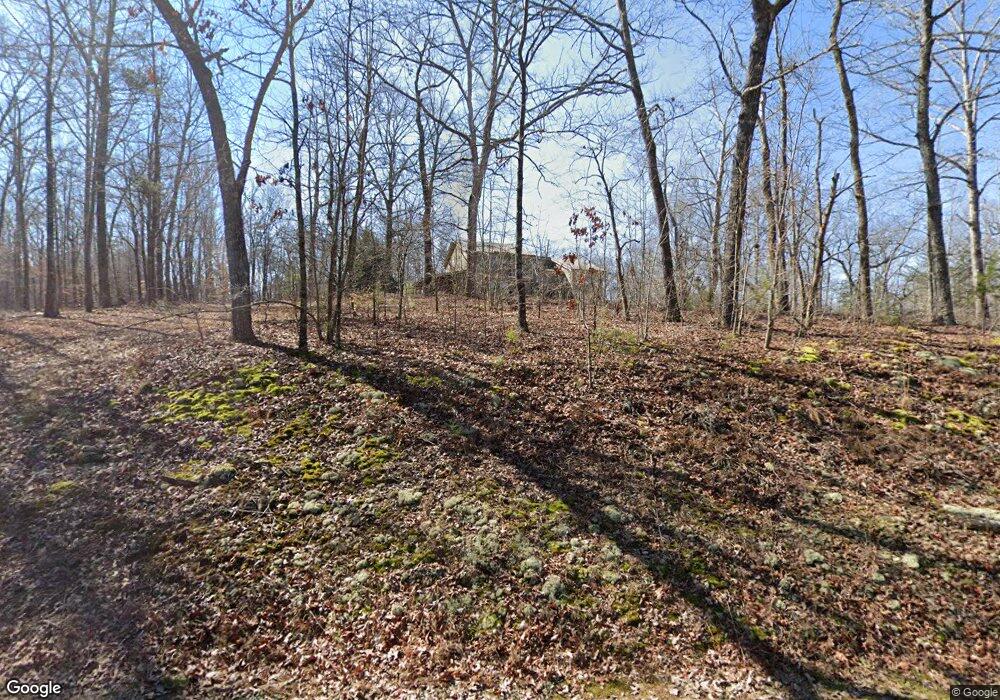
607 Riverbend Rd Dawsonville, GA 30534
Dawson County NeighborhoodEstimated Value: $679,000 - $835,000
3
Beds
3
Baths
1,558
Sq Ft
$487/Sq Ft
Est. Value
About This Home
This home is located at 607 Riverbend Rd, Dawsonville, GA 30534 and is currently estimated at $758,133, approximately $486 per square foot. 607 Riverbend Rd is a home located in Dawson County with nearby schools including Kilough Elementary School, Dawson County Junior High School, and Dawson County Middle School.
Ownership History
Date
Name
Owned For
Owner Type
Purchase Details
Closed on
Apr 15, 2013
Sold by
Lowe Sonny M
Bought by
Lowe Amanda and Lowe Sonny M
Current Estimated Value
Home Financials for this Owner
Home Financials are based on the most recent Mortgage that was taken out on this home.
Original Mortgage
$202,500
Outstanding Balance
$144,097
Interest Rate
3.65%
Mortgage Type
New Conventional
Estimated Equity
$614,036
Purchase Details
Closed on
Mar 28, 2007
Sold by
Lowe Sonny M
Bought by
Lowe Sonny M
Purchase Details
Closed on
Jan 8, 2003
Sold by
Lowe James Edwin
Bought by
Lowe Sonny M and Lowe Scott M
Purchase Details
Closed on
Jun 21, 2001
Sold by
Lowe James Edwin and Lowe P
Bought by
Lowe James Edwin
Purchase Details
Closed on
Jun 2, 1987
Sold by
Tritt Marvin
Bought by
Lowe James Edwin and Lowe P
Purchase Details
Closed on
May 9, 1986
Sold by
Turner Douglas and Turner Til
Bought by
Tritt Marvin
Create a Home Valuation Report for This Property
The Home Valuation Report is an in-depth analysis detailing your home's value as well as a comparison with similar homes in the area
Home Values in the Area
Average Home Value in this Area
Purchase History
| Date | Buyer | Sale Price | Title Company |
|---|---|---|---|
| Lowe Amanda | -- | -- | |
| Lowe Sonny M | -- | -- | |
| Lowe Sonny M | $270,000 | -- | |
| Lowe James Edwin | -- | -- | |
| Lowe James Edwin | $94,000 | -- | |
| Tritt Marvin | $47,500 | -- |
Source: Public Records
Mortgage History
| Date | Status | Borrower | Loan Amount |
|---|---|---|---|
| Open | Lowe Amanda | $202,500 |
Source: Public Records
Tax History Compared to Growth
Tax History
| Year | Tax Paid | Tax Assessment Tax Assessment Total Assessment is a certain percentage of the fair market value that is determined by local assessors to be the total taxable value of land and additions on the property. | Land | Improvement |
|---|---|---|---|---|
| 2024 | $3,582 | $224,432 | $54,000 | $170,432 |
| 2023 | $3,617 | $237,432 | $54,000 | $183,432 |
| 2022 | $4,151 | $193,768 | $54,000 | $139,768 |
| 2021 | $3,013 | $135,168 | $54,000 | $81,168 |
| 2020 | $2,803 | $120,439 | $52,889 | $67,550 |
| 2019 | $2,827 | $120,439 | $52,889 | $67,550 |
| 2018 | $2,563 | $128,448 | $54,000 | $74,448 |
| 2017 | $1,855 | $91,258 | $56,000 | $35,258 |
| 2016 | $1,482 | $61,976 | $28,800 | $33,176 |
| 2015 | $1,411 | $57,162 | $26,496 | $30,666 |
| 2014 | $1,317 | $51,691 | $24,480 | $27,211 |
| 2013 | -- | $42,886 | $20,160 | $22,726 |
Source: Public Records
Map
Nearby Homes
- 385 River Bend Rd
- 0 Georgia 400 N Unit 10544647
- 0 Georgia 400 N Unit 10510411
- 0 Georgia 400 N Unit 7570173
- 0 Georgia 400 N Unit 7591790
- 0 Georgia 400 N Unit 7591713
- 0 Georgia 400 N Unit 10544637
- 91 Gresham Ct
- 107 Gresham Ct
- 119 Gresham Ct
- 127 Gresham Ct
- 59 Lumpkin Ln
- 87 Carsons Creek Dr
- 1185 Harmony Church Rd
- 0 Nix Bridge Rd Unit 7555504
- 0 Nix Bridge Rd Unit 23130821
- 4130 Georgia 136
- 31 Briarwood Dr W
- 131 Plantation Dr
- 22 Springleaf Way
- 607 River Bend Rd
- 519 Riverbend Rd
- 612 Riverbend Rd
- 565 Riverbend Rd
- 467 Riverbend Rd
- 506 Riverbend Rd
- Lot 48 Riverbend Rd
- 459 Riverbend Rd
- 211 Old White Oak Trail Unit 8
- 211 Old White Oak Trail
- 201 Old White Oak Trail Unit 7
- 201 Old White Oak Trail
- 454 Riverbend Rd
- 786 Riverbend Rd
- 173 Old White Oak Trail Unit 5
- 173 Old White Oak Trail
- 247 Old White Oak Trail
- 153 Old White Oak Trail Unit 4
- 0 Old White Oak Trail Unit 24 7110961
- 0 Old White Oak Trail Unit LOT 23 7132755
