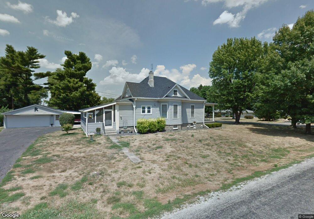
607 Sandusky St Jacksonville, IL 62650
Estimated Value: $135,000 - $235,000
--
Bed
--
Bath
--
Sq Ft
0.35
Acres
About This Home
This home is located at 607 Sandusky St, Jacksonville, IL 62650 and is currently estimated at $172,889. 607 Sandusky St is a home located in Morgan County with nearby schools including Jacksonville High School and Westfair Christian Academy.
Ownership History
Date
Name
Owned For
Owner Type
Purchase Details
Closed on
Apr 24, 2023
Sold by
Worrell Luke and Worrell Allison
Bought by
Watret Andrew and Watret Paige
Current Estimated Value
Home Financials for this Owner
Home Financials are based on the most recent Mortgage that was taken out on this home.
Original Mortgage
$5,000
Interest Rate
6.6%
Mortgage Type
New Conventional
Purchase Details
Closed on
Dec 21, 2022
Sold by
Reynolds Marilyn Defrates
Bought by
Worrell Luke and Worrell Allison
Create a Home Valuation Report for This Property
The Home Valuation Report is an in-depth analysis detailing your home's value as well as a comparison with similar homes in the area
Home Values in the Area
Average Home Value in this Area
Purchase History
| Date | Buyer | Sale Price | Title Company |
|---|---|---|---|
| Watret Andrew | $125,000 | None Listed On Document | |
| Worrell Luke | -- | -- |
Source: Public Records
Mortgage History
| Date | Status | Borrower | Loan Amount |
|---|---|---|---|
| Closed | Watret Andrew | $5,000 | |
| Open | Watret Andrew | $120,404 |
Source: Public Records
Tax History Compared to Growth
Tax History
| Year | Tax Paid | Tax Assessment Tax Assessment Total Assessment is a certain percentage of the fair market value that is determined by local assessors to be the total taxable value of land and additions on the property. | Land | Improvement |
|---|---|---|---|---|
| 2024 | $3,477 | $46,060 | $6,040 | $40,020 |
| 2023 | $4,237 | $44,950 | $6,040 | $38,910 |
| 2022 | $3,817 | $40,060 | $6,040 | $34,020 |
| 2021 | $914 | $40,530 | $6,040 | $34,490 |
| 2020 | $911 | $39,040 | $6,040 | $33,000 |
| 2019 | $2,545 | $37,680 | $6,040 | $31,640 |
| 2018 | $892 | $37,060 | $6,040 | $31,020 |
| 2017 | $2,156 | $35,190 | $5,750 | $29,440 |
| 2016 | $882 | $33,150 | $5,480 | $27,670 |
| 2015 | $1,957 | $32,180 | $5,320 | $26,860 |
| 2014 | $1,957 | $32,180 | $5,320 | $26,860 |
| 2013 | $846 | $32,180 | $5,320 | $26,860 |
Source: Public Records
Map
Nearby Homes
- 610 Sandusky St
- 508 N Webster Ave
- 411 Caldwell St
- 1 Wadsworth Dr
- 8 Wadsworth Dr
- 1305 W Lafayette Ave
- 840 W Walnut St
- 1492 Passavant Dr
- 290 Finley St
- 754 Freedman St
- 231 N Webster Ave
- 8 Duncan Park
- 144 Caldwell St
- 1136 W State St
- 813 N Diamond St
- 858 N Diamond St
- 715 N Diamond St
- 15A Shenandoah Ave
- 876 W State St
- 615 W Lafayette Ave
- 611 Sandusky St
- 1240 Maple St
- 2 Randall Ct
- 613 Sandusky St
- 4 Randall Ct
- 603 Sandusky St
- 1215 Maple St
- 608 Sandusky St
- 1217 Maple St
- 6 Randall Ct
- 615 Sandusky St
- 15 Winthrop Terrace
- 606 Sandusky St
- 1219 Maple St
- 8 Randall Ct
- 617 Sandusky St
- 13 Winthrop Terrace
- 604 Sandusky St
- 1260 Maple St
- 10 Randall Ct