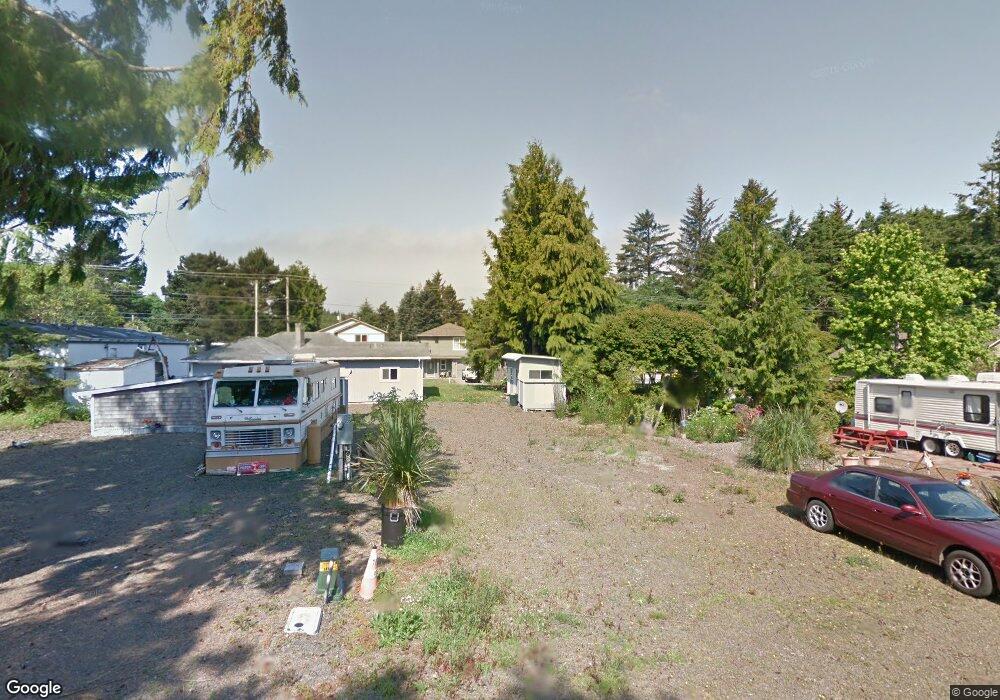
607 SE Quay Ave Lincoln City, OR 97367
Estimated Value: $298,000 - $347,000
2
Beds
1
Bath
653
Sq Ft
$493/Sq Ft
Est. Value
About This Home
This home is located at 607 SE Quay Ave, Lincoln City, OR 97367 and is currently estimated at $322,113, approximately $493 per square foot. 607 SE Quay Ave is a home located in Lincoln County with nearby schools including Taft Elementary School, Oceanlake Elementary School, and Taft High School.
Ownership History
Date
Name
Owned For
Owner Type
Purchase Details
Closed on
Jun 7, 2019
Sold by
F & S Newport Llc
Bought by
Msc Or Homes Llc
Current Estimated Value
Home Financials for this Owner
Home Financials are based on the most recent Mortgage that was taken out on this home.
Original Mortgage
$110,181
Interest Rate
3.7%
Mortgage Type
Commercial
Purchase Details
Closed on
Mar 8, 2019
Sold by
Sax Christopher and Sax Angie
Bought by
F & S Newport Llc
Purchase Details
Closed on
Jan 25, 2012
Sold by
Davis Cecille Ann
Bought by
Sax Christopher
Create a Home Valuation Report for This Property
The Home Valuation Report is an in-depth analysis detailing your home's value as well as a comparison with similar homes in the area
Home Values in the Area
Average Home Value in this Area
Purchase History
| Date | Buyer | Sale Price | Title Company |
|---|---|---|---|
| Msc Or Homes Llc | -- | None Available | |
| F & S Newport Llc | $40,000 | Western Title & Escrow | |
| Sax Christopher | -- | None Available |
Source: Public Records
Mortgage History
| Date | Status | Borrower | Loan Amount |
|---|---|---|---|
| Previous Owner | Msc Or Homes Llc | $110,181 |
Source: Public Records
Tax History Compared to Growth
Tax History
| Year | Tax Paid | Tax Assessment Tax Assessment Total Assessment is a certain percentage of the fair market value that is determined by local assessors to be the total taxable value of land and additions on the property. | Land | Improvement |
|---|---|---|---|---|
| 2024 | $2,105 | $122,610 | -- | -- |
| 2023 | $2,047 | $119,040 | $0 | $0 |
| 2022 | $1,990 | $115,580 | $0 | $0 |
| 2021 | $1,896 | $112,220 | $0 | $0 |
| 2020 | $1,308 | $76,900 | $0 | $0 |
| 2019 | $347 | $20,540 | $0 | $0 |
| 2018 | $340 | $19,950 | $0 | $0 |
| 2017 | $325 | $19,370 | $0 | $0 |
| 2016 | $305 | $18,810 | $0 | $0 |
| 2015 | $298 | $18,270 | $0 | $0 |
| 2014 | $291 | $17,740 | $0 | $0 |
| 2013 | -- | $17,230 | $0 | $0 |
Source: Public Records
Map
Nearby Homes
- 720 SE Quay Ave
- 2016 SE 8th St
- 520 SE Quay Ave
- 541 SE Oar Ave
- TL1508 + NE East Devils Lake Rd
- 380 SE Quay Ave
- 333 SE Oar Ave
- 313 SE Oar Ave
- 302 SE Neptune Ave
- 1219 SE Oar Ave
- 203 SE Surf Ave
- 210 SE Surf Ave
- T/L 500 SE 14th St
- 691 SE Jetty Ave
- Lot 6 SE Marine Ave
- 331 SE Jetty Ave
- 1455 SE Marine Ave
- 1453 SE Marine Ave
- 305 SE Jetty Ave Unit B
- 305 SE Jetty Ave
- 550 SE Blk Quay Ave
- 623 SE Quay Ave
- 604 SE Port Ave
- 548 SE Port Ave
- 625 SE Quay Ave
- 633 SE Quay Ave
- 614 SE Port Ave
- 546 SE Quay Ave
- 606 SE Quay Ave
- 614 Se Port
- 620 SE Quay Ave
- 535 SE Quay Ave
- 538 SE Quay Ave
- 536 SE Port Ave
- 630 SE Quay Ave
- 687 SE Quay Ave
- 601 SE Port Ave
- 530 SE Quay Ave
- 611 SE Reef Ave