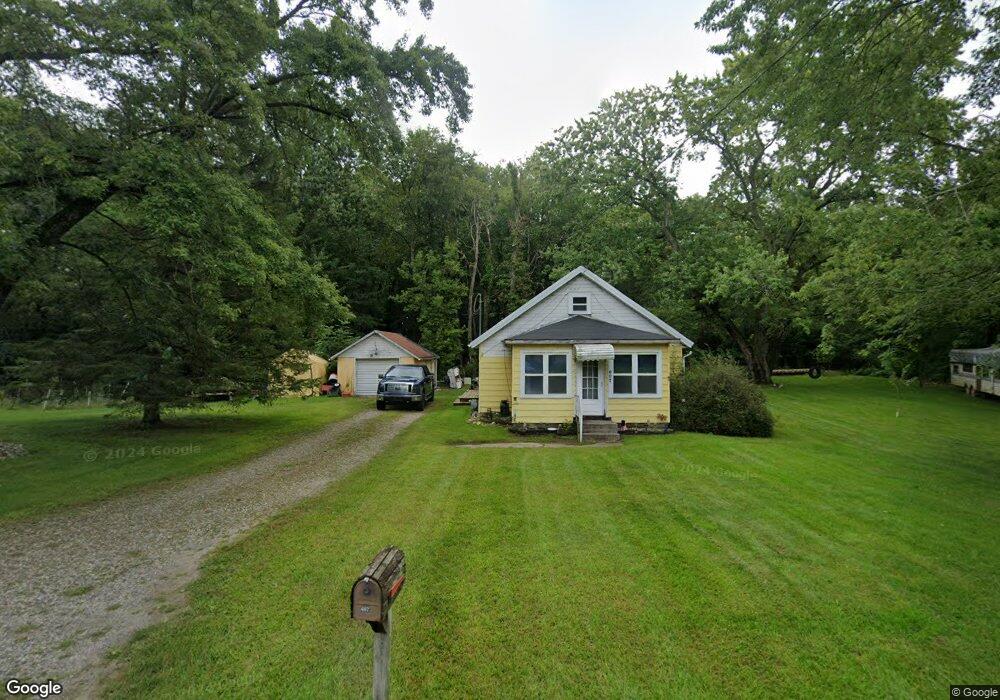
607 Sheridan Rd Jackson, MI 49203
Estimated Value: $99,000 - $145,764
Studio
1
Bath
780
Sq Ft
$160/Sq Ft
Est. Value
About This Home
This home is located at 607 Sheridan Rd, Jackson, MI 49203 and is currently estimated at $124,691, approximately $159 per square foot. 607 Sheridan Rd is a home located in Jackson County with nearby schools including East Jackson Elementary School, East Jackson Middle School, and East Jackson High School.
Ownership History
Date
Name
Owned For
Owner Type
Purchase Details
Closed on
Feb 25, 2019
Sold by
Wilmington Trust National Association
Bought by
Roark Jackie
Current Estimated Value
Home Financials for this Owner
Home Financials are based on the most recent Mortgage that was taken out on this home.
Original Mortgage
$53,350
Interest Rate
4%
Mortgage Type
New Conventional
Purchase Details
Closed on
Jun 13, 2018
Sold by
Negron Roberto S and Negron Tammy L
Bought by
Wilmington Trust Na
Purchase Details
Closed on
Jul 11, 2014
Sold by
Negron Tammy L
Bought by
Negron Roberto S
Create a Home Valuation Report for This Property
The Home Valuation Report is an in-depth analysis detailing your home's value as well as a comparison with similar homes in the area
Home Values in the Area
Average Home Value in this Area
Purchase History
| Date | Buyer | Sale Price | Title Company |
|---|---|---|---|
| Roark Jackie | $55,000 | None Available | |
| Wilmington Trust Na | $81,596 | None Available | |
| Negron Roberto S | -- | None Available |
Source: Public Records
Mortgage History
| Date | Status | Borrower | Loan Amount |
|---|---|---|---|
| Previous Owner | Roark Jackie | $53,350 |
Source: Public Records
Tax History
| Year | Tax Paid | Tax Assessment Tax Assessment Total Assessment is a certain percentage of the fair market value that is determined by local assessors to be the total taxable value of land and additions on the property. | Land | Improvement |
|---|---|---|---|---|
| 2025 | $1,399 | $50,115 | $0 | $0 |
| 2024 | $10 | $46,941 | $0 | $0 |
| 2023 | $908 | $49,215 | $0 | $0 |
| 2022 | $1,273 | $45,314 | $0 | $0 |
| 2021 | $1,252 | $41,681 | $0 | $0 |
| 2020 | $1,870 | $34,726 | $0 | $0 |
| 2019 | $1,745 | $39,000 | $0 | $0 |
| 2018 | $1,043 | $30,638 | $5,379 | $25,259 |
| 2017 | $985 | $29,040 | $0 | $0 |
| 2016 | $713 | $29,846 | $29,846 | $0 |
| 2015 | -- | $30,046 | $30,046 | $0 |
| 2014 | -- | $37,118 | $37,118 | $0 |
| 2013 | -- | $37,118 | $37,118 | $0 |
Source: Public Records
Map
Nearby Homes
- Vl Watts St
- 1156 Knapp St
- 205 S Dettman Rd
- 2718 Page Ave
- 1139 S Dettman Rd
- 210 Watts Rd
- 900 S Roberts St
- 3975 Mcarthur Rd
- 149 Mantle Ave
- 153 Mantle Ave
- 131 Willow St
- 0 Key St Unit 26001474
- 509 S Gorham St
- 111 N Forbes St
- 106 N Dwight St
- 781 Tomlinson St
- 404 Seminole Place
- 4027 Franklin Rd
- 134 N Gorham St
- 127 Bates St
- 607 Sheridan Rd
- 606 Sheridan Rd
- 603 Sheridan Rd
- 604 Sheridan St
- 604 Sheridan Rd
- 3180 Sparks Rd
- 3213 Pearlman Rd
- 3185 Sparks Rd
- 700 Sheridan Rd
- 3218 Pearlman Rd
- 570 Sheridan Rd
- 3137 Sparks Rd
- 567 Sheridan Rd
- 3210 Pearlman Rd
- 562 Sheridan Rd
- 3140 Sparks Rd
- 559 Sheridan Rd
- 3141 Sparks Rd
- 3143 Pearlman Rd
- 3141 Sparks Rd
Your Personal Tour Guide
Ask me questions while you tour the home.