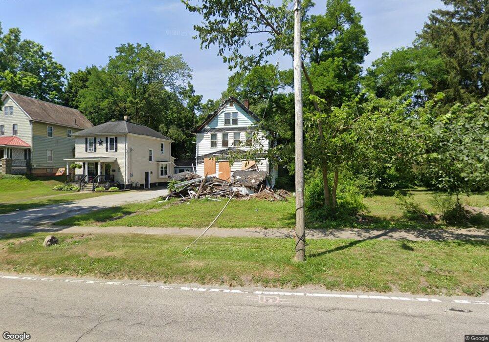
607 Tod Ave NW Warren, OH 44485
Amvets NeighborhoodEstimated Value: $50,000 - $59,000
3
Beds
1
Bath
1,344
Sq Ft
$41/Sq Ft
Est. Value
About This Home
This home is located at 607 Tod Ave NW, Warren, OH 44485 and is currently estimated at $55,506, approximately $41 per square foot. 607 Tod Ave NW is a home located in Trumbull County with nearby schools including Warren G. Harding High School, Willard PK-8 School, and Steam Academy of Warren.
Ownership History
Date
Name
Owned For
Owner Type
Purchase Details
Closed on
Jan 10, 2000
Sold by
Smith Cynthia J
Bought by
Bower William
Current Estimated Value
Purchase Details
Closed on
Jun 27, 1996
Sold by
Yoxtheimer Dorothy B
Bought by
Smith Cynthia J
Home Financials for this Owner
Home Financials are based on the most recent Mortgage that was taken out on this home.
Original Mortgage
$63,957
Interest Rate
8.13%
Mortgage Type
FHA
Purchase Details
Closed on
Jan 1, 1990
Bought by
Dorothy B Yoxtheimer
Create a Home Valuation Report for This Property
The Home Valuation Report is an in-depth analysis detailing your home's value as well as a comparison with similar homes in the area
Home Values in the Area
Average Home Value in this Area
Purchase History
| Date | Buyer | Sale Price | Title Company |
|---|---|---|---|
| Bower William | $65,000 | -- | |
| Smith Cynthia J | $64,000 | -- | |
| Dorothy B Yoxtheimer | -- | -- |
Source: Public Records
Mortgage History
| Date | Status | Borrower | Loan Amount |
|---|---|---|---|
| Previous Owner | Smith Cynthia J | $63,957 |
Source: Public Records
Tax History Compared to Growth
Tax History
| Year | Tax Paid | Tax Assessment Tax Assessment Total Assessment is a certain percentage of the fair market value that is determined by local assessors to be the total taxable value of land and additions on the property. | Land | Improvement |
|---|---|---|---|---|
| 2024 | $528 | $10,610 | $1,400 | $9,210 |
| 2023 | $528 | $10,610 | $1,400 | $9,210 |
| 2022 | $647 | $10,190 | $1,400 | $8,790 |
| 2021 | $648 | $10,190 | $1,400 | $8,790 |
| 2020 | $649 | $10,190 | $1,400 | $8,790 |
| 2019 | $656 | $9,770 | $1,400 | $8,370 |
| 2018 | $653 | $9,770 | $1,400 | $8,370 |
| 2017 | $643 | $9,770 | $1,400 | $8,370 |
| 2016 | $686 | $10,790 | $1,930 | $8,860 |
| 2015 | $681 | $10,790 | $1,930 | $8,860 |
| 2014 | $677 | $10,790 | $1,930 | $8,860 |
| 2013 | $695 | $11,660 | $1,930 | $9,730 |
Source: Public Records
Map
Nearby Homes
- 600 Parkman Rd NW
- 970 Tod Ave NW
- 806 Parkman Rd NW
- 983 Garden St NW
- 666 Dickey Ave NW
- 1056 Orlo Dr NW
- 1166 Raymond St NW
- 561 South St SW
- 855 Adams Ave NW
- 360 Freeman St NW
- 759 Tod Ave SW
- 1325 Moncrest Dr NW
- 555 Hall St NW
- 428 Waverly Ave NE
- 1447 Grove Ave NW
- 1459 West Ave NW
- 1530 Vernon Ave NW
- 433 Olive Ave NE Unit 435
- 1552 Denison Ave NW
- 783 Packard St NW
- 597 Tod Ave NW
- 631 Tod Ave NW
- 589 Tod Ave NW
- 825 Mason St NW
- 579 Tod Ave NW
- 835 Mason St NW
- 649 Tod Ave NW
- 647 Tod Ave NW
- 567 Tod Ave NW
- 849 Mason St NW
- 610 Tod Ave NW
- 622 Tod Ave NW
- 634 Tod Ave NW
- 580 Tod Ave NW
- 859 Mason St NW
- 807 Tod Ave NW
- 542 Hillsdale Dr NW
- 555 Tod Ave NW
- 558 Hillsdale Dr NW
- 550 Hillsdale Dr NW