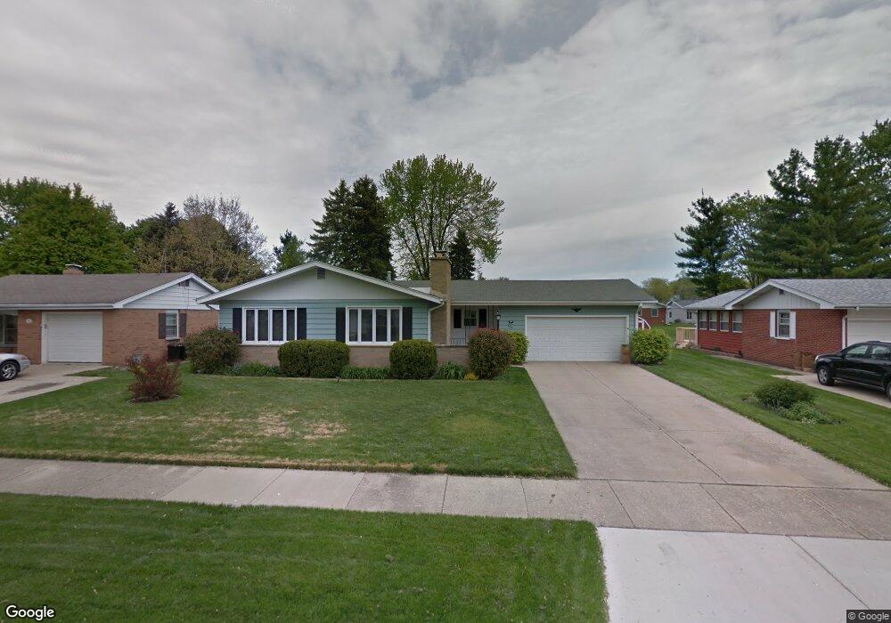
607 W State St North Aurora, IL 60542
Estimated Value: $286,000 - $333,000
--
Bed
--
Bath
1,311
Sq Ft
$234/Sq Ft
Est. Value
About This Home
This home is located at 607 W State St, North Aurora, IL 60542 and is currently estimated at $307,014, approximately $234 per square foot. 607 W State St is a home located in Kane County with nearby schools including Goodwin Elementary School, Jewel Middle School, and West Aurora High School.
Ownership History
Date
Name
Owned For
Owner Type
Purchase Details
Closed on
Feb 15, 2024
Sold by
Sandra J Smart Living Trust
Bought by
Frank P Schmalz Living Trust and Schmalz
Current Estimated Value
Purchase Details
Closed on
Jun 13, 2013
Sold by
Smart Sandra J
Bought by
Smart Sandra J and Sandra J Smart Living Trust
Purchase Details
Closed on
Jul 20, 2005
Sold by
Davidson Florence
Bought by
Smart Sandra J
Purchase Details
Closed on
May 1, 2002
Sold by
Davidson Florence V
Bought by
The Florence Davidson Declaration Trust and Davidson Florence
Purchase Details
Closed on
Feb 25, 2002
Sold by
Davidson James H and Davidson Florence V
Bought by
Davidson Florence
Create a Home Valuation Report for This Property
The Home Valuation Report is an in-depth analysis detailing your home's value as well as a comparison with similar homes in the area
Home Values in the Area
Average Home Value in this Area
Purchase History
| Date | Buyer | Sale Price | Title Company |
|---|---|---|---|
| Frank P Schmalz Living Trust | $240,000 | Chicago Title | |
| Smart Sandra J | -- | None Available | |
| Smart Sandra J | -- | -- | |
| Davidson Florence | -- | -- | |
| The Florence Davidson Declaration Trust | -- | -- | |
| Davidson Florence | -- | -- |
Source: Public Records
Tax History Compared to Growth
Tax History
| Year | Tax Paid | Tax Assessment Tax Assessment Total Assessment is a certain percentage of the fair market value that is determined by local assessors to be the total taxable value of land and additions on the property. | Land | Improvement |
|---|---|---|---|---|
| 2024 | $5,910 | $93,650 | $13,622 | $80,028 |
| 2023 | $5,578 | $83,676 | $12,171 | $71,505 |
| 2022 | $5,475 | $76,347 | $11,105 | $65,242 |
| 2021 | $5,188 | $71,080 | $10,339 | $60,741 |
| 2020 | $5,442 | $72,853 | $9,603 | $63,250 |
| 2019 | $5,227 | $67,500 | $8,897 | $58,603 |
| 2018 | $4,906 | $62,258 | $8,230 | $54,028 |
| 2017 | $4,493 | $56,625 | $7,583 | $49,042 |
| 2016 | $3,882 | $49,236 | $6,327 | $42,909 |
| 2015 | -- | $43,229 | $5,441 | $37,788 |
| 2014 | -- | $40,439 | $5,233 | $35,206 |
| 2013 | -- | $40,983 | $5,158 | $35,825 |
Source: Public Records
Map
Nearby Homes
- 6 S Sycamore Ln
- 727 Harmony Ct
- 43 S Juniper Dr Unit 3
- 302 Pin Oak Dr
- 202 Larchwood Ln
- 791 Cottonwood Dr
- 503 Redwood Ct
- 328 W State St
- 22 Silver Trail Unit 2
- 438 Mallard Point Dr
- 341 Pheasant Hill Dr
- 442 Mallard Point Dr
- 320 Harmony Dr
- 413 N Sycamore Ln
- 218 Timber Oaks Dr
- 307 John St
- 306 Harmony Dr
- 426 Prairie Ridge Ln
- 427 Prairie Ridge Ln
- 344 Hilltop Dr