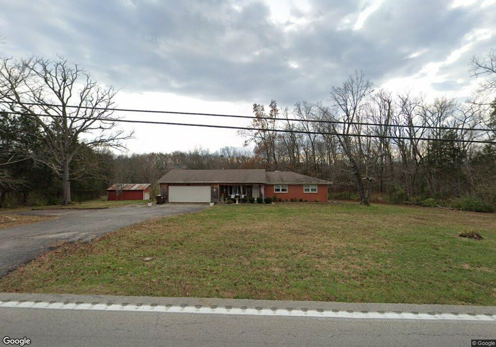
6071 Cedar Grove Rd Shepherdsville, KY 40165
Estimated Value: $334,346 - $384,000
3
Beds
1
Bath
1,565
Sq Ft
$230/Sq Ft
Est. Value
About This Home
This home is located at 6071 Cedar Grove Rd, Shepherdsville, KY 40165 and is currently estimated at $360,587, approximately $230 per square foot. 6071 Cedar Grove Rd is a home located in Bullitt County with nearby schools including Cedar Grove Elementary School, Bernheim Middle School, and Bullitt Central High School.
Ownership History
Date
Name
Owned For
Owner Type
Purchase Details
Closed on
Oct 25, 2023
Sold by
Dotson Tina L and Dotson John Paul
Bought by
Dotson John Paul and Dotson Tina L
Current Estimated Value
Purchase Details
Closed on
Aug 31, 2018
Sold by
Hoerter Barbara L
Bought by
Dotson Tina L
Home Financials for this Owner
Home Financials are based on the most recent Mortgage that was taken out on this home.
Original Mortgage
$139,200
Interest Rate
4.5%
Mortgage Type
New Conventional
Create a Home Valuation Report for This Property
The Home Valuation Report is an in-depth analysis detailing your home's value as well as a comparison with similar homes in the area
Home Values in the Area
Average Home Value in this Area
Purchase History
| Date | Buyer | Sale Price | Title Company |
|---|---|---|---|
| Dotson John Paul | -- | None Listed On Document | |
| Dotson Tina L | $174,000 | Wooldridge John |
Source: Public Records
Mortgage History
| Date | Status | Borrower | Loan Amount |
|---|---|---|---|
| Previous Owner | Dotson Tina L | $139,200 |
Source: Public Records
Tax History Compared to Growth
Tax History
| Year | Tax Paid | Tax Assessment Tax Assessment Total Assessment is a certain percentage of the fair market value that is determined by local assessors to be the total taxable value of land and additions on the property. | Land | Improvement |
|---|---|---|---|---|
| 2024 | $2,618 | $224,955 | $50,000 | $174,955 |
| 2023 | $2,600 | $224,955 | $0 | $224,955 |
| 2022 | $2,627 | $224,955 | $0 | $224,955 |
| 2021 | $2,632 | $224,955 | $0 | $0 |
| 2020 | $2,183 | $190,080 | $0 | $0 |
| 2019 | $2,147 | $190,080 | $0 | $0 |
| 2018 | $2,190 | $190,080 | $0 | $0 |
| 2017 | $1,691 | $149,040 | $0 | $0 |
| 2016 | $1,542 | $149,040 | $0 | $0 |
| 2015 | $1,509 | $149,040 | $0 | $0 |
| 2014 | $1,481 | $149,040 | $0 | $0 |
Source: Public Records
Map
Nearby Homes
- 765 Wilderness Trail
- Lot 19 Alyssa Brook Dr
- 710 Alyssa Brooke Dr
- 0 Ponderosa Place
- 2131 Ridge Rd
- Tract 2 High Ridge Dr
- TBD High Ridge Dr
- 442 Clarks Ln
- 211 Jackson Hill Rd
- 116 River Side Park Ct
- 687 Stoneyridge Wynde
- 234 Cedar Place Dr
- 125 Broken Arrow Ct
- 147 Blue Ridge Cir
- 0 - Lot 60 Bluff's Edge Dr
- Winston Plan at River Crest - Designer Collection
- Carrington Plan at River Crest - Designer Collection
- Emmett Plan at River Crest - Designer Collection
- Breckenridge Plan at River Crest - Maple Street Collection
- Yosemite Plan at River Crest - Maple Street Collection
- 6115 Cedar Grove Rd
- 6001 Cedar Grove Rd
- 6023 Cedar Grove Rd
- 177 White Run Rd
- 425 Millers Ln
- 6123 Cedar Grove Rd
- 183 Millers Ln
- 5920 Cedar Grove Rd
- 5903 Cedar Grove Rd
- 268 White Run Rd
- 5659 Cedar Grove Rd
- 315 White Run Rd
- 225 Millers Ln
- 365 White Run Rd
- 5871 Cedar Grove Rd
- 324 White Run Rd
- 393 White Run Rd
- 9 Country Manor Ln
- 13 Country Manor Ln
- 115 Country Manor Ln