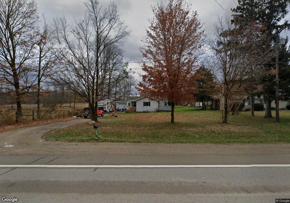
6072 W M 21 Owosso, MI 48867
Estimated Value: $99,000 - $174,000
2
Beds
1
Bath
1,257
Sq Ft
$103/Sq Ft
Est. Value
About This Home
This home is located at 6072 W M 21, Owosso, MI 48867 and is currently estimated at $129,982, approximately $103 per square foot. 6072 W M 21 is a home located in Shiawassee County with nearby schools including Leonard Elementary School, E.E. Knight Elementary School, and Ovid-Elsie Middle School.
Ownership History
Date
Name
Owned For
Owner Type
Purchase Details
Closed on
Jun 10, 2005
Sold by
Home Loan & Investment Bank Fsb
Bought by
Swarthout Richard and Swarthout Tina
Current Estimated Value
Home Financials for this Owner
Home Financials are based on the most recent Mortgage that was taken out on this home.
Original Mortgage
$80,000
Outstanding Balance
$48,449
Interest Rate
8.35%
Mortgage Type
Fannie Mae Freddie Mac
Estimated Equity
$81,533
Purchase Details
Closed on
Jun 16, 2004
Sold by
Brandal Allen and Brandal Teresa
Bought by
Home Loan & Investment Bank Fsb
Create a Home Valuation Report for This Property
The Home Valuation Report is an in-depth analysis detailing your home's value as well as a comparison with similar homes in the area
Home Values in the Area
Average Home Value in this Area
Purchase History
| Date | Buyer | Sale Price | Title Company |
|---|---|---|---|
| Swarthout Richard | $80,000 | Chicago Title | |
| Home Loan & Investment Bank Fsb | $68,930 | -- |
Source: Public Records
Mortgage History
| Date | Status | Borrower | Loan Amount |
|---|---|---|---|
| Open | Swarthout Richard | $80,000 |
Source: Public Records
Tax History Compared to Growth
Tax History
| Year | Tax Paid | Tax Assessment Tax Assessment Total Assessment is a certain percentage of the fair market value that is determined by local assessors to be the total taxable value of land and additions on the property. | Land | Improvement |
|---|---|---|---|---|
| 2025 | $1,431 | $48,200 | $0 | $0 |
| 2024 | $1,367 | $47,500 | $0 | $0 |
| 2023 | $311 | $40,400 | $0 | $0 |
| 2022 | $297 | $37,100 | $0 | $0 |
| 2021 | $1,262 | $35,100 | $0 | $0 |
| 2020 | $1,244 | $33,300 | $0 | $0 |
| 2019 | $1,221 | $25,700 | $0 | $0 |
| 2018 | $1,199 | $25,300 | $0 | $0 |
| 2017 | $1,160 | $25,900 | $0 | $0 |
| 2016 | $267 | $25,900 | $0 | $0 |
| 2015 | $267 | $24,400 | $0 | $0 |
| 2014 | $3 | $22,600 | $0 | $0 |
Source: Public Records
Map
Nearby Homes
- 1279 Leland Rd
- 3006 W M 21
- 9882 W M 21
- 222 N Main St
- 306 N Main St
- 217 W Clinton St
- 210 W Front St
- 2230 S Meridian Rd
- 228 W Pearl St
- 218 W High St
- 4101 Shaftsburg Rd
- N Chestnut Street N Chestnut St
- 982 S Chestnut St
- 539 W Wildwood Dr
- 1444 W King St
- Vacant Ash St
- 1318 W Stewart St
- 411 Robbins St
- 440 Curwood Dr
- 309 State St