6073 Morrow Ln Gibsonia, PA 15044
Estimated Value: $535,826 - $632,000
4
Beds
3
Baths
3,126
Sq Ft
$185/Sq Ft
Est. Value
About This Home
This home is located at 6073 Morrow Ln, Gibsonia, PA 15044 and is currently estimated at $578,207, approximately $184 per square foot. 6073 Morrow Ln is a home located in Allegheny County with nearby schools including Richland Elementary School, Eden Hall Upper Elementary, and Pine-Richland Middle School.
Ownership History
Date
Name
Owned For
Owner Type
Purchase Details
Closed on
Mar 6, 2024
Sold by
Kearns Kathleen M and Kearns Robert J
Bought by
Kearns Family Protector Trust and Kearns
Current Estimated Value
Purchase Details
Closed on
Jan 4, 2024
Sold by
Kearns Robert J and Kearns Kathleen M
Bought by
Kearns Family Protector Trust
Purchase Details
Closed on
Nov 24, 2023
Sold by
Kearns Kathleen M and Kearns Kathleen M
Bought by
Kearns Kathleen M and Kearns Robert J
Purchase Details
Closed on
Nov 17, 2023
Sold by
The Kearns Family Protector Trust
Bought by
Kearns Robert J and Kearns Kathleen M
Purchase Details
Closed on
Mar 2, 2020
Sold by
Kearns Robert J and Kearns Kathleen M
Bought by
Kearns Robert J and Kearns Kathleen M
Create a Home Valuation Report for This Property
The Home Valuation Report is an in-depth analysis detailing your home's value as well as a comparison with similar homes in the area
Home Values in the Area
Average Home Value in this Area
Purchase History
| Date | Buyer | Sale Price | Title Company |
|---|---|---|---|
| Kearns Family Protector Trust | -- | -- | |
| Kearns Kathleen M | -- | -- | |
| Kearns Robert J | $1 | -- | |
| Kearns Robert J | -- | None Available | |
| Kearns Family Protector Trust | -- | -- |
Source: Public Records
Tax History Compared to Growth
Tax History
| Year | Tax Paid | Tax Assessment Tax Assessment Total Assessment is a certain percentage of the fair market value that is determined by local assessors to be the total taxable value of land and additions on the property. | Land | Improvement |
|---|---|---|---|---|
| 2025 | $5,871 | $217,400 | $53,700 | $163,700 |
| 2024 | $5,871 | $217,400 | $53,700 | $163,700 |
| 2023 | $5,871 | $217,400 | $53,700 | $163,700 |
| 2022 | $5,871 | $217,400 | $53,700 | $163,700 |
| 2021 | $1,028 | $217,400 | $53,700 | $163,700 |
| 2020 | $5,765 | $217,400 | $53,700 | $163,700 |
| 2019 | $5,765 | $217,400 | $53,700 | $163,700 |
| 2018 | $1,028 | $217,400 | $53,700 | $163,700 |
| 2017 | $5,682 | $217,400 | $53,700 | $163,700 |
| 2016 | $1,028 | $217,400 | $53,700 | $163,700 |
| 2015 | $1,028 | $217,400 | $53,700 | $163,700 |
| 2014 | $5,683 | $217,400 | $53,700 | $163,700 |
Source: Public Records
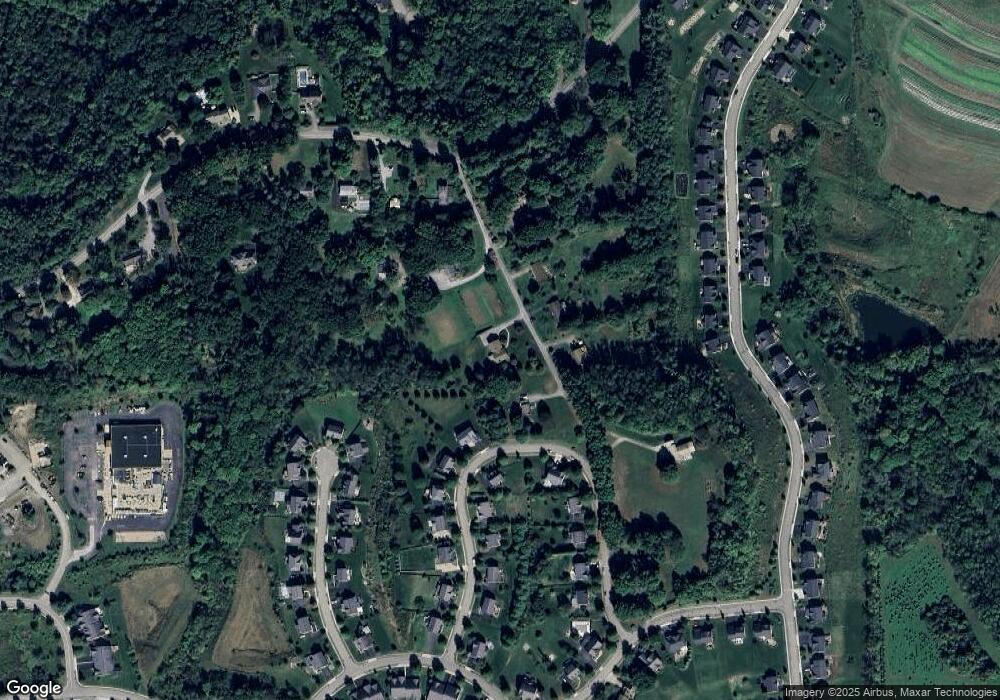
Map
Nearby Homes
- 404 Minglewood Dr
- 251 Estates Dr
- 132 Bellefield Ct
- 121 Bellefield Ct
- 113 Bellefield Ct
- 1043 van Velsor Dr
- 503 Kyle Ct
- 106 Maple Dr
- 0 Legion Dr
- 5910 Heckert Rd
- 211 Central Dr
- 1042 Beacon Hill Rd
- 632 Sandy Hill Rd
- 146 Tanglewood Dr
- 6076 William Flinn Hwy
- 744 Galloway Dr
- 3901 Bakerstown Rd
- 539 Madison Dr
- 4 Field Brook Ct
- 5706 Wesleyann Dr
- 6069 Morrow Ln
- 6060 Morrow Rd
- 413 Minglewood Dr
- 6068 Morrow Rd
- 6079 Morrow Rd
- 6079 Morrow Rd
- 411 Minglewood Dr
- 410 Minglewood Dr
- 6062 Morrow Ln
- 418 Minglewood Dr
- 312 Garden Ct
- 408 Minglewood Dr
- 409 Minglewood Dr
- 3666 Sandy Hill Rd
- 6074 Morrow Ln
- 314 Garden Ct
- 420 Minglewood Dr
- 3662 Sandy Hill Rd
- 310 Garden Ct
- 406 Minglewood Dr