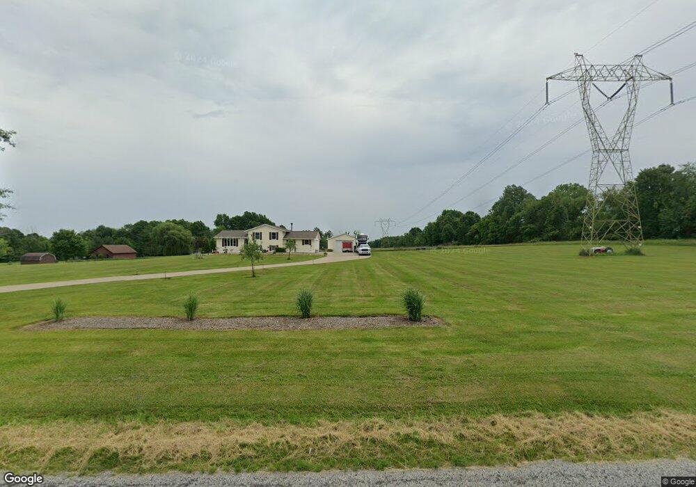
6073 Taylor Rd Clinton, OH 44216
Estimated Value: $298,000 - $496,000
3
Beds
2
Baths
1,322
Sq Ft
$286/Sq Ft
Est. Value
About This Home
This home is located at 6073 Taylor Rd, Clinton, OH 44216 and is currently estimated at $378,660, approximately $286 per square foot. 6073 Taylor Rd is a home located in Summit County with nearby schools including Norton Primary Elementary School, Norton Middle School, and Norton High School.
Ownership History
Date
Name
Owned For
Owner Type
Purchase Details
Closed on
Dec 16, 2025
Sold by
Simmons Michael W
Bought by
Simmons Preservation Trust and Simmons
Current Estimated Value
Purchase Details
Closed on
Mar 13, 2002
Sold by
Winans James K
Bought by
Simmons Michael W
Home Financials for this Owner
Home Financials are based on the most recent Mortgage that was taken out on this home.
Original Mortgage
$182,000
Interest Rate
7.11%
Mortgage Type
Construction
Purchase Details
Closed on
Jul 31, 1996
Sold by
Williams James D
Bought by
Winans James K
Home Financials for this Owner
Home Financials are based on the most recent Mortgage that was taken out on this home.
Original Mortgage
$33,750
Interest Rate
8.33%
Mortgage Type
New Conventional
Purchase Details
Closed on
Oct 26, 1994
Sold by
Simon Clara M
Bought by
Williams James D and Williams Gloria M
Create a Home Valuation Report for This Property
The Home Valuation Report is an in-depth analysis detailing your home's value as well as a comparison with similar homes in the area
Home Values in the Area
Average Home Value in this Area
Purchase History
| Date | Buyer | Sale Price | Title Company |
|---|---|---|---|
| Simmons Preservation Trust | -- | None Listed On Document | |
| Simmons Michael W | $60,000 | Wigley Title Agency Inc | |
| Winans James K | $45,000 | -- | |
| Williams James D | $70,000 | -- |
Source: Public Records
Mortgage History
| Date | Status | Borrower | Loan Amount |
|---|---|---|---|
| Previous Owner | Simmons Michael W | $182,000 | |
| Previous Owner | Winans James K | $33,750 |
Source: Public Records
Tax History
| Year | Tax Paid | Tax Assessment Tax Assessment Total Assessment is a certain percentage of the fair market value that is determined by local assessors to be the total taxable value of land and additions on the property. | Land | Improvement |
|---|---|---|---|---|
| 2025 | $4,335 | $109,750 | $24,346 | $85,404 |
| 2024 | $4,335 | $109,750 | $24,346 | $85,404 |
| 2023 | $4,335 | $109,750 | $24,346 | $85,404 |
| 2022 | $4,238 | $87,269 | $19,019 | $68,250 |
| 2021 | $4,292 | $87,269 | $19,019 | $68,250 |
| 2020 | $4,208 | $87,270 | $19,020 | $68,250 |
| 2019 | $4,110 | $77,270 | $22,480 | $54,790 |
| 2018 | $4,042 | $77,270 | $22,480 | $54,790 |
| 2017 | $4,128 | $77,270 | $22,480 | $54,790 |
| 2016 | $4,073 | $70,830 | $22,480 | $48,350 |
| 2015 | $4,128 | $70,830 | $22,480 | $48,350 |
| 2014 | $4,090 | $70,830 | $22,480 | $48,350 |
| 2013 | $4,112 | $72,010 | $22,480 | $49,530 |
Source: Public Records
Map
Nearby Homes
- 18592 Edwards Rd Unit 169
- 18592 Edwards Rd Unit 100
- 18592 Edwards Rd Unit 137
- 18592 Edwards Rd Unit 243
- 18592 Edwards Rd Unit 3
- 18592 Edwards Rd
- 3388 Symphony Ln
- 14740 Oak Grove Dr Unit 41
- V/L 1 Grill Rd
- 18085 Grill Rd
- 3179 Vanderhoof Rd
- 5813 S Cleveland Massillon Rd
- 12214 Vince Dr
- 15240 Hametown Rd
- 2672 Lyman Dr
- 255 Taylor Rd
- 2688 Himelrigh Blvd
- V/L Monroe Square
- 136 Taylor Rd
- 5239 Monroe Square E
Your Personal Tour Guide
Ask me questions while you tour the home.