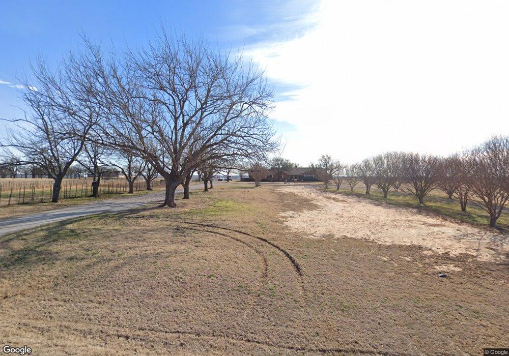
6074 S Fm 730 Decatur, TX 76234
Estimated Value: $482,000 - $536,000
--
Bed
--
Bath
2,262
Sq Ft
$226/Sq Ft
Est. Value
About This Home
This home is located at 6074 S Fm 730, Decatur, TX 76234 and is currently estimated at $512,053, approximately $226 per square foot. 6074 S Fm 730 is a home located in Wise County with nearby schools including Boyd Elementary School, Boyd Middle School, and Boyd High School.
Ownership History
Date
Name
Owned For
Owner Type
Purchase Details
Closed on
Dec 10, 2021
Sold by
Kb Land Development Llc
Bought by
Simpson Mark and Simpson Gwendolyn
Current Estimated Value
Home Financials for this Owner
Home Financials are based on the most recent Mortgage that was taken out on this home.
Original Mortgage
$351,500
Outstanding Balance
$323,417
Interest Rate
3.14%
Mortgage Type
New Conventional
Estimated Equity
$188,636
Purchase Details
Closed on
Jan 1, 1901
Bought by
Adams Dan
Create a Home Valuation Report for This Property
The Home Valuation Report is an in-depth analysis detailing your home's value as well as a comparison with similar homes in the area
Home Values in the Area
Average Home Value in this Area
Purchase History
| Date | Buyer | Sale Price | Title Company |
|---|---|---|---|
| Simpson Mark | -- | Guardian Title | |
| Adams Dan | -- | -- |
Source: Public Records
Mortgage History
| Date | Status | Borrower | Loan Amount |
|---|---|---|---|
| Open | Simpson Mark | $351,500 |
Source: Public Records
Tax History Compared to Growth
Tax History
| Year | Tax Paid | Tax Assessment Tax Assessment Total Assessment is a certain percentage of the fair market value that is determined by local assessors to be the total taxable value of land and additions on the property. | Land | Improvement |
|---|---|---|---|---|
| 2025 | $4,310 | $483,540 | -- | -- |
| 2024 | $4,310 | $439,582 | $0 | $0 |
| 2023 | $4,773 | $399,620 | $92,356 | $307,264 |
| 2022 | $6,225 | $419,198 | $102,145 | $317,053 |
| 2021 | $3,035 | $198,170 | $9,760 | $188,410 |
| 2020 | $2,766 | $173,600 | $8,440 | $165,160 |
| 2019 | $2,914 | $171,670 | $8,440 | $163,230 |
| 2018 | $2,769 | $155,970 | $7,470 | $148,500 |
| 2017 | $2,580 | $145,320 | $6,720 | $138,600 |
| 2016 | $2,371 | $134,900 | $5,720 | $129,180 |
| 2015 | -- | $126,460 | $5,580 | $120,880 |
| 2014 | -- | $126,350 | $5,470 | $120,880 |
Source: Public Records
Map
Nearby Homes
- 540 County Road 4470
- 5549 S Fm 730
- 177 Private Road 4394
- 265 County Road 4374
- 2150 County Road 4371
- 2160 County Road 4371
- 0 County Road 4371
- 448 County Road 4287
- 459 County Road 4287
- 941 County Road 4270
- 00 Lot 11 County Road 4287
- 360 County Road 4358
- 1231 County Road 4280
- 149 Highgate Ct
- 132 Parkview Ln
- 120 Parkview Ln
- 000 County Road 4360
- Caleb Plan at Highland Oaks
- Camden Plan at Highland Oaks
- Carson Plan at Highland Oaks
- 6074 S Fm 730
- 6074 S Fm 730
- 6074 S Fm 730
- 6074 S Fm 730
- 6074 S Fm 730
- 6090 S Fm 730
- 2154 County Road 4380
- 6083 S Fm 730
- 5946 S Fm 730
- 6093 S Fm 730
- 6111 S Fm 730
- 6093 Farm To Market Road 730 N
- Lot 2 Fm 730
- Lot 5 Cr 4371
- 6154 S Fm 730
- 2210 County Road 4371
- 2059 County Road 4380
- 3 County Road 4371
- 1 County Road 4371
- 2110 County Road 4380