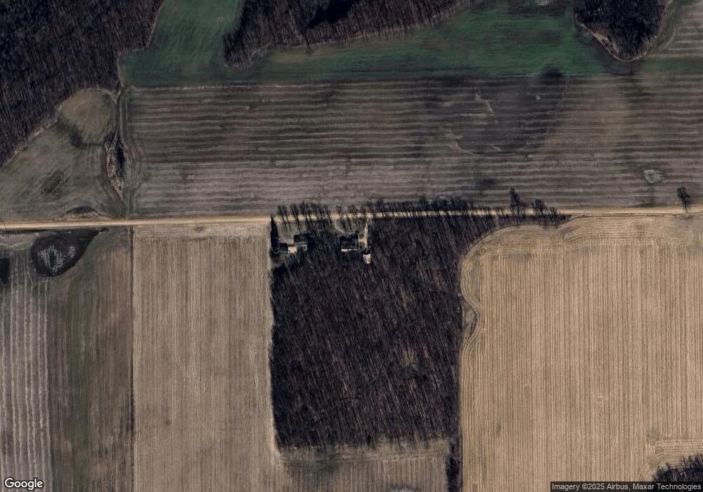
6075 Hack Rd Clinton, MI 49236
Estimated Value: $287,000 - $366,000
3
Beds
3
Baths
1,808
Sq Ft
$173/Sq Ft
Est. Value
About This Home
This home is located at 6075 Hack Rd, Clinton, MI 49236 and is currently estimated at $313,042, approximately $173 per square foot. 6075 Hack Rd is a home located in Lenawee County with nearby schools including Tecumseh Middle School, Herrick Park Intermediate Learning Center, and Tecumseh High School.
Ownership History
Date
Name
Owned For
Owner Type
Purchase Details
Closed on
Feb 12, 2010
Sold by
Holder Billy R and Holder Jean M
Bought by
Holder Billy R and Holder Jean M
Current Estimated Value
Home Financials for this Owner
Home Financials are based on the most recent Mortgage that was taken out on this home.
Original Mortgage
$153,450
Interest Rate
5.11%
Mortgage Type
New Conventional
Purchase Details
Closed on
Jun 19, 2008
Sold by
Holder Billy R and Holder Jean M
Bought by
Holder Billy R and Holder Jean M
Home Financials for this Owner
Home Financials are based on the most recent Mortgage that was taken out on this home.
Original Mortgage
$155,025
Interest Rate
5.96%
Mortgage Type
New Conventional
Purchase Details
Closed on
Aug 31, 2007
Sold by
Holder Billy R and Holder Jean
Bought by
Holder Billy R and Holder Jean M
Purchase Details
Closed on
Oct 1, 1985
Bought by
Holder Family Trust
Create a Home Valuation Report for This Property
The Home Valuation Report is an in-depth analysis detailing your home's value as well as a comparison with similar homes in the area
Purchase History
| Date | Buyer | Sale Price | Title Company |
|---|---|---|---|
| Holder Billy R | -- | None Available | |
| Holder Billy R | -- | None Available | |
| Holder Billy R | -- | None Available | |
| Holder Billy R | -- | None Available | |
| Holder Billy R | -- | None Available | |
| Holder Family Trust | -- | -- |
Source: Public Records
Mortgage History
| Date | Status | Borrower | Loan Amount |
|---|---|---|---|
| Previous Owner | Holder Billy R | $153,450 | |
| Previous Owner | Holder Billy R | $155,025 |
Source: Public Records
Tax History Compared to Growth
Tax History
| Year | Tax Paid | Tax Assessment Tax Assessment Total Assessment is a certain percentage of the fair market value that is determined by local assessors to be the total taxable value of land and additions on the property. | Land | Improvement |
|---|---|---|---|---|
| 2025 | $2,913 | $134,100 | $0 | $0 |
| 2024 | $2,900 | $126,100 | $0 | $0 |
| 2022 | $3,032 | $104,800 | $0 | $0 |
| 2021 | $3,032 | $95,800 | $0 | $0 |
| 2020 | $3,057 | $96,400 | $0 | $0 |
| 2019 | $291,009 | $99,000 | $0 | $0 |
| 2018 | $3,134 | $98,990 | $0 | $0 |
| 2017 | $3,048 | $109,309 | $0 | $0 |
| 2016 | $3,029 | $102,780 | $0 | $0 |
| 2014 | -- | $98,903 | $0 | $0 |
Source: Public Records
Map
Nearby Homes
- 8466 Clinton MacOn Rd
- 8520 Arkona Rd
- 12880 Jordan Rd
- 9761 Britton Hwy
- 0 W Braun Rd Unit 25009478
- 9393 Mills MacOn Hwy
- 6655 Allen Rd
- 9603 Ridge Hwy
- 9991 Kaiser Rd
- 8885 Burmeister Rd
- 3679 Tamerry Ct
- VL 25A Klager Rd
- 10607 Valley View Dr
- 27139 Silo Dr
- 0 Macon Rd Unit 25060414
- 3565 Joanna Ct
- 000 Mooreville Rd
- 10478 River Edge Rd
- Parcel B Fieldstone Dr
- 10678 Valley View Dr
