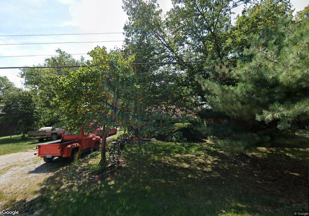
6075 W Hill Rd Decatur, IL 62522
Estimated Value: $97,000 - $243,000
--
Bed
--
Bath
1,232
Sq Ft
$112/Sq Ft
Est. Value
About This Home
This home is located at 6075 W Hill Rd, Decatur, IL 62522 and is currently estimated at $137,998, approximately $112 per square foot. 6075 W Hill Rd is a home located in Macon County.
Ownership History
Date
Name
Owned For
Owner Type
Purchase Details
Closed on
Jul 7, 2015
Current Estimated Value
Create a Home Valuation Report for This Property
The Home Valuation Report is an in-depth analysis detailing your home's value as well as a comparison with similar homes in the area
Home Values in the Area
Average Home Value in this Area
Purchase History
| Date | Buyer | Sale Price | Title Company |
|---|---|---|---|
| -- | -- | -- |
Source: Public Records
Tax History Compared to Growth
Tax History
| Year | Tax Paid | Tax Assessment Tax Assessment Total Assessment is a certain percentage of the fair market value that is determined by local assessors to be the total taxable value of land and additions on the property. | Land | Improvement |
|---|---|---|---|---|
| 2024 | $1,088 | $32,513 | $5,466 | $27,047 |
| 2023 | $1,044 | $27,958 | $5,285 | $22,673 |
| 2022 | $1,563 | $25,854 | $4,887 | $20,967 |
| 2021 | $1,496 | $24,558 | $4,642 | $19,916 |
| 2020 | $1,395 | $23,143 | $4,375 | $18,768 |
| 2019 | $1,395 | $23,143 | $4,375 | $18,768 |
| 2018 | $1,348 | $22,594 | $4,271 | $18,323 |
| 2017 | $1,374 | $22,689 | $4,289 | $18,400 |
| 2016 | $1,387 | $22,662 | $4,284 | $18,378 |
| 2015 | $1,313 | $22,002 | $4,159 | $17,843 |
| 2014 | $1,270 | $21,784 | $4,118 | $17,666 |
| 2013 | $1,361 | $21,784 | $4,118 | $17,666 |
Source: Public Records
Map
Nearby Homes
- 5180 W Cantrell St
- 0 W Wood St
- 445 S Wyckles Rd
- 3247 Nevada Rd
- 7450 W William St
- 0 W Harristown Blvd Unit 6251050
- 3335 Nevada Rd
- 275 N Camp St
- 468 N Megan Dr
- 170 S Hillcrest Blvd
- 480 N Hillcrest Blvd
- 635 N Virginia Ave
- 3889 W Division St
- 2529 W Alice Ln
- 2207 Forest Crest Dr
- 1135 N Moffet Ln
- 1720 N Sunnyside Rd
- 1650 N Sunnyside Rd
- 345 S Westdale Ave
- 3031 Heritage Rd
