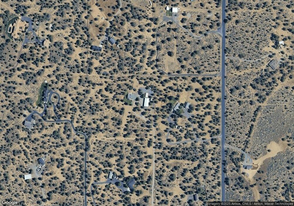
Estimated Value: $1,289,000
3
Beds
3
Baths
3,041
Sq Ft
$424/Sq Ft
Est. Value
About This Home
This home is located at 60760 Ward Rd, Bend, OR 97702 and is currently estimated at $1,289,000, approximately $423 per square foot. 60760 Ward Rd is a home located in Deschutes County with nearby schools including Silver Rail Elementary School, High Desert Middle School, and Bend Senior High School.
Ownership History
Date
Name
Owned For
Owner Type
Purchase Details
Closed on
Sep 16, 2010
Sold by
Federal National Mortgage Association
Bought by
Wright Bradley R and Wright Sara E
Current Estimated Value
Home Financials for this Owner
Home Financials are based on the most recent Mortgage that was taken out on this home.
Original Mortgage
$279,193
Outstanding Balance
$183,731
Interest Rate
4.45%
Mortgage Type
FHA
Estimated Equity
$1,086,269
Purchase Details
Closed on
Feb 22, 2010
Sold by
Blanco Michael S and Blanco Deborah L
Bought by
Federal National Mortgage Association
Create a Home Valuation Report for This Property
The Home Valuation Report is an in-depth analysis detailing your home's value as well as a comparison with similar homes in the area
Purchase History
| Date | Buyer | Sale Price | Title Company |
|---|---|---|---|
| Wright Bradley R | $283,000 | Amerititle | |
| Federal National Mortgage Association | $201,450 | Amerititle |
Source: Public Records
Mortgage History
| Date | Status | Borrower | Loan Amount |
|---|---|---|---|
| Open | Wright Bradley R | $279,193 |
Source: Public Records
Tax History Compared to Growth
Tax History
| Year | Tax Paid | Tax Assessment Tax Assessment Total Assessment is a certain percentage of the fair market value that is determined by local assessors to be the total taxable value of land and additions on the property. | Land | Improvement |
|---|---|---|---|---|
| 2025 | $7,688 | $513,230 | -- | -- |
| 2024 | $7,355 | $498,290 | -- | -- |
| 2023 | $6,922 | $483,780 | $0 | $0 |
| 2022 | $6,382 | $456,010 | $0 | $0 |
| 2021 | $6,421 | $442,730 | $0 | $0 |
| 2020 | $6,063 | $442,730 | $0 | $0 |
| 2019 | $5,892 | $429,840 | $0 | $0 |
| 2018 | $5,720 | $417,330 | $0 | $0 |
| 2017 | $4,466 | $324,940 | $0 | $0 |
| 2016 | $4,243 | $315,480 | $0 | $0 |
| 2015 | $4,124 | $306,300 | $0 | $0 |
Source: Public Records
Map
Nearby Homes
- 60515 Ward Rd
- 60995 Ward Rd
- 60990 Jennings Rd
- 0 Highway 20 Unit 296721434
- 0 Highway 20 Unit 220204469
- 22540 Rickard Rd
- 22311 Mcardle Rd
- 22475 Rickard Rd
- 23669 Dodds Rd
- 23737 NE Highway 20
- 23755 Dodds Rd
- 23636 Ten Barr Trail
- 62118 Cody Jr Rd
- 60840 Billadeau Rd
- 61955 Somerset Dr
- 61416 Cougar Trail
- 62262 Chickadee Ln
- 62370 Wallace Rd
- 21955 Rickard Rd
- 21925 Bear Creek Rd
- 61261 Gribbling Rd
- 22925 Timland Ln
- 60780 Ward Rd
- 61325 Gribbling Rd
- 61250 Gribbling Rd
- 60810 Ward Rd
- 60830 Ward Rd
- 22945 Timland Ln
- 60740 Ward Rd
- 61375 Gribbling Rd
- 61330 Gosney Rd
- 61310 Gribbling Rd
- 60765 Ward Rd
- 60755 Ward Rd
- 23023 Timland Ln
- 61170 Groff Rd
- 22960 Supreme Ct
- 23075 Timland Ln
- 22950 Supreme Ct
- 61120 Groff Rd
