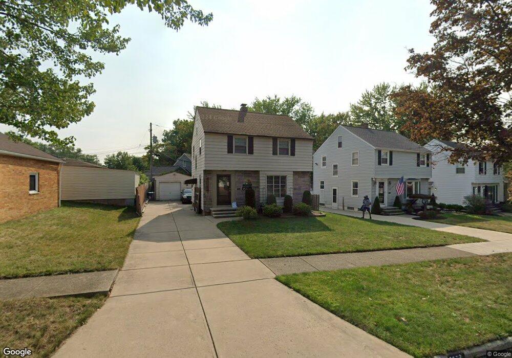
6078 Maplecliff Dr Parma Heights, OH 44130
Estimated Value: $199,568 - $242,000
3
Beds
1
Bath
1,274
Sq Ft
$171/Sq Ft
Est. Value
About This Home
This home is located at 6078 Maplecliff Dr, Parma Heights, OH 44130 and is currently estimated at $217,642, approximately $170 per square foot. 6078 Maplecliff Dr is a home located in Cuyahoga County with nearby schools including Ridge-Brook Elementary School, Greenbriar Middle School, and Valley Forge High School.
Ownership History
Date
Name
Owned For
Owner Type
Purchase Details
Closed on
Aug 9, 2005
Sold by
Durigg Christine L and Flowers Christine L
Bought by
Flowers Jason E
Current Estimated Value
Purchase Details
Closed on
Dec 2, 1997
Sold by
Eikenburg Robert J
Bought by
Mocho Paul J and Mocho Kathleen M
Home Financials for this Owner
Home Financials are based on the most recent Mortgage that was taken out on this home.
Original Mortgage
$94,050
Interest Rate
7.45%
Mortgage Type
New Conventional
Purchase Details
Closed on
Apr 7, 1977
Sold by
Minto Richard R and Minto Marilyn
Bought by
Eikenburg Robert J
Purchase Details
Closed on
Jan 1, 1975
Bought by
Minto Richard R and Minto Marilyn
Create a Home Valuation Report for This Property
The Home Valuation Report is an in-depth analysis detailing your home's value as well as a comparison with similar homes in the area
Home Values in the Area
Average Home Value in this Area
Purchase History
| Date | Buyer | Sale Price | Title Company |
|---|---|---|---|
| Flowers Jason E | -- | Enterprise Title Agency | |
| Mocho Paul J | $99,000 | -- | |
| Eikenburg Robert J | $48,000 | -- | |
| Minto Richard R | -- | -- |
Source: Public Records
Mortgage History
| Date | Status | Borrower | Loan Amount |
|---|---|---|---|
| Previous Owner | Mocho Paul J | $94,050 |
Source: Public Records
Tax History
| Year | Tax Paid | Tax Assessment Tax Assessment Total Assessment is a certain percentage of the fair market value that is determined by local assessors to be the total taxable value of land and additions on the property. | Land | Improvement |
|---|---|---|---|---|
| 2024 | $3,897 | $60,760 | $10,885 | $49,875 |
| 2023 | $3,339 | $44,770 | $7,740 | $37,030 |
| 2022 | $3,320 | $44,765 | $7,735 | $37,030 |
| 2021 | $3,336 | $44,770 | $7,740 | $37,030 |
| 2020 | $3,007 | $36,090 | $6,230 | $29,860 |
| 2019 | $2,927 | $103,100 | $17,800 | $85,300 |
| 2018 | $2,943 | $36,090 | $6,230 | $29,860 |
| 2017 | $2,816 | $32,450 | $5,500 | $26,950 |
| 2016 | $2,796 | $32,450 | $5,500 | $26,950 |
| 2015 | $2,889 | $32,450 | $5,500 | $26,950 |
| 2014 | $2,889 | $33,810 | $5,740 | $28,070 |
Source: Public Records
Map
Nearby Homes
- 6159 Stratford Dr
- 0 Parkhill Dr Unit 5116837
- 6090 Big Creek Pkwy
- 5926 Deering Ave
- 6130 Westminster Dr
- 6370 Stratford Dr
- 6004 Twin Lakes Dr
- 5906 Twin Lakes Dr
- 9304 Snow Rd
- 5979 Twin Lakes Dr
- 11019 Westborough Rd
- 10110 Lynden Oval
- 7915 Renwood Dr
- 8012 Spring Garden Rd
- 8017 Wainstead Dr
- 8011 Bertha Ave
- 0 Pearl Rear Rd
- 11541 Riverview Ct Unit 15
- 12185 Emma Ln
- 11092 Naomi Dr
- 6074 Maplecliff Dr
- 6070 Maplecliff Dr
- 6048 Pearl Rd
- 6052 Pearl Rd
- 9982 Beaconsfield Dr
- 9994 Beaconsfield Dr
- 6066 Maplecliff Dr
- 6075 Maplecliff Dr
- 6071 Maplecliff Dr
- 10003 Chesterfield Dr
- 6044 Pearl Rd
- 6063 Maplecliff Dr
- 6067 Maplecliff Dr
- 10018 Beaconsfield Dr
- 6060 Pearl Rd
- 10017 Chesterfield Dr
- 6059 Maplecliff Dr
- 10030 Beaconsfield Dr
- 10030 Beaconsfield Dr Unit D
- 10033 Chesterfield Dr
Your Personal Tour Guide
Ask me questions while you tour the home.