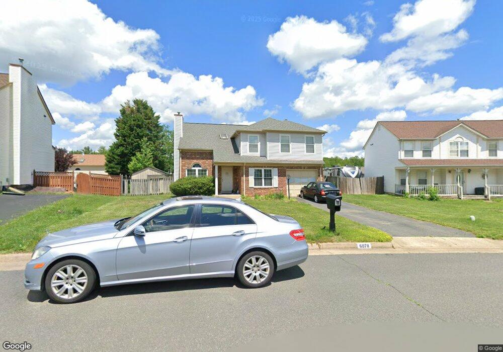
6078 Oust Ln Woodbridge, VA 22193
Oakdale NeighborhoodEstimated Value: $576,270 - $600,000
3
Beds
3
Baths
2,104
Sq Ft
$281/Sq Ft
Est. Value
About This Home
This home is located at 6078 Oust Ln, Woodbridge, VA 22193 and is currently estimated at $592,068, approximately $281 per square foot. 6078 Oust Ln is a home located in Prince William County with nearby schools including Rosa Parks Elementary School, C.D. Hylton High School, and Herbert J. Saunders Middle School.
Ownership History
Date
Name
Owned For
Owner Type
Purchase Details
Closed on
May 31, 1994
Sold by
Ridgedale Inc
Bought by
Morgan Michael J
Current Estimated Value
Home Financials for this Owner
Home Financials are based on the most recent Mortgage that was taken out on this home.
Original Mortgage
$178,092
Interest Rate
8.22%
Create a Home Valuation Report for This Property
The Home Valuation Report is an in-depth analysis detailing your home's value as well as a comparison with similar homes in the area
Home Values in the Area
Average Home Value in this Area
Purchase History
| Date | Buyer | Sale Price | Title Company |
|---|---|---|---|
| Morgan Michael J | $174,725 | -- |
Source: Public Records
Mortgage History
| Date | Status | Borrower | Loan Amount |
|---|---|---|---|
| Closed | Morgan Michael J | $178,092 |
Source: Public Records
Tax History Compared to Growth
Tax History
| Year | Tax Paid | Tax Assessment Tax Assessment Total Assessment is a certain percentage of the fair market value that is determined by local assessors to be the total taxable value of land and additions on the property. | Land | Improvement |
|---|---|---|---|---|
| 2025 | -- | $524,500 | $175,400 | $349,100 |
| 2024 | -- | $484,600 | $162,200 | $322,400 |
| 2023 | $4,703 | $452,000 | $151,300 | $300,700 |
| 2022 | $4,877 | $436,400 | $151,300 | $285,100 |
| 2021 | $4,740 | $392,500 | $139,700 | $252,800 |
| 2020 | $5,681 | $366,500 | $131,600 | $234,900 |
| 2019 | $5,343 | $344,700 | $125,100 | $219,600 |
| 2018 | $4,229 | $350,200 | $126,400 | $223,800 |
| 2017 | $4,132 | $333,400 | $126,200 | $207,200 |
| 2016 | $4,064 | $330,900 | $124,700 | $206,200 |
| 2015 | $3,762 | $332,200 | $124,500 | $207,700 |
| 2014 | $3,762 | $299,200 | $111,700 | $187,500 |
Source: Public Records
Map
Nearby Homes
- 13289 Orangewood Dr
- 6110 Oust Ln
- 6013 Pepco Ct
- 13044 Terminal Way
- 13528 Persian Ct
- 13217 Nickleson Dr
- 14119 Baneberry Cir
- 5886 Rhode Island Dr
- 13454 Princedale Dr
- 13501 Photo Dr
- 12849 Hoadly Manor Dr
- 5833 Rhode Island Dr
- 6233 Alistair Dr
- 5534 Victory Loop
- 5660 Hoadly Rd
- 6435 Apple Tree Ct
- 12704 Purcell Rd
- 5710 Rhode Island Dr
- 6374 Popwicke Ct
- 13647 Van Doren Rd