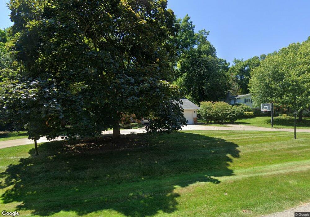
6078 Wellesley Ct West Bloomfield, MI 48322
Estimated Value: $405,217 - $459,000
3
Beds
3
Baths
2,559
Sq Ft
$170/Sq Ft
Est. Value
About This Home
This home is located at 6078 Wellesley Ct, West Bloomfield, MI 48322 and is currently estimated at $436,304, approximately $170 per square foot. 6078 Wellesley Ct is a home located in Oakland County with nearby schools including Sheiko Elementary School, West Bloomfield Middle School, and Bloomfield Maples Montessori.
Ownership History
Date
Name
Owned For
Owner Type
Purchase Details
Closed on
Jan 9, 2012
Sold by
Owens Will
Bought by
Living Word Ministries
Current Estimated Value
Purchase Details
Closed on
May 17, 2006
Sold by
Mumbrue Bruce L and Mumbrue Marcia A
Bought by
Robinson Steven P and Robinson Julie A
Purchase Details
Closed on
Jul 8, 2004
Sold by
Kobosh Kathleen L
Bought by
Brooks Dorothy Ann and Dowell Fern Renee
Create a Home Valuation Report for This Property
The Home Valuation Report is an in-depth analysis detailing your home's value as well as a comparison with similar homes in the area
Home Values in the Area
Average Home Value in this Area
Purchase History
| Date | Buyer | Sale Price | Title Company |
|---|---|---|---|
| Living Word Ministries | -- | None Available | |
| Robinson Steven P | $280,000 | Title One Inc | |
| Brooks Dorothy Ann | $400 | -- |
Source: Public Records
Tax History Compared to Growth
Tax History
| Year | Tax Paid | Tax Assessment Tax Assessment Total Assessment is a certain percentage of the fair market value that is determined by local assessors to be the total taxable value of land and additions on the property. | Land | Improvement |
|---|---|---|---|---|
| 2024 | $2,327 | $154,350 | $0 | $0 |
| 2022 | $2,228 | $137,980 | $32,800 | $105,180 |
| 2021 | $3,386 | $136,070 | $0 | $0 |
| 2020 | $2,183 | $131,820 | $32,800 | $99,020 |
| 2018 | $3,265 | $116,220 | $28,300 | $87,920 |
| 2015 | -- | $92,010 | $0 | $0 |
| 2014 | -- | $85,200 | $0 | $0 |
| 2011 | -- | $78,670 | $0 | $0 |
Source: Public Records
Map
Nearby Homes
- 6151 Orchard Lake Rd Unit 103
- 6109 Orchard Lake Rd Unit 101
- 6145 Orchard Lake Rd Unit 204
- 3865 Stonecrest Rd
- 5780 Swan Lake Ct
- 6322 Pepper Hill St Unit 62
- 6222 Pepper Hill St
- 6624 Mellow Wood Ln
- 5622 Powder Horn Dr
- 5946 Cherry Crest Dr
- 4161 Breckenridge Dr
- 3035 Parkland Dr
- 6769 Heather Heath
- 6843 Leslee Crest Dr
- 3930 Harris Ln
- 3104 Spring St
- 5415 Fairway Ln
- 5321 Fairway Ln Unit 7
- 6564 Alderley Way
- 6651 Hearthside Ct Unit 1
- 6094 Wellesley Ct
- 6060 Wellesley Ct
- 6077 Wellesley Ct
- 6095 Wellesley Dr
- 6071 Wellesley Dr
- 6120 Wellesley Ct
- 6093 Wellesley Ct
- 6061 Wellesley Ct
- 6051 Wellesley Ct
- 6050 Wellesley Ct
- 6109 Wellesley Ct
- 6031 Wellesley Dr
- 6090 Cochise Dr
- 6052 Cochise Dr
- 6131 Wellesley Dr
- 6119 Buxton Dr
- 6110 Cochise Dr
- 5930 Saint James Dr
- 5916 Saint James Dr
- 6032 Cochise Dr