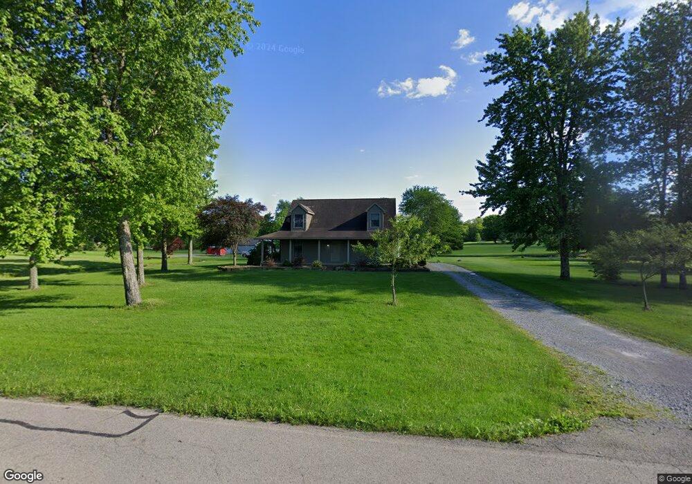
6079 Metz Rd New Middletown, OH 44442
Estimated Value: $371,074 - $559,000
3
Beds
2
Baths
1,849
Sq Ft
$228/Sq Ft
Est. Value
About This Home
This home is located at 6079 Metz Rd, New Middletown, OH 44442 and is currently estimated at $421,769, approximately $228 per square foot. 6079 Metz Rd is a home located in Mahoning County with nearby schools including Springfield Elementary School, Springfield Intermediate Middle School, and Springfield High School.
Ownership History
Date
Name
Owned For
Owner Type
Purchase Details
Closed on
Oct 1, 2014
Sold by
Barnard Kerri A and Sturdevant Kerri A
Bought by
Barnard Roy E
Current Estimated Value
Home Financials for this Owner
Home Financials are based on the most recent Mortgage that was taken out on this home.
Original Mortgage
$150,000
Outstanding Balance
$115,124
Interest Rate
4.13%
Mortgage Type
New Conventional
Estimated Equity
$306,645
Purchase Details
Closed on
Jul 6, 1978
Bought by
Barnard Roy C and Barnard Sandra J
Create a Home Valuation Report for This Property
The Home Valuation Report is an in-depth analysis detailing your home's value as well as a comparison with similar homes in the area
Home Values in the Area
Average Home Value in this Area
Purchase History
| Date | Buyer | Sale Price | Title Company |
|---|---|---|---|
| Barnard Roy E | -- | Reliable Title Agency Inc | |
| Barnard Roy C | -- | -- |
Source: Public Records
Mortgage History
| Date | Status | Borrower | Loan Amount |
|---|---|---|---|
| Open | Barnard Roy E | $150,000 |
Source: Public Records
Tax History Compared to Growth
Tax History
| Year | Tax Paid | Tax Assessment Tax Assessment Total Assessment is a certain percentage of the fair market value that is determined by local assessors to be the total taxable value of land and additions on the property. | Land | Improvement |
|---|---|---|---|---|
| 2024 | $3,964 | $98,020 | $14,230 | $83,790 |
| 2023 | $3,897 | $98,020 | $14,230 | $83,790 |
| 2022 | $3,353 | $75,700 | $14,230 | $61,470 |
| 2021 | $3,379 | $75,700 | $14,230 | $61,470 |
| 2020 | $3,397 | $75,700 | $14,230 | $61,470 |
| 2019 | $3,170 | $68,150 | $14,230 | $53,920 |
| 2018 | $3,131 | $68,150 | $14,230 | $53,920 |
| 2017 | $3,128 | $68,150 | $14,230 | $53,920 |
| 2016 | $2,788 | $60,040 | $10,950 | $49,090 |
| 2015 | $2,713 | $60,040 | $10,950 | $49,090 |
| 2014 | $2,726 | $60,040 | $10,950 | $49,090 |
| 2013 | $2,700 | $60,040 | $10,950 | $49,090 |
Source: Public Records
Map
Nearby Homes
- 0 E Calla Rd Unit 5175446
- 5315 Sycamore Hill Dr
- 9825 Struthers Rd
- 4940 E Calla Rd
- 76 Stacy Dr
- 56 Jeffrey Ln
- 0 Youngstown - Pittsburgh Rd Unit 5110475
- 11.61 acres Stateline Rd
- 11525 Rapp Rd
- 93 Woodland Dr
- 151 Crum Rd
- 0 Meadowbrook Dr Unit 5110501
- 170 Sandy Ct Unit 11
- 170 Sandy Ct Unit 7
- 10115 Carrie Ct
- 0 Sandy Ct Unit 5110511
- 10105 Carrie Ct
- Lot F Kansas Rd
- 10250 Midway Dr
- 4035 Shelly Lynn Dr