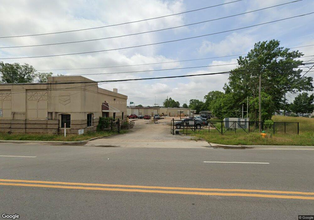
608 Church St NW Unit 2 Huntsville, AL 35801
Lincoln Mill District NeighborhoodEstimated Value: $1,471,583
--
Bed
1
Bath
5,745
Sq Ft
$256/Sq Ft
Est. Value
About This Home
This home is located at 608 Church St NW Unit 2, Huntsville, AL 35801 and is currently estimated at $1,471,583, approximately $256 per square foot. 608 Church St NW Unit 2 is a home located in Madison County with nearby schools including Martin Luther King Jr. Elementary School, Chapman Middle School, and Lee High School.
Ownership History
Date
Name
Owned For
Owner Type
Purchase Details
Closed on
Aug 25, 2022
Sold by
Stevens Oil Company Inc
Bought by
Vine Group Inc
Current Estimated Value
Home Financials for this Owner
Home Financials are based on the most recent Mortgage that was taken out on this home.
Original Mortgage
$1,812,200
Outstanding Balance
$1,732,967
Interest Rate
5.54%
Estimated Equity
-$261,384
Create a Home Valuation Report for This Property
The Home Valuation Report is an in-depth analysis detailing your home's value as well as a comparison with similar homes in the area
Home Values in the Area
Average Home Value in this Area
Purchase History
| Date | Buyer | Sale Price | Title Company |
|---|---|---|---|
| Vine Group Inc | -- | -- |
Source: Public Records
Mortgage History
| Date | Status | Borrower | Loan Amount |
|---|---|---|---|
| Open | Vine Group Inc | $1,812,200 |
Source: Public Records
Tax History Compared to Growth
Tax History
| Year | Tax Paid | Tax Assessment Tax Assessment Total Assessment is a certain percentage of the fair market value that is determined by local assessors to be the total taxable value of land and additions on the property. | Land | Improvement |
|---|---|---|---|---|
| 2024 | $8,535 | $141,120 | $20,440 | $120,680 |
| 2023 | $8,185 | $141,120 | $20,440 | $120,680 |
| 2022 | $7,244 | $124,900 | $21,600 | $103,300 |
| 2021 | $6,167 | $106,320 | $21,600 | $84,720 |
| 2020 | $5,736 | $98,900 | $21,600 | $77,300 |
| 2019 | $5,476 | $94,420 | $21,600 | $72,820 |
| 2018 | $5,288 | $91,180 | $0 | $0 |
| 2017 | $5,288 | $91,180 | $0 | $0 |
| 2016 | $5,288 | $91,180 | $0 | $0 |
| 2015 | $5,288 | $91,180 | $0 | $0 |
| 2014 | $5,085 | $87,680 | $0 | $0 |
Source: Public Records
Map
Nearby Homes
- 715 Hundley Dr NW
- 708 Cross St NW
- 111 Beirne Ave NW
- 1307 Pulaski Pike NW
- 256 Washington St NE Unit Plan A
- 248 Washington St NE Unit Plan B
- 254 Washington St NE Unit Plan B
- 234 Washington St NE Unit Plan C
- 2304 Bell Ave NW
- 2306 Bell Ave NW
- 2305 Stanley Dr NW
- 207 Lincoln St NE
- 301 Holmes Ave NE Unit 204
- 301 Holmes Ave NE Unit 301
- 301 Holmes Ave NE Unit 404
- 204 Beirne Ave NE Unit A & B
- 211 Ward Ave NE
- 214 Beirne Ave NE
- 911 Lee Dr NW
- 223 Ward Ave NE
- 608 Church St NW
- 701 Pratt Ave NW Unit 8
- 701 Pratt Ave NW
- 701 Pratt Ave NE Unit 8
- 537 Church St NW
- 1302 University Dr NW
- 1801 University Dr NW
- 522 Mill St NW
- 1805 University Dr NW
- 702 Pratt Ave NW
- 411 Darryl Ave NW
- 0 Conception Ave NW
- 0 Mill St NW
- 407 Darryl Ave NW
- 715 Orchard St NW
- 405 Darryl Ave NW
- 1806 University Dr NW Unit O
- 1806 University Dr NW Unit P
- 1806 University Dr NW Unit S
- 1806 University Dr NW Unit F