608 Dockery Ln Mineral Bluff, GA 30559
Estimated Value: $382,000 - $788,267
--
Bed
1
Bath
1,152
Sq Ft
$499/Sq Ft
Est. Value
About This Home
This home is located at 608 Dockery Ln, Mineral Bluff, GA 30559 and is currently estimated at $575,317, approximately $499 per square foot. 608 Dockery Ln is a home located in Fannin County with nearby schools including Fannin County High School.
Ownership History
Date
Name
Owned For
Owner Type
Purchase Details
Closed on
Aug 31, 2007
Sold by
Foster Kenneth
Bought by
Foster Kenneth and Foster Melissa L
Current Estimated Value
Purchase Details
Closed on
Sep 1, 2000
Sold by
Foster Robert E
Bought by
Foster Kenneth
Purchase Details
Closed on
Jul 25, 1996
Sold by
Wiggins Henry L
Bought by
Foster Robert L
Purchase Details
Closed on
Jan 5, 1994
Bought by
Wiggins Henry L
Purchase Details
Closed on
Jan 12, 1993
Bought by
Reece Marilyn L
Create a Home Valuation Report for This Property
The Home Valuation Report is an in-depth analysis detailing your home's value as well as a comparison with similar homes in the area
Home Values in the Area
Average Home Value in this Area
Purchase History
| Date | Buyer | Sale Price | Title Company |
|---|---|---|---|
| Foster Kenneth | -- | -- | |
| Foster Kenneth | -- | -- | |
| Foster Robert L | $75,000 | -- | |
| Wiggins Henry L | $74,000 | -- | |
| Reece Marilyn L | -- | -- |
Source: Public Records
Tax History Compared to Growth
Tax History
| Year | Tax Paid | Tax Assessment Tax Assessment Total Assessment is a certain percentage of the fair market value that is determined by local assessors to be the total taxable value of land and additions on the property. | Land | Improvement |
|---|---|---|---|---|
| 2024 | $2,400 | $349,868 | $48,785 | $301,083 |
| 2023 | $2,201 | $289,470 | $48,785 | $240,685 |
| 2022 | $2,245 | $291,275 | $48,785 | $242,490 |
| 2021 | $1,973 | $175,970 | $37,036 | $138,934 |
| 2020 | $2,006 | $175,970 | $37,036 | $138,934 |
| 2019 | $1,849 | $159,686 | $37,036 | $122,650 |
| 2018 | $1,959 | $156,320 | $33,670 | $122,650 |
| 2017 | $2,801 | $158,300 | $33,670 | $124,630 |
| 2016 | $1,849 | $140,743 | $33,670 | $107,073 |
| 2015 | $2,042 | $141,798 | $33,670 | $108,129 |
| 2014 | $2,166 | $165,203 | $47,804 | $117,399 |
| 2013 | -- | $139,734 | $47,804 | $91,930 |
Source: Public Records
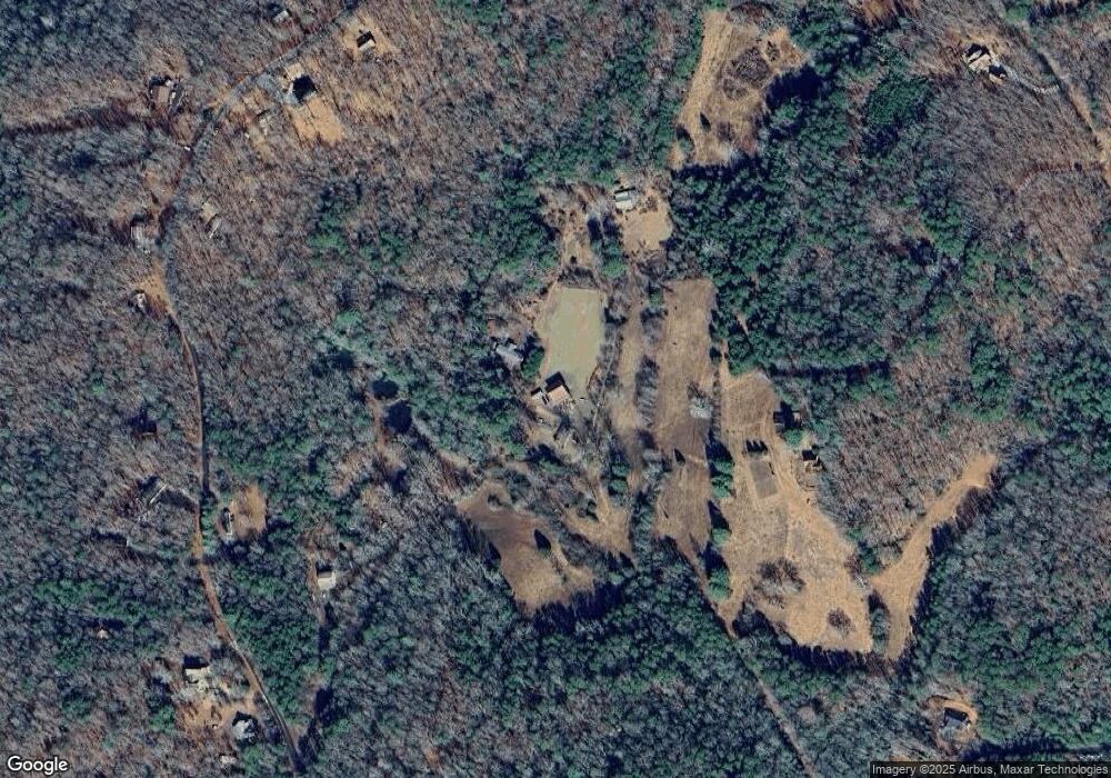
Map
Nearby Homes
- 469 Mull Dr
- 275 Autumn Ridge Dr
- Lot 1 N View Dr
- 0 N View Dr Unit 327586
- Lot 2 N View Dr
- 0 N View Dr Unit 327583
- 144 Humphrey Heights Rd
- 0 Autumn Ridge Drive Lot 10 & Lot 11 Dr Unit 10647540
- 211 Big Timber Rd
- 307 Big Timber Rd
- 1359 Salem Rd
- 2372 Humphrey Mill Rd
- 180 Cinnamon Bear Rd
- 381 Ross Dr
- 789 Old Mill Pond Rd
- lt 42-43 Old Mill Pond Rd
- 36A Old Mill Pond Rd
- LOT 44 Old Mill Pond Rd
- LOT 45 Old Mill Pond Rd
- LTS 42-43 Old Mill Pond Rd