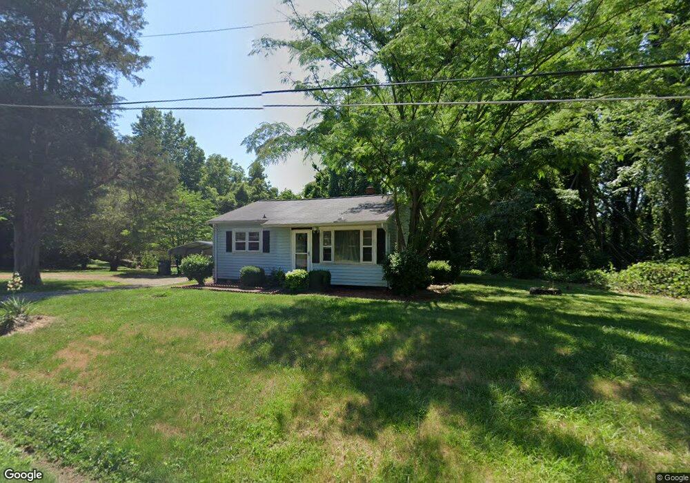
608 Grier St Statesville, NC 28677
Estimated Value: $63,000 - $145,000
2
Beds
1
Bath
812
Sq Ft
$130/Sq Ft
Est. Value
About This Home
This home is located at 608 Grier St, Statesville, NC 28677 and is currently estimated at $105,473, approximately $129 per square foot. 608 Grier St is a home located in Iredell County with nearby schools including N.B. Mills Elementary School, West Iredell Middle School, and West Iredell High School.
Ownership History
Date
Name
Owned For
Owner Type
Purchase Details
Closed on
Sep 23, 2022
Sold by
Mcneely Jeffrey C and Mcneely Cindy C
Bought by
Moore Todd D
Current Estimated Value
Purchase Details
Closed on
May 10, 2011
Sold by
Mcneely Jeffrey C and Mcneely Cindy C
Bought by
Moore Todd
Purchase Details
Closed on
Jul 22, 2003
Sold by
Tatum Reginald and Tatum Shelia S
Bought by
Mcneely Jeffrey C and Mcneely Cindy C
Home Financials for this Owner
Home Financials are based on the most recent Mortgage that was taken out on this home.
Original Mortgage
$38,700
Interest Rate
5.16%
Mortgage Type
Purchase Money Mortgage
Purchase Details
Closed on
Aug 1, 1990
Purchase Details
Closed on
Jun 1, 1979
Purchase Details
Closed on
Jun 1, 1969
Create a Home Valuation Report for This Property
The Home Valuation Report is an in-depth analysis detailing your home's value as well as a comparison with similar homes in the area
Home Values in the Area
Average Home Value in this Area
Purchase History
| Date | Buyer | Sale Price | Title Company |
|---|---|---|---|
| Moore Todd D | $42,000 | -- | |
| Moore Todd D | $42,000 | None Listed On Document | |
| Moore Todd | $57,000 | None Available | |
| Mcneely Jeffrey C | $43,000 | -- | |
| -- | -- | -- | |
| -- | $17,500 | -- | |
| -- | -- | -- |
Source: Public Records
Mortgage History
| Date | Status | Borrower | Loan Amount |
|---|---|---|---|
| Previous Owner | Mcneely Jeffrey C | $38,700 |
Source: Public Records
Tax History Compared to Growth
Tax History
| Year | Tax Paid | Tax Assessment Tax Assessment Total Assessment is a certain percentage of the fair market value that is determined by local assessors to be the total taxable value of land and additions on the property. | Land | Improvement |
|---|---|---|---|---|
| 2024 | $229 | $67,540 | $18,000 | $49,540 |
| 2023 | $229 | $67,540 | $18,000 | $49,540 |
| 2022 | $300 | $38,320 | $7,800 | $30,520 |
| 2021 | $296 | $38,320 | $7,800 | $30,520 |
| 2020 | $296 | $38,320 | $7,800 | $30,520 |
| 2019 | $293 | $38,320 | $7,800 | $30,520 |
| 2018 | $240 | $31,490 | $6,000 | $25,490 |
| 2017 | $240 | $31,490 | $6,000 | $25,490 |
| 2016 | $240 | $31,490 | $6,000 | $25,490 |
| 2015 | $240 | $31,490 | $6,000 | $25,490 |
| 2014 | -- | $40,470 | $6,000 | $34,470 |
Source: Public Records
Map
Nearby Homes
- 2321 Cline St
- 1716 Younger Ave
- 1713 Forest Dr
- 1709 Younger Ave
- 3 Williams Ave
- 417 Central Dr
- 407 Central Dr
- 1309 Williams Rd
- 2607 Moss Rd
- 812 Candy Dr
- 818 Candy Dr
- Robie Plan at Bristol Terrace
- Penwell Plan at Bristol Terrace
- Hayden Plan at Bristol Terrace
- 119 Mary Locke Way
- Cali Plan at Bristol Terrace
- Aria Plan at Bristol Terrace
- Darwin Plan at Bristol Terrace
- Hamilton Plan at Bristol Terrace
- 131 Mary Locke Way