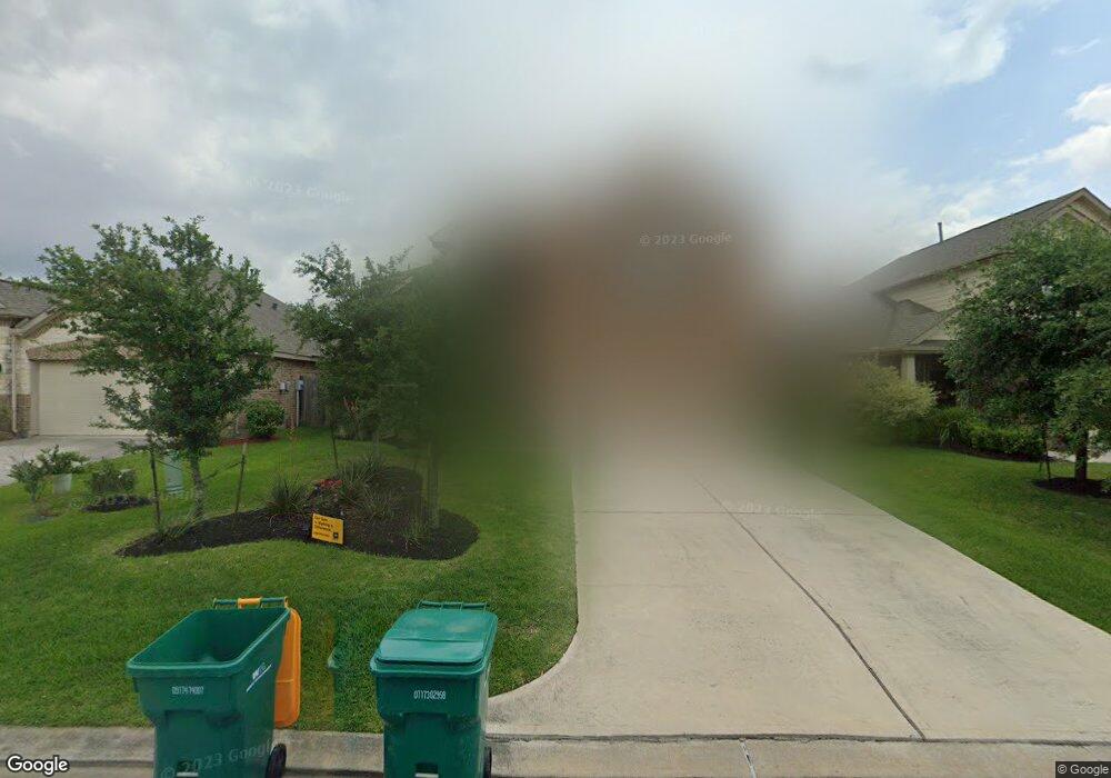
608 Maple Point Dr E Conroe, TX 77301
Estimated Value: $282,229 - $323,000
4
Beds
3
Baths
2,422
Sq Ft
$124/Sq Ft
Est. Value
About This Home
This home is located at 608 Maple Point Dr E, Conroe, TX 77301 and is currently estimated at $299,807, approximately $123 per square foot. 608 Maple Point Dr E is a home located in Montgomery County with nearby schools including Patterson Elementary School, Bozman Intermediate School, and Stockton Junior High School.
Ownership History
Date
Name
Owned For
Owner Type
Purchase Details
Closed on
Sep 29, 2016
Sold by
Lennar Homes Of Texas Sales & Marketing
Bought by
Universal American Mortgage Company Llc
Current Estimated Value
Home Financials for this Owner
Home Financials are based on the most recent Mortgage that was taken out on this home.
Original Mortgage
$214,335
Outstanding Balance
$171,830
Interest Rate
3.46%
Mortgage Type
FHA
Estimated Equity
$127,977
Purchase Details
Closed on
Sep 4, 2013
Sold by
Conroe Metro Development Ltd
Bought by
White Demetrius D
Create a Home Valuation Report for This Property
The Home Valuation Report is an in-depth analysis detailing your home's value as well as a comparison with similar homes in the area
Home Values in the Area
Average Home Value in this Area
Purchase History
| Date | Buyer | Sale Price | Title Company |
|---|---|---|---|
| Universal American Mortgage Company Llc | -- | Nat | |
| White Demetrius D | -- | -- | |
| Lennar Homes Of Texas Sales & Marketing | -- | North American Title Company | |
| White Demetrius D | -- | -- |
Source: Public Records
Mortgage History
| Date | Status | Borrower | Loan Amount |
|---|---|---|---|
| Open | Lennar Homes Of Texas Sales & Marketing | $214,335 | |
| Closed | White Demetrius D | $214,335 |
Source: Public Records
Tax History
| Year | Tax Paid | Tax Assessment Tax Assessment Total Assessment is a certain percentage of the fair market value that is determined by local assessors to be the total taxable value of land and additions on the property. | Land | Improvement |
|---|---|---|---|---|
| 2025 | $5,829 | $316,376 | $42,500 | $273,876 |
| 2024 | $5,508 | $293,014 | $42,500 | $250,514 |
| 2023 | $5,508 | $279,060 | $42,500 | $262,110 |
| 2022 | $6,784 | $253,690 | $42,500 | $252,220 |
| 2021 | $6,426 | $230,630 | $42,500 | $188,130 |
| 2020 | $6,460 | $224,190 | $11,500 | $212,690 |
| 2019 | $6,392 | $218,020 | $11,500 | $206,520 |
| 2018 | $5,472 | $205,100 | $11,500 | $193,600 |
| 2017 | $6,032 | $205,100 | $11,500 | $193,600 |
| 2016 | $139 | $4,720 | $4,720 | $0 |
| 2015 | $111 | $4,720 | $4,720 | $0 |
| 2014 | $111 | $4,720 | $4,720 | $0 |
Source: Public Records
Map
Nearby Homes
- 2280 Ivy Wall Dr
- 623 Orchid Hill Dr E
- 2325 Shady Tree Ln
- 2261 Oak Circle Dr N
- 2213 Ivy Wall Dr
- 0 Beach Airport Rd
- 1251 Beach Airport Rd
- 502 Birch Cluster Ct
- 2139 Twisted Cedar Ct
- 1511 Las Cuevas Dr
- 2741 Cadiz Bay Dr
- 2504 Hawks Eye Dr
- 2508 Hawks Eye Dr
- 1106 Burkes Ridge Trail
- 2520 Hawks Eye Dr
- 2524 Hawks Eye Dr
- 1102 Burkes Ridge Trail
- 2532 Hawks Eye Dr
- 2536 Hawks Eye Dr
- 2540 Hawks Eye Dr
- 604 Maple Point Dr E
- 612 Maple Point Dr E
- 616 Maple Point Dr E
- 611 Oak Circle Dr E
- 615 Oak Circle Dr E
- 607 Oak Circle Dr E
- 619 Oak Circle Dr E
- 620 Maple Point Dr E
- 609 Maple Point Dr E
- 613 Maple Point Dr E
- 623 Oak Circle Dr E
- 617 Maple Point Dr E
- 624 Maple Point Dr E
- 627 Oak Circle Dr E
- 627 Oak Circle Dr E
- 621 Maple Point Dr E
- 621 Maple Point Dr E
- 2296 Ivy Wall Dr
- 2292 Ivy Wall Dr
- 628 Maple Point Dr E
Your Personal Tour Guide
Ask me questions while you tour the home.