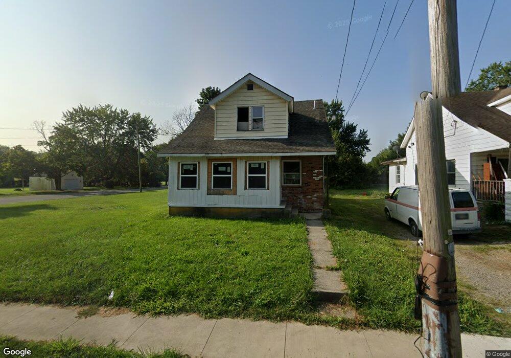
608 Michael Ave Lima, OH 45804
Fifth Ward NeighborhoodEstimated Value: $51,067 - $72,000
3
Beds
1
Bath
1,197
Sq Ft
$55/Sq Ft
Est. Value
About This Home
This home is located at 608 Michael Ave, Lima, OH 45804 and is currently estimated at $65,517, approximately $54 per square foot. 608 Michael Ave is a home located in Allen County with nearby schools including Freedom Elementary School, Lima North Middle School, and Lima West Middle School.
Ownership History
Date
Name
Owned For
Owner Type
Purchase Details
Closed on
Jul 1, 2022
Sold by
Knuckles Arthur L
Bought by
Tibbs Andre Lamont
Current Estimated Value
Purchase Details
Closed on
May 8, 2019
Sold by
Johnson Gregory
Bought by
Knuckles Arthur
Purchase Details
Closed on
Jan 15, 2014
Sold by
Godsey Gail and Johnson Gail
Bought by
Johnson Gregory
Purchase Details
Closed on
Mar 17, 2005
Sold by
Ingomar Lp
Bought by
Godsey Gail
Purchase Details
Closed on
Mar 16, 1993
Sold by
Rader Everette A
Bought by
Brown Treva M
Purchase Details
Closed on
Dec 15, 1987
Bought by
Rader Everette A
Create a Home Valuation Report for This Property
The Home Valuation Report is an in-depth analysis detailing your home's value as well as a comparison with similar homes in the area
Home Values in the Area
Average Home Value in this Area
Purchase History
| Date | Buyer | Sale Price | Title Company |
|---|---|---|---|
| Tibbs Andre Lamont | -- | Tremoulis Michael J | |
| Knuckles Arthur | $2,700 | None Available | |
| Johnson Gregory | -- | None Available | |
| Godsey Gail | $9,000 | Attorneys Title | |
| Brown Treva M | $15,000 | -- | |
| Rader Everette A | $7,500 | -- |
Source: Public Records
Tax History
| Year | Tax Paid | Tax Assessment Tax Assessment Total Assessment is a certain percentage of the fair market value that is determined by local assessors to be the total taxable value of land and additions on the property. | Land | Improvement |
|---|---|---|---|---|
| 2024 | $411 | $9,800 | $980 | $8,820 |
| 2023 | $442 | $9,350 | $950 | $8,400 |
| 2022 | $494 | $9,350 | $950 | $8,400 |
| 2021 | $467 | $9,350 | $950 | $8,400 |
| 2020 | $1,156 | $8,830 | $950 | $7,880 |
| 2019 | $1,156 | $8,830 | $950 | $7,880 |
| 2018 | $1,827 | $8,830 | $950 | $7,880 |
| 2017 | $2,811 | $8,830 | $950 | $7,880 |
| 2016 | $1,375 | $8,830 | $950 | $7,880 |
| 2015 | $741 | $8,830 | $950 | $7,880 |
| 2014 | $741 | $9,250 | $1,020 | $8,230 |
| 2013 | $752 | $9,250 | $1,020 | $8,230 |
Source: Public Records
Map
Nearby Homes
- 606 Michael Ave
- 560 Michael Ave
- 804 Florence Ave
- 542 Michael Ave
- 700 Michael Ave
- 611 Michael Ave
- 609 Michael Ave
- 601 Michael Ave
- 540 Michael Ave
- 617 Michael Ave
- 702 Michael Ave
- 621 Michael Ave
- 538 Michael Ave
- 704 Michael Ave
- 545 Michael Ave
- 623 Michael Ave
- 951 Madison Ave
- 1016 S Scott St
- 534 Michael Ave
- 716 Michael Ave
Your Personal Tour Guide
Ask me questions while you tour the home.