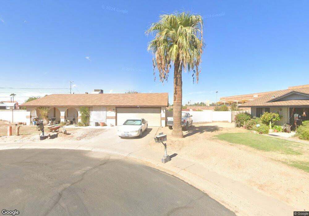
608 N Date Cir Buckeye, AZ 85326
Estimated Value: $291,430 - $320,000
3
Beds
2
Baths
1,454
Sq Ft
$213/Sq Ft
Est. Value
About This Home
This home is located at 608 N Date Cir, Buckeye, AZ 85326 and is currently estimated at $309,108, approximately $212 per square foot. 608 N Date Cir is a home located in Maricopa County with nearby schools including Buckeye Elementary School, Buckeye Union High School, and The Odyssey Preparatory Academy.
Ownership History
Date
Name
Owned For
Owner Type
Purchase Details
Closed on
Mar 22, 2010
Sold by
Hughes Teris
Bought by
Amparano Ramon R and Amparano Carmen G
Current Estimated Value
Purchase Details
Closed on
Mar 16, 2006
Sold by
Hughes Teris R
Bought by
Hughes Teris R and Caruso Franklin
Purchase Details
Closed on
Jan 9, 1997
Sold by
Spatz David and Spatz Audrey
Bought by
Hughes Teris R
Home Financials for this Owner
Home Financials are based on the most recent Mortgage that was taken out on this home.
Original Mortgage
$62,000
Interest Rate
7.86%
Mortgage Type
New Conventional
Create a Home Valuation Report for This Property
The Home Valuation Report is an in-depth analysis detailing your home's value as well as a comparison with similar homes in the area
Home Values in the Area
Average Home Value in this Area
Purchase History
| Date | Buyer | Sale Price | Title Company |
|---|---|---|---|
| Amparano Ramon R | $50,000 | First American Title Ins Co | |
| Hughes Teris R | -- | None Available | |
| Hughes Teris R | $77,500 | First American Title |
Source: Public Records
Mortgage History
| Date | Status | Borrower | Loan Amount |
|---|---|---|---|
| Previous Owner | Hughes Teris R | $62,000 |
Source: Public Records
Tax History Compared to Growth
Tax History
| Year | Tax Paid | Tax Assessment Tax Assessment Total Assessment is a certain percentage of the fair market value that is determined by local assessors to be the total taxable value of land and additions on the property. | Land | Improvement |
|---|---|---|---|---|
| 2025 | $696 | $6,529 | -- | -- |
| 2024 | $672 | $6,218 | -- | -- |
| 2023 | $672 | $22,550 | $4,510 | $18,040 |
| 2022 | $676 | $16,410 | $3,280 | $13,130 |
| 2021 | $716 | $14,010 | $2,800 | $11,210 |
| 2020 | $677 | $12,880 | $2,570 | $10,310 |
| 2019 | $640 | $12,650 | $2,530 | $10,120 |
| 2018 | $605 | $9,920 | $1,980 | $7,940 |
| 2017 | $567 | $8,400 | $1,680 | $6,720 |
| 2016 | $712 | $6,850 | $1,370 | $5,480 |
| 2015 | $523 | $6,130 | $1,220 | $4,910 |
Source: Public Records
Map
Nearby Homes
- 1310 E Ironwood Dr
- 607 N Palm Cir
- 1630 E Silverbirch Ave
- 703 Monroe Ave
- 1637 E Ash Ave
- 1009 E Monroe Ave
- 1009 E Monroe Ave
- 103 E Baseline Rd Unit 3
- 215 N Pima Rd
- 516 E Baseline Rd
- 309 5th Ave E
- 514 E Baseline Rd
- 805 E Jackson Ave
- 709 E Edison Ave
- 624 E Roosevelt Ave
- 204 E Baseline Rd
- 511 E Arizona Ave
- 510 E Arizona Ave
- XXXX Lot 1 Butterfly Rd Unit 1
- 104xxx N Place Unit 20,19,18,17 & 16
- 606 N Date Cir
- 607 N Date Cir
- 605 N Date Cir
- 604 N Date Cir
- 24255 W Us Highway 85
- 603 N Date Cir
- 612 E Ironwood Dr
- 608 E Ironwood Dr
- 0 W Hyw 85 -- Unit 5650714
- 602 N Date Cir
- 614 E Ironwood Dr
- 606 E Ironwood Dr
- 616 E Ironwood Dr
- 601 N Date Cir
- 24253 W Us Highway 85
- 604 E Ironwood Dr
- 1212 E Ironwood Dr
- 609 E Ironwood Dr
- 602 E Ironwood Dr
- 611 E Ironwood Dr