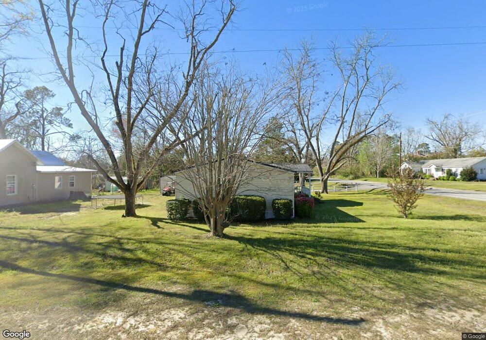
608 S Swift St Twin City, GA 30471
Estimated Value: $166,000 - $192,000
3
Beds
2
Baths
2,188
Sq Ft
$80/Sq Ft
Est. Value
About This Home
This home is located at 608 S Swift St, Twin City, GA 30471 and is currently estimated at $175,395, approximately $80 per square foot. 608 S Swift St is a home located in Emanuel County with nearby schools including Twin City Elementary School.
Ownership History
Date
Name
Owned For
Owner Type
Purchase Details
Closed on
Apr 27, 2011
Sold by
Fannie Mae
Bought by
Farris Bill H
Current Estimated Value
Purchase Details
Closed on
May 4, 2010
Sold by
Hagan Rebecca A
Bought by
Bank Of America N A
Purchase Details
Closed on
Aug 18, 2006
Sold by
Davis Johnny A
Bought by
Hagan Rebecca A
Purchase Details
Closed on
Nov 14, 2003
Sold by
Willis Eugene T
Bought by
Davis Johnny A and Davis Barbara A
Create a Home Valuation Report for This Property
The Home Valuation Report is an in-depth analysis detailing your home's value as well as a comparison with similar homes in the area
Home Values in the Area
Average Home Value in this Area
Purchase History
| Date | Buyer | Sale Price | Title Company |
|---|---|---|---|
| Farris Bill H | $76,150 | -- | |
| Bank Of America N A | $76,200 | -- | |
| Federal National Mortgage Association | $76,150 | -- | |
| Bank Of America Na | $76,150 | -- | |
| Hagan Rebecca A | $36,000 | -- | |
| Davis Johnny A | $17,000 | -- |
Source: Public Records
Tax History Compared to Growth
Tax History
| Year | Tax Paid | Tax Assessment Tax Assessment Total Assessment is a certain percentage of the fair market value that is determined by local assessors to be the total taxable value of land and additions on the property. | Land | Improvement |
|---|---|---|---|---|
| 2024 | $1,743 | $56,474 | $2,277 | $54,197 |
| 2023 | $2,109 | $68,081 | $2,277 | $65,804 |
| 2022 | $1,454 | $61,770 | $2,277 | $59,493 |
| 2021 | $1,369 | $57,552 | $1,980 | $55,572 |
| 2020 | $793 | $34,320 | $1,610 | $32,710 |
| 2019 | $788 | $34,320 | $1,610 | $32,710 |
| 2018 | $936 | $34,136 | $1,610 | $32,526 |
| 2017 | $939 | $34,136 | $1,610 | $32,526 |
| 2016 | $746 | $34,136 | $1,610 | $32,526 |
| 2015 | -- | $34,162 | $1,636 | $32,526 |
| 2014 | -- | $32,692 | $1,169 | $31,523 |
| 2013 | -- | $31,791 | $1,168 | $30,622 |
Source: Public Records
Map
Nearby Homes
- 211 6th Ave
- 912 5th Ave
- 317 5th Ave
- 1120 5th Ave
- 0 Scarboro Church Rd Unit 25066343
- 519 Wilson Rd
- 889 Ga Highway 192 N
- S S Old Reidsville Rd
- 211 S Railroad St
- 405 Monroe St
- 56 Rock Creek Rd
- 184 Eagle Pass
- 3770 Hill Rd
- 11 Plantation Dr
- 1073 Hawhammock Ch Rd
- 760 Memphis Rd
- 875 Prosperity Dr
- 0 S Old Reidsville Rd Unit 10556290
- 849 Prosperity Dr
- Brantley Loop