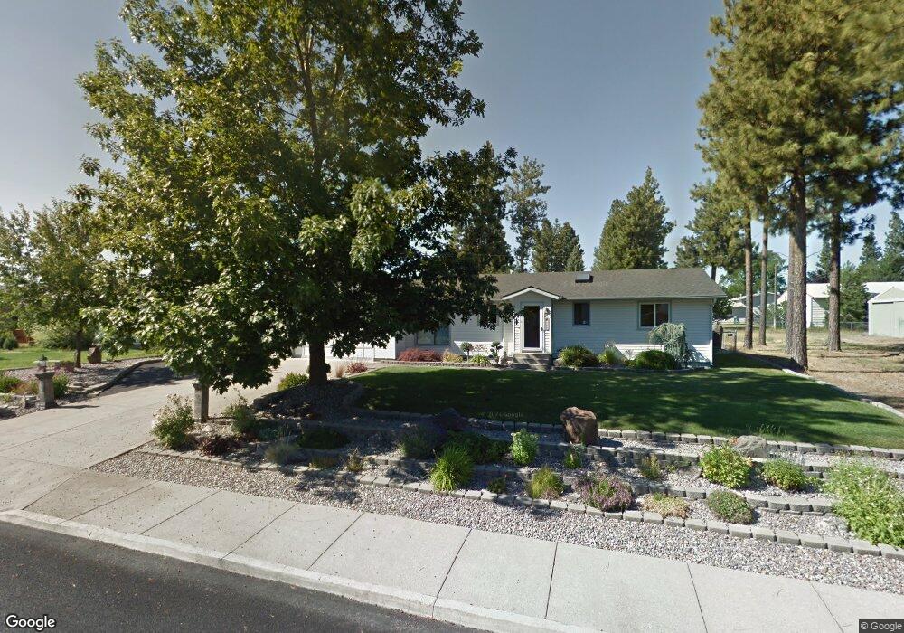
608 W 14th Ave Post Falls, ID 83854
Central Post Falls NeighborhoodEstimated Value: $529,000 - $570,000
3
Beds
2
Baths
2,496
Sq Ft
$220/Sq Ft
Est. Value
About This Home
This home is located at 608 W 14th Ave, Post Falls, ID 83854 and is currently estimated at $549,764, approximately $220 per square foot. 608 W 14th Ave is a home located in Kootenai County with nearby schools including Seltice Elementary School, River City Middle School, and Post Falls High School.
Ownership History
Date
Name
Owned For
Owner Type
Purchase Details
Closed on
Jun 6, 2013
Sold by
Cook Ronald J and Cook Stacey M
Bought by
Blankenship Perry
Current Estimated Value
Home Financials for this Owner
Home Financials are based on the most recent Mortgage that was taken out on this home.
Original Mortgage
$187,200
Outstanding Balance
$132,449
Interest Rate
3.37%
Mortgage Type
New Conventional
Estimated Equity
$417,315
Purchase Details
Closed on
Apr 11, 2013
Sold by
Hamilton Robert L
Bought by
Cook Ronald J and Cook Stacey M
Home Financials for this Owner
Home Financials are based on the most recent Mortgage that was taken out on this home.
Original Mortgage
$187,200
Outstanding Balance
$132,449
Interest Rate
3.37%
Mortgage Type
New Conventional
Estimated Equity
$417,315
Create a Home Valuation Report for This Property
The Home Valuation Report is an in-depth analysis detailing your home's value as well as a comparison with similar homes in the area
Home Values in the Area
Average Home Value in this Area
Purchase History
| Date | Buyer | Sale Price | Title Company |
|---|---|---|---|
| Blankenship Perry | -- | Pioneer Title Kootenai Count | |
| Cook Ronald J | -- | Pioneer Title Kootenai Count |
Source: Public Records
Mortgage History
| Date | Status | Borrower | Loan Amount |
|---|---|---|---|
| Open | Blankenship Perry | $187,200 | |
| Previous Owner | Cook Ronald J | $47,625 |
Source: Public Records
Tax History Compared to Growth
Tax History
| Year | Tax Paid | Tax Assessment Tax Assessment Total Assessment is a certain percentage of the fair market value that is determined by local assessors to be the total taxable value of land and additions on the property. | Land | Improvement |
|---|---|---|---|---|
| 2024 | $2,131 | $509,370 | $145,000 | $364,370 |
| 2023 | $2,131 | $562,690 | $155,250 | $407,440 |
| 2022 | $2,800 | $579,940 | $172,500 | $407,440 |
| 2021 | $2,601 | $381,920 | $115,000 | $266,920 |
| 2020 | $2,660 | $332,870 | $95,000 | $237,870 |
| 2019 | $2,533 | $299,850 | $75,000 | $224,850 |
| 2018 | $2,216 | $257,880 | $70,000 | $187,880 |
| 2017 | $2,107 | $237,370 | $55,000 | $182,370 |
| 2016 | $1,947 | $214,460 | $40,000 | $174,460 |
| 2015 | $2,053 | $214,220 | $40,000 | $174,220 |
| 2013 | $780 | $167,350 | $32,000 | $135,350 |
Source: Public Records
Map
Nearby Homes
- 1680 N Foxglove Ln
- 1601 N Pine St
- 1714 N Chehalis St
- 1424 W Tualatin Dr
- 206 W 17th Ave
- The Sycamore Plan at Stone's Throw
- The Sedona Plan at Stone's Throw
- The Sumac III Plan at Stone's Throw
- 104 W 16th Ave
- 101 W 17th Ave
- 2108 N Columbine Ct
- 1858 N Teanaway
- 2229 N Sockeye Dr
- 2212 N Columbine Ct
- 2431 N Rawhide Ridge Rd
- 2031 W Yaquina Dr
- 403 E 9th Ave
- 308 E 22nd Ave
- 1733 N Minam Loop
- 2324 W Malad Ave