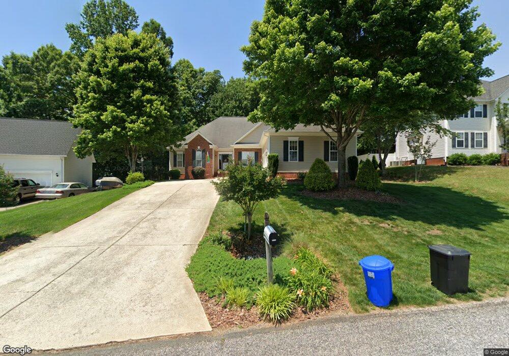
6080 Charring Rd Kernersville, NC 27284
Piney Grove NeighborhoodEstimated Value: $363,299 - $409,000
3
Beds
2
Baths
2,040
Sq Ft
$187/Sq Ft
Est. Value
About This Home
This home is located at 6080 Charring Rd, Kernersville, NC 27284 and is currently estimated at $381,075, approximately $186 per square foot. 6080 Charring Rd is a home located in Forsyth County with nearby schools including Piney Grove Elementary, Kernersville Middle, and East Forsyth High School.
Ownership History
Date
Name
Owned For
Owner Type
Purchase Details
Closed on
Oct 5, 2021
Sold by
Mittelstaedt Rhonda and Mittelstaedt Mark E
Bought by
Hanko Paul R and Hanko Katherine L
Current Estimated Value
Home Financials for this Owner
Home Financials are based on the most recent Mortgage that was taken out on this home.
Original Mortgage
$236,000
Outstanding Balance
$214,742
Interest Rate
2.8%
Mortgage Type
New Conventional
Estimated Equity
$166,333
Purchase Details
Closed on
Jan 11, 1999
Sold by
The New Fortis Corp
Bought by
Mittelstaedt Mark E and Mittelstaedt Rhonda
Home Financials for this Owner
Home Financials are based on the most recent Mortgage that was taken out on this home.
Original Mortgage
$144,000
Interest Rate
6.77%
Purchase Details
Closed on
Sep 21, 1998
Sold by
Kerner Developers
Bought by
The New Fortis Corp
Create a Home Valuation Report for This Property
The Home Valuation Report is an in-depth analysis detailing your home's value as well as a comparison with similar homes in the area
Home Values in the Area
Average Home Value in this Area
Purchase History
| Date | Buyer | Sale Price | Title Company |
|---|---|---|---|
| Hanko Paul R | $295,000 | None Available | |
| Mittelstaedt Mark E | $180,000 | -- | |
| The New Fortis Corp | $24,500 | -- |
Source: Public Records
Mortgage History
| Date | Status | Borrower | Loan Amount |
|---|---|---|---|
| Open | Hanko Paul R | $236,000 | |
| Previous Owner | Mittelstaedt Mark E | $144,000 |
Source: Public Records
Tax History Compared to Growth
Tax History
| Year | Tax Paid | Tax Assessment Tax Assessment Total Assessment is a certain percentage of the fair market value that is determined by local assessors to be the total taxable value of land and additions on the property. | Land | Improvement |
|---|---|---|---|---|
| 2025 | $1,876 | $352,800 | $60,000 | $292,800 |
| 2024 | $1,876 | $228,300 | $50,000 | $178,300 |
| 2023 | $1,876 | $228,300 | $50,000 | $178,300 |
| 2022 | $1,876 | $228,300 | $50,000 | $178,300 |
| 2021 | $1,851 | $225,300 | $50,000 | $175,300 |
| 2020 | $1,666 | $187,000 | $42,000 | $145,000 |
| 2019 | $1,685 | $187,000 | $42,000 | $145,000 |
| 2018 | $1,621 | $187,000 | $42,000 | $145,000 |
| 2016 | $1,638 | $190,179 | $42,000 | $148,179 |
| 2015 | $1,638 | $190,179 | $42,000 | $148,179 |
| 2014 | $1,582 | $190,179 | $42,000 | $148,179 |
Source: Public Records
Map
Nearby Homes
- 6025 Fording Creek Ln
- 6165 Habersham Dr
- 6031 Glenacre Dr
- 2100 Eagle Valley Ct
- 1721 Abbottsford Dr
- 2120 Eagle Valley Ct
- 1700 Abbottsford Dr
- 1705 Braemore Ct
- 7106 Smokerise Ln
- 1516 Chimney Rock Dr
- 1661 Round Hill Cir
- 7186 Shagbark Dr
- 1800 Kerner Rd
- 1470 Old Coach Rd
- 2480 Dean Rd
- 2162 Summerlyn Park Dr
- 5225 Belews Creek Rd
- 3825 Old Hollow Rd
- 5305 Belews Creek Rd
- 3698 Old 66 Cir
- 6080 Charring Dr
- 6090 Charring Dr
- 6070 Charring Dr
- 7745 Abington Dr
- 160 Fairidge Ct
- 7715 Abington Dr
- 6060 Charring Dr
- 6060 Charring Rd
- 6075 Charring Dr
- 7755 Abington Dr
- 150 Fairidge Ct
- 7705 Abington Dr
- 175 Fairidge Ct
- 7730 Abington Dr
- 7740 Abington Dr
- 7720 Abington Dr
- 6050 Charring Dr
- 6055 Charring Dr
- 6055 Charring Rd
- 140 Fairidge Ct