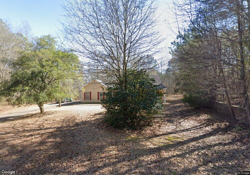
6081 Rockland Rd Lithonia, GA 30038
Estimated Value: $253,000 - $375,000
3
Beds
2
Baths
1,547
Sq Ft
$196/Sq Ft
Est. Value
About This Home
This home is located at 6081 Rockland Rd, Lithonia, GA 30038 and is currently estimated at $303,616, approximately $196 per square foot. 6081 Rockland Rd is a home located in DeKalb County with nearby schools including Flat Rock Elementary School, Lithonia Middle School, and Lithonia High School.
Ownership History
Date
Name
Owned For
Owner Type
Purchase Details
Closed on
Sep 14, 2010
Sold by
Bank Of Ny Mellon 2004Rz2
Bought by
May Frank P
Current Estimated Value
Purchase Details
Closed on
Jun 1, 2010
Sold by
Flynn Donna A
Bought by
Bank Of Ny Ramp 2004Rz2
Purchase Details
Closed on
Jan 14, 2004
Sold by
Kelley Jacqueline M
Bought by
Flynn Donna A
Home Financials for this Owner
Home Financials are based on the most recent Mortgage that was taken out on this home.
Original Mortgage
$200,000
Interest Rate
5.85%
Mortgage Type
New Conventional
Create a Home Valuation Report for This Property
The Home Valuation Report is an in-depth analysis detailing your home's value as well as a comparison with similar homes in the area
Home Values in the Area
Average Home Value in this Area
Purchase History
| Date | Buyer | Sale Price | Title Company |
|---|---|---|---|
| May Frank P | $87,000 | -- | |
| Bank Of Ny Ramp 2004Rz2 | $48,760 | -- | |
| Flynn Donna A | $200,000 | -- |
Source: Public Records
Mortgage History
| Date | Status | Borrower | Loan Amount |
|---|---|---|---|
| Previous Owner | Flynn Donna A | $200,000 |
Source: Public Records
Tax History Compared to Growth
Tax History
| Year | Tax Paid | Tax Assessment Tax Assessment Total Assessment is a certain percentage of the fair market value that is determined by local assessors to be the total taxable value of land and additions on the property. | Land | Improvement |
|---|---|---|---|---|
| 2025 | $4,611 | $93,640 | $23,560 | $70,080 |
| 2024 | $4,907 | $101,000 | $23,560 | $77,440 |
| 2023 | $4,907 | $95,560 | $22,480 | $73,080 |
| 2022 | $4,056 | $85,160 | $22,480 | $62,680 |
| 2021 | $3,243 | $65,640 | $22,480 | $43,160 |
| 2020 | $2,849 | $57,400 | $22,480 | $34,920 |
| 2019 | $3,148 | $64,600 | $22,480 | $42,120 |
| 2018 | $2,892 | $59,080 | $22,480 | $36,600 |
| 2017 | $3,017 | $61,320 | $37,480 | $23,840 |
| 2016 | $2,929 | $59,200 | $37,480 | $21,720 |
| 2014 | $3,936 | $80,000 | $37,480 | $42,520 |
Source: Public Records
Map
Nearby Homes
- 3642 Serenity Ln
- 7161 Gladstone Cir
- 3619 Trinity Place
- 6093 Ruby Falls
- 6400 Rockland Rd
- 3555 Wade Rd
- 6061 Spring Way
- 5985 Spring Way
- 6055 Spring Way
- 5786 Spring Mill Cir
- 5723 Fieldstone Dr
- 3591 Bramblevine Cir Unit 2
- 3656 Salem Trail
- 3646 Salem Dr
- 5964 Springfair Run
- 4165 Brooks Mill Dr
- 3003 Fairing Hill
- 2966 Fairton Trail
- 5633 Fox Den Trail
- 5664 Reynard Trail
- 6021 Rockland Rd
- 6109 Rockland Rd
- 6126 Rockland Rd
- 6067 Rockland Rd
- 6111R Rockland Rd
- 6300 Serenity Cove
- 3593 Serenity Ln
- 3573 Serenity Ln
- 3563 Serenity Ln
- 6140 Rockland Rd
- 3553 Serenity Ln
- 6308 Serenity Cove
- 6313 Serenity Cove
- 3583 Serenity Ln
- 6301 Serenity Cove
- 6033 Rockland Rd
- 3543 Serenity Ln
- 6316 Serenity Cove
- 6309 Serenity Cove
- 0 Serenity Ln Unit 3198669