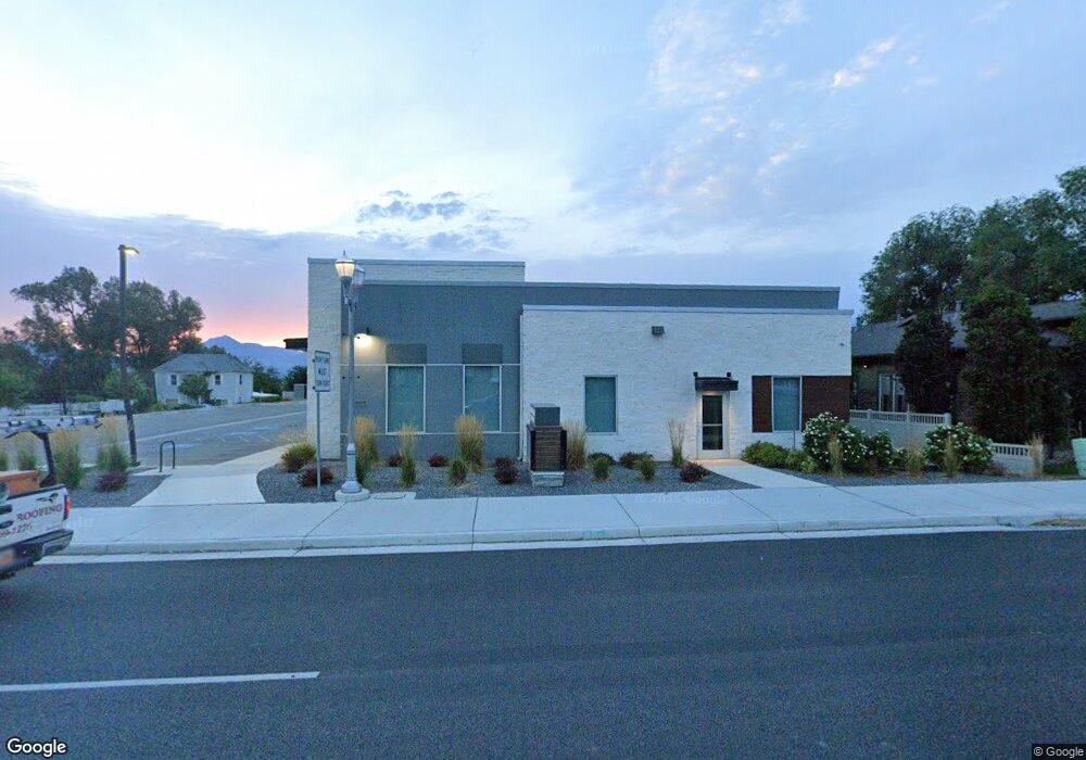
6081 S Redwood Rd Salt Lake City, UT 84123
3
Beds
2
Baths
1,838
Sq Ft
0.8
Acres
About This Home
This home is located at 6081 S Redwood Rd, Salt Lake City, UT 84123. 6081 S Redwood Rd is a home located in Salt Lake County with nearby schools including Calvin S Smith Elementary School, Bennion Junior High School, and Taylorsville High School.
Ownership History
Date
Name
Owned For
Owner Type
Purchase Details
Closed on
Feb 8, 2022
Sold by
Tw Dental Holdings Llc
Bought by
Utah Department Of Transportation
Purchase Details
Closed on
Dec 10, 2021
Sold by
Tw Dental Holdings Llc
Bought by
Utah Department Of Transportation
Purchase Details
Closed on
Jun 30, 2008
Sold by
Wirt Roger and Wirt Linda
Bought by
Ark Real Estate Llc
Home Financials for this Owner
Home Financials are based on the most recent Mortgage that was taken out on this home.
Original Mortgage
$397,500
Interest Rate
6.04%
Mortgage Type
Purchase Money Mortgage
Purchase Details
Closed on
Mar 6, 1996
Sold by
Velarde Roy and Huntsman Eric Preston
Bought by
Wirt Roger and Wirt Linda
Home Financials for this Owner
Home Financials are based on the most recent Mortgage that was taken out on this home.
Original Mortgage
$115,184
Interest Rate
7%
Mortgage Type
FHA
Create a Home Valuation Report for This Property
The Home Valuation Report is an in-depth analysis detailing your home's value as well as a comparison with similar homes in the area
Home Values in the Area
Average Home Value in this Area
Purchase History
| Date | Buyer | Sale Price | Title Company |
|---|---|---|---|
| Utah Department Of Transportation | -- | None Listed On Document | |
| Utah Department Of Transportation | -- | None Listed On Document | |
| Ark Real Estate Llc | -- | First American Ncs | |
| Wirt Roger | -- | First American Title |
Source: Public Records
Mortgage History
| Date | Status | Borrower | Loan Amount |
|---|---|---|---|
| Previous Owner | Ark Real Estate Llc | $397,500 | |
| Previous Owner | Wirt Roger | $115,184 |
Source: Public Records
Tax History Compared to Growth
Tax History
| Year | Tax Paid | Tax Assessment Tax Assessment Total Assessment is a certain percentage of the fair market value that is determined by local assessors to be the total taxable value of land and additions on the property. | Land | Improvement |
|---|---|---|---|---|
| 2025 | $14,174 | $1,648,200 | $504,600 | $1,143,600 |
| 2024 | $14,174 | $1,619,100 | $636,900 | $982,200 |
| 2023 | $14,174 | $1,254,000 | $603,800 | $650,200 |
| 2022 | $15,537 | $1,470,400 | $610,300 | $860,100 |
| 2021 | $12,360 | $1,286,300 | $723,600 | $562,700 |
| 2020 | $5,255 | $702,800 | $702,800 | $0 |
Source: Public Records
Map
Nearby Homes
- 6189 S Elderberry Ln
- 1506 W 6235 S
- 1471 W 6170 S
- 1297 Glencoe Dr
- 5924 S Jordan Canal Rd
- 1429 Connie Way
- 2137 W 6200 S
- 2126 W Happiness Dr
- 1501 W Bluemont Dr
- 1481 W Bluemont Dr
- 1193 W Dun Robin Ct
- 1179 W Dun Robin Ct
- 2322 W Surrey Rd
- 2342 W 6200 S
- 5552 Hew Wood Dr
- 2001 W 5540 S
- 2127 Cedar Breaks Dr
- 2332 Broderick Dr
- 6683 Alice Susanna Ln
- 2333 W Ledgewood Dr
- 6065 S Redwood Rd
- 6065 S Redwood Rd
- 6099 S Redwood Rd
- 6174 S Redwood Rd
- 1630 Elsie Dr
- 1636 Gaylawood Cir
- 1636 W Gaylawood Cir
- 1623 Elsie Dr
- 1637 Gaylawood Cir
- 6141 S Redwood Rd
- 6047 S Redwood Rd
- 6140 S Redwood Rd
- 6150 S Redwood Rd
- 1628 Gaylawood Cir
- 1628 W Gaylawood Cir
- 1624 Elsie Dr
- 1609 Elsie Dr
- 1627 Gaylawood Cir
- 1640 W Roenewood Cir
- 6034 Family Tree Place